18 Linden Ct Boyertown, PA 19512
Estimated Value: $324,000 - $341,000
3
Beds
3
Baths
1,600
Sq Ft
$208/Sq Ft
Est. Value
About This Home
This home is located at 18 Linden Ct, Boyertown, PA 19512 and is currently estimated at $332,427, approximately $207 per square foot. 18 Linden Ct is a home located in Montgomery County with nearby schools including Boyertown Area Senior High School and Brookeside Montessori School.
Ownership History
Date
Name
Owned For
Owner Type
Purchase Details
Closed on
Oct 22, 2010
Sold by
Wood Thomas J and Wood Bonnie L
Bought by
Horn Amy S
Current Estimated Value
Home Financials for this Owner
Home Financials are based on the most recent Mortgage that was taken out on this home.
Original Mortgage
$130,000
Outstanding Balance
$85,786
Interest Rate
4.35%
Estimated Equity
$246,641
Purchase Details
Closed on
Sep 11, 2000
Sold by
Silverman Arthur A and Silverman Hope P
Bought by
Wood Thomas J and Wood Bonnie L
Create a Home Valuation Report for This Property
The Home Valuation Report is an in-depth analysis detailing your home's value as well as a comparison with similar homes in the area
Home Values in the Area
Average Home Value in this Area
Purchase History
| Date | Buyer | Sale Price | Title Company |
|---|---|---|---|
| Horn Amy S | $162,500 | None Available | |
| Wood Thomas J | $112,900 | -- |
Source: Public Records
Mortgage History
| Date | Status | Borrower | Loan Amount |
|---|---|---|---|
| Open | Horn Amy S | $130,000 |
Source: Public Records
Tax History Compared to Growth
Tax History
| Year | Tax Paid | Tax Assessment Tax Assessment Total Assessment is a certain percentage of the fair market value that is determined by local assessors to be the total taxable value of land and additions on the property. | Land | Improvement |
|---|---|---|---|---|
| 2025 | $4,022 | $101,840 | $20,110 | $81,730 |
| 2024 | $4,022 | $101,840 | $20,110 | $81,730 |
| 2023 | $3,824 | $101,840 | $20,110 | $81,730 |
| 2022 | $3,703 | $101,840 | $20,110 | $81,730 |
| 2021 | $3,587 | $101,840 | $20,110 | $81,730 |
| 2020 | $3,409 | $101,840 | $20,110 | $81,730 |
| 2019 | $3,312 | $101,840 | $20,110 | $81,730 |
| 2018 | $575 | $101,840 | $20,110 | $81,730 |
| 2017 | $3,047 | $101,840 | $20,110 | $81,730 |
| 2016 | $3,007 | $101,840 | $20,110 | $81,730 |
| 2015 | $2,864 | $101,840 | $20,110 | $81,730 |
| 2014 | $2,864 | $101,840 | $20,110 | $81,730 |
Source: Public Records
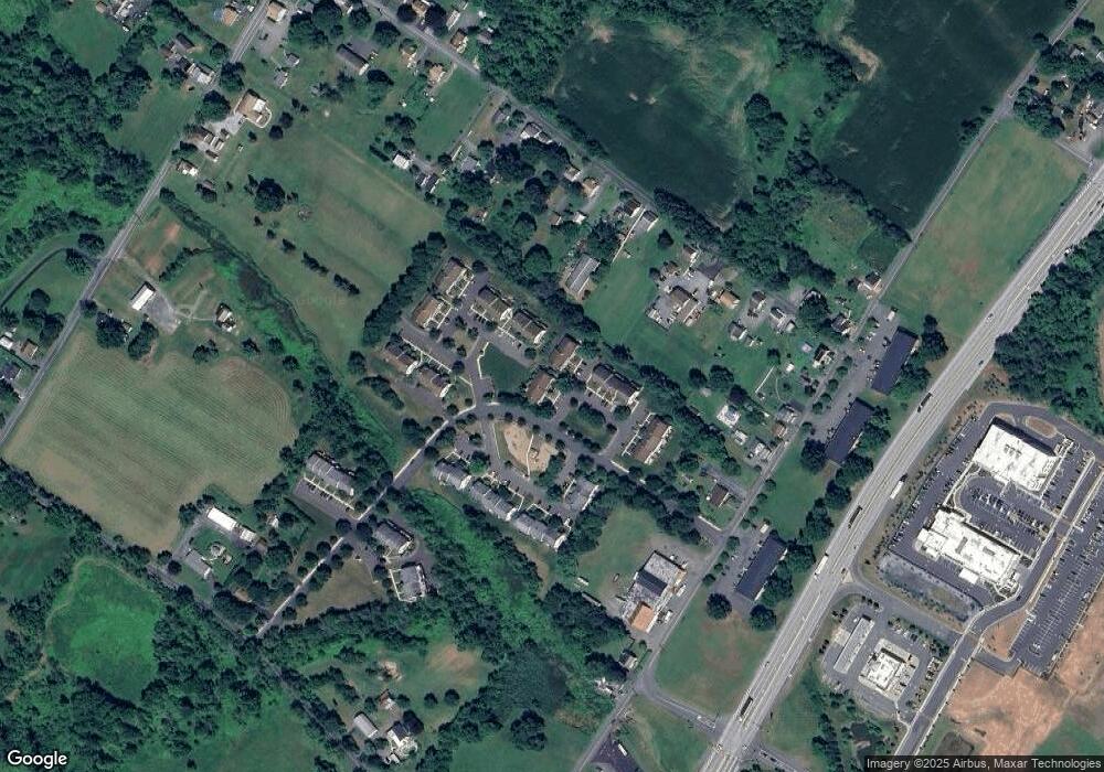
Map
Nearby Homes
- 11 Linden Ct Unit 11
- 15 Thomas Ln
- 25 Hunters Dr
- 16 Hunters Dr
- 241 Sweinhart Rd
- 201 Jackson Rd
- 290 Buchert Rd Unit 1
- 288 Buchert Rd Unit 2
- 286 Buchert Rd
- 60 Foxwood Dr
- 23 Foxwood Dr
- 622 Rhoads Ave
- 141 Greshville Rd
- 638 Gilbertsville Rd
- 332 S Reading Ave
- 210 JACKSON & 300 Merkel Rd
- 151 S Reading Ave
- 1008 Reading Ave
- 0 W Philadelphia Ave
- 100 College St
- 19 Linden Ct
- 17 Linden Ct
- 20 Linden Ct
- 16 Linden Ct
- 15 Linden Ct
- 14 Linden Ct
- 13 Linden Ct
- 12 Linden Ct
- 21 Stafford Square
- 22 Stafford Square
- 10 Linden Ct
- 23 Stafford Square
- 9 Linden Ct
- 24 Stafford Square
- 8 Linden Ct
- 25 Stafford Square
- 7 Linden Ct
- 26 Stafford Square
- 44 Stafford Square
- 27 Stafford Square