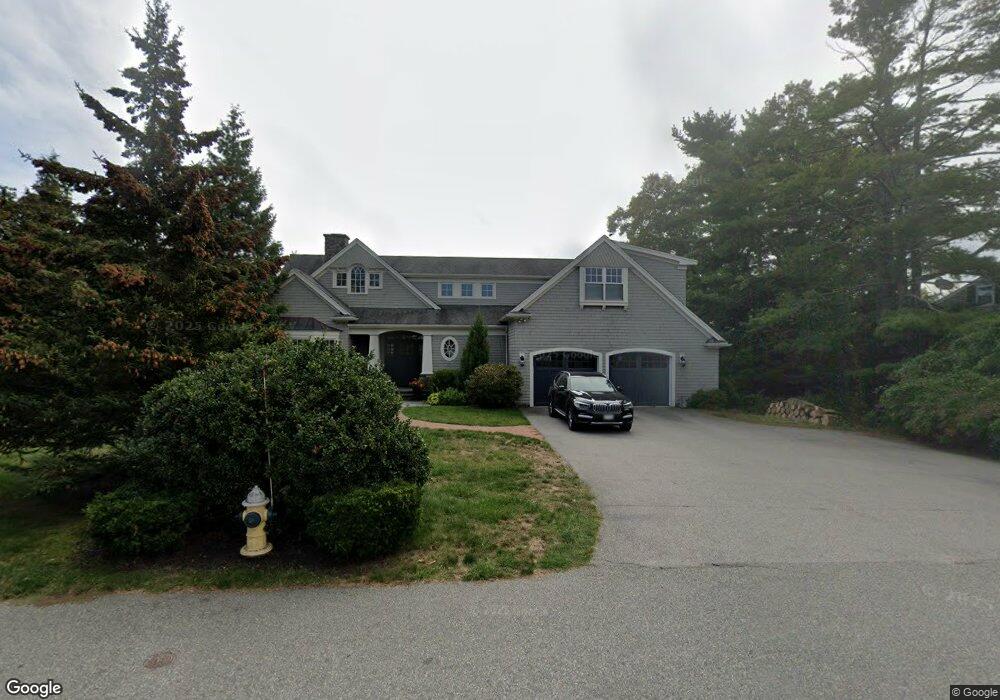
18 Little Harbor Rd Cohasset, MA 02025
Estimated Value: $2,032,000 - $2,703,000
6
Beds
3
Baths
3,891
Sq Ft
$626/Sq Ft
Est. Value
About This Home
This home is located at 18 Little Harbor Rd, Cohasset, MA 02025 and is currently estimated at $2,437,686, approximately $626 per square foot. 18 Little Harbor Rd is a home located in Norfolk County with nearby schools including Joseph Osgood School, Deer Hill School, and Cohasset Middle School.
Ownership History
Date
Name
Owned For
Owner Type
Purchase Details
Closed on
Nov 14, 2008
Sold by
Prairie Patti
Bought by
Speer Nora and Speer Robert O
Current Estimated Value
Purchase Details
Closed on
Oct 11, 2007
Sold by
Karo Douglas and Karo Kara
Bought by
Prairie Patti
Purchase Details
Closed on
May 14, 2007
Sold by
Lanzendorfer John L
Bought by
Karo Douglas and Karo Kara
Purchase Details
Closed on
Jan 12, 2007
Sold by
Bowman Barbara L
Bought by
Lanzendorfer John
Create a Home Valuation Report for This Property
The Home Valuation Report is an in-depth analysis detailing your home's value as well as a comparison with similar homes in the area
Home Values in the Area
Average Home Value in this Area
Purchase History
| Date | Buyer | Sale Price | Title Company |
|---|---|---|---|
| Speer Nora | $767,500 | -- | |
| Speer Nora | $767,500 | -- | |
| Prairie Patti | $775,000 | -- | |
| Prairie Patti | $775,000 | -- | |
| Karo Douglas | $707,500 | -- | |
| Karo Douglas | $707,500 | -- | |
| Lanzendorfer John | $550,000 | -- | |
| Lanzendorfer John | $550,000 | -- |
Source: Public Records
Mortgage History
| Date | Status | Borrower | Loan Amount |
|---|---|---|---|
| Open | Lanzendorfer John | $425,000 | |
| Closed | Lanzendorfer John | $250,000 |
Source: Public Records
Tax History Compared to Growth
Tax History
| Year | Tax Paid | Tax Assessment Tax Assessment Total Assessment is a certain percentage of the fair market value that is determined by local assessors to be the total taxable value of land and additions on the property. | Land | Improvement |
|---|---|---|---|---|
| 2025 | $22,703 | $1,960,500 | $1,089,500 | $871,000 |
| 2024 | $21,700 | $1,783,100 | $890,800 | $892,300 |
| 2023 | $20,866 | $1,768,300 | $890,800 | $877,500 |
| 2022 | $21,342 | $1,699,200 | $890,800 | $808,400 |
| 2021 | $19,587 | $1,502,100 | $746,600 | $755,500 |
| 2020 | $19,482 | $1,502,100 | $746,600 | $755,500 |
| 2019 | $19,377 | $1,502,100 | $746,600 | $755,500 |
| 2018 | $19,212 | $1,502,100 | $746,600 | $755,500 |
| 2017 | $19,424 | $1,487,300 | $746,500 | $740,800 |
| 2016 | $19,156 | $1,487,300 | $746,500 | $740,800 |
| 2015 | $18,904 | $1,487,300 | $746,500 | $740,800 |
| 2014 | $18,651 | $1,487,300 | $746,500 | $740,800 |
Source: Public Records
Map
Nearby Homes
- 101 Nichols Rd
- 356 Atlantic Ave
- 146 N Main St Unit 146
- 247 Forest Ave
- 25 Ripley Rd
- 11 Beach St
- 135 Beach St
- 17 Mohawk Way
- 29 Heather Dr
- 25 Mohawk Way
- 296 N Main St
- 89 Ripley Rd
- 152 Forest Ave
- 577 Jerusalem Rd
- 15 Cushing Rd
- 128 Elm St Unit 211
- 21-23 Elm Ct
- 119 Pleasant St
- 4 Margin St Unit A
- 137 Fairoaks Ln
- 10 Little Harbor Rd
- 22 Little Harbor Rd
- 14 Nichols Rd
- 20 Nichols Rd
- 21 Little Harbor Rd
- 6 Nichols Rd
- 207 Jerusalem Rd
- 9 Little Harbor Rd
- 7 Little Harbor Rd
- 24 Little Harbor Rd
- 195 Jerusalem Rd
- 217 Jerusalem Rd
- 32 Nichols Rd
- 29 Little Harbor Rd
- 15 Nichols Rd
- 231 Jerusalem Rd
- 26 Little Harbor Rd
- 185 Jerusalem Rd
- 185 Jerusalem Rd Unit 1
- 40 Nichols Rd