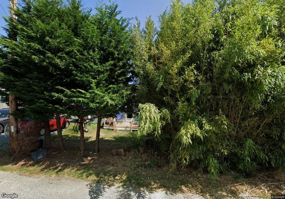
18 Lone Tree Rd Dennis Port, MA 02639
Dennis Port NeighborhoodEstimated Value: $486,000 - $551,493
2
Beds
1
Bath
984
Sq Ft
$525/Sq Ft
Est. Value
About This Home
This home is located at 18 Lone Tree Rd, Dennis Port, MA 02639 and is currently estimated at $516,623, approximately $525 per square foot. 18 Lone Tree Rd is a home located in Barnstable County with nearby schools including Dennis-Yarmouth Regional High School and St. Pius X. School.
Ownership History
Date
Name
Owned For
Owner Type
Purchase Details
Closed on
Jan 30, 1986
Bought by
Briggs Robert P
Current Estimated Value
Create a Home Valuation Report for This Property
The Home Valuation Report is an in-depth analysis detailing your home's value as well as a comparison with similar homes in the area
Home Values in the Area
Average Home Value in this Area
Purchase History
| Date | Buyer | Sale Price | Title Company |
|---|---|---|---|
| Briggs Robert P | -- | -- |
Source: Public Records
Mortgage History
| Date | Status | Borrower | Loan Amount |
|---|---|---|---|
| Open | Briggs Robert P | $30,000 | |
| Open | Briggs Robert P | $50,000 |
Source: Public Records
Tax History Compared to Growth
Tax History
| Year | Tax Paid | Tax Assessment Tax Assessment Total Assessment is a certain percentage of the fair market value that is determined by local assessors to be the total taxable value of land and additions on the property. | Land | Improvement |
|---|---|---|---|---|
| 2025 | $2,171 | $501,400 | $212,600 | $288,800 |
| 2024 | $2,088 | $475,700 | $204,500 | $271,200 |
| 2023 | $2,020 | $432,500 | $185,900 | $246,600 |
| 2022 | $1,966 | $351,000 | $167,500 | $183,500 |
| 2021 | $2,060 | $341,600 | $187,600 | $154,000 |
| 2020 | $1,855 | $304,100 | $164,200 | $139,900 |
| 2019 | $1,772 | $287,200 | $161,000 | $126,200 |
| 2018 | $1,700 | $268,200 | $153,200 | $115,000 |
| 2017 | $75,042 | $253,600 | $142,300 | $111,300 |
| 2016 | $1,595 | $244,300 | $153,200 | $91,100 |
| 2015 | $1,564 | $244,300 | $153,200 | $91,100 |
| 2014 | $1,445 | $227,500 | $131,300 | $96,200 |
Source: Public Records
Map
Nearby Homes
- 71 Main St
- 4 Coffey Ln
- 125 Main St Unit 3
- 19 Standish Way
- 12 Spoonbill Rd
- 22 Wixon Rd
- 72 Bassett Ln
- 80 Michaels Ave
- 268 Main St
- 95 Center St
- 15 Woodside Park Rd
- 31 Easy St
- 26 Center St
- 3 Pinefield Ln
- 20 Aunt Debbys Rd
- 78 Upper County Rd Unit A&B
- 78 Upper County Rd
- 24 Indian Trail
- 61 Trotters Ln
- 12 Candlewood Ln Unit 2-9
- 14 Lone Tree Rd
- 17 Shad Hole Rd
- 26 Lone Tree Rd
- 26 Lone Tree Rd Unit B
- 26 Lone Tree Rd Unit A
- 26 Lone Tree Rd Unit 1&2
- 15 Lone Tree Rd
- 17 Lone Tree Rd
- 8 Lone Tree Rd
- 21 Lone Tree Rd
- 9 Shad Hole Rd
- 11 Shad Hole Rd
- 49 Main St
- 32 Lone Tree Rd
- 25 Lone Tree Rd
- 19 Main St
- 31 Massachusetts 28 Unit 1
- 31 Massachusetts 28
- 31 Main St
- 9 Colony Rd