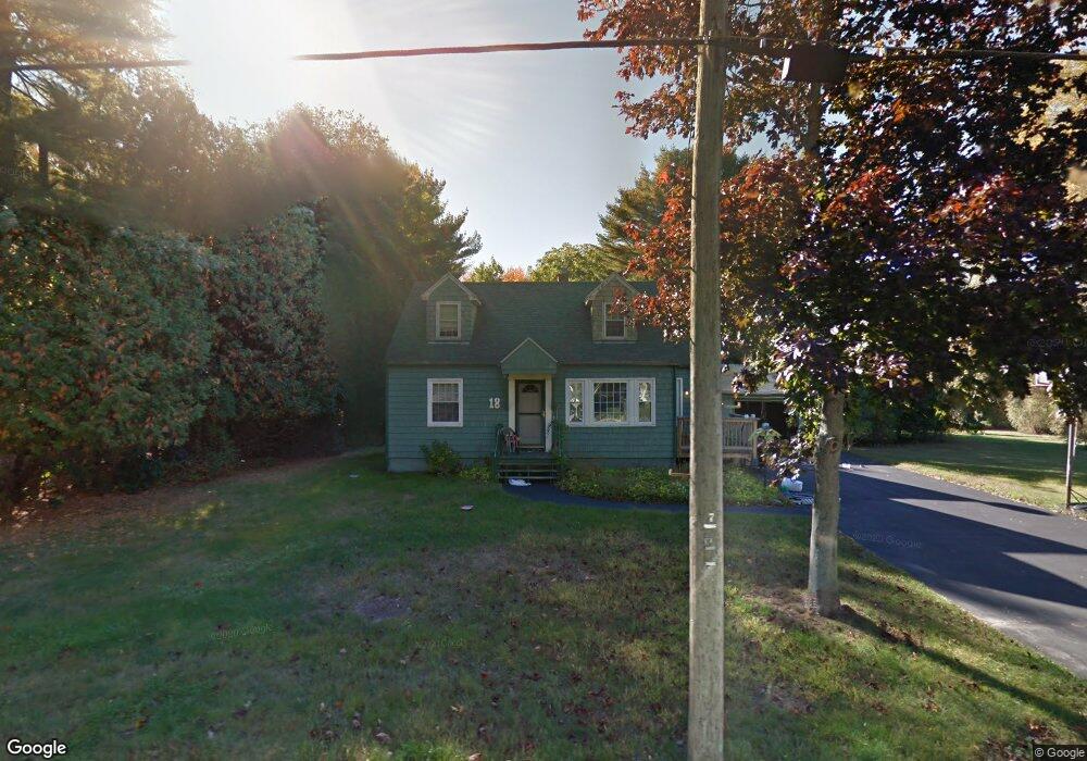
18 Maple Ave Scarborough, ME 04074
Estimated Value: $435,075 - $540,000
4
Beds
2
Baths
1,176
Sq Ft
$404/Sq Ft
Est. Value
About This Home
This home is located at 18 Maple Ave, Scarborough, ME 04074 and is currently estimated at $474,519, approximately $403 per square foot. 18 Maple Ave is a home with nearby schools including Scarborough High School, Greater Portland Christian School, and Cornerstone Baptist Academy.
Ownership History
Date
Name
Owned For
Owner Type
Purchase Details
Closed on
Feb 25, 2022
Sold by
Brown Lisa A
Bought by
Sanborn Charles E
Current Estimated Value
Home Financials for this Owner
Home Financials are based on the most recent Mortgage that was taken out on this home.
Original Mortgage
$220,000
Outstanding Balance
$204,675
Interest Rate
3.55%
Mortgage Type
Purchase Money Mortgage
Estimated Equity
$269,844
Purchase Details
Closed on
Dec 17, 2007
Sold by
Dowen Donald
Bought by
Sanborn Lisa A
Create a Home Valuation Report for This Property
The Home Valuation Report is an in-depth analysis detailing your home's value as well as a comparison with similar homes in the area
Home Values in the Area
Average Home Value in this Area
Purchase History
| Date | Buyer | Sale Price | Title Company |
|---|---|---|---|
| Sanborn Charles E | $275,000 | None Available | |
| Sanborn Lisa A | -- | -- |
Source: Public Records
Mortgage History
| Date | Status | Borrower | Loan Amount |
|---|---|---|---|
| Open | Sanborn Charles E | $220,000 | |
| Previous Owner | Sanborn Lisa A | $10,000 |
Source: Public Records
Tax History Compared to Growth
Tax History
| Year | Tax Paid | Tax Assessment Tax Assessment Total Assessment is a certain percentage of the fair market value that is determined by local assessors to be the total taxable value of land and additions on the property. | Land | Improvement |
|---|---|---|---|---|
| 2024 | $3,654 | $334,300 | $149,200 | $185,100 |
| 2023 | $3,799 | $237,900 | $106,200 | $131,700 |
| 2022 | $3,546 | $230,400 | $106,200 | $124,200 |
| 2021 | $3,461 | $230,400 | $106,200 | $124,200 |
| 2020 | $3,052 | $230,400 | $106,200 | $124,200 |
| 2019 | $3,387 | $230,400 | $106,200 | $124,200 |
| 2017 | $3,343 | $222,700 | $148,200 | $74,500 |
| 2016 | $3,545 | $222,700 | $148,200 | $74,500 |
| 2015 | $3,450 | $222,700 | $148,200 | $74,500 |
| 2014 | $3,212 | $222,700 | $148,200 | $74,500 |
| 2013 | -- | $222,700 | $148,200 | $74,500 |
Source: Public Records
Map
Nearby Homes
- 2 Owens Way
- 73 Maple Ave
- 10 Leighton Farm Rd
- 228 Deerwood St
- 245 Deerwood St
- 30 Stratton Rd Unit 30
- 29 Stratton Rd
- 1 Stratton Rd Unit 1
- 8 Overlook Dr Unit 7
- 1 Teal Point Dr Unit 1
- 14 Holbrook Farms Way Unit 1
- 22 Jameco Mill Rd
- 11 Westwood Ave
- 14 Herbert Dr
- 14 Oakdale Dr Unit 14
- 5 Traditional St
- 23 U S Route 1
- 11 Vista Dr
- 8 Ballantyne Dr
- 46 Pacer Way