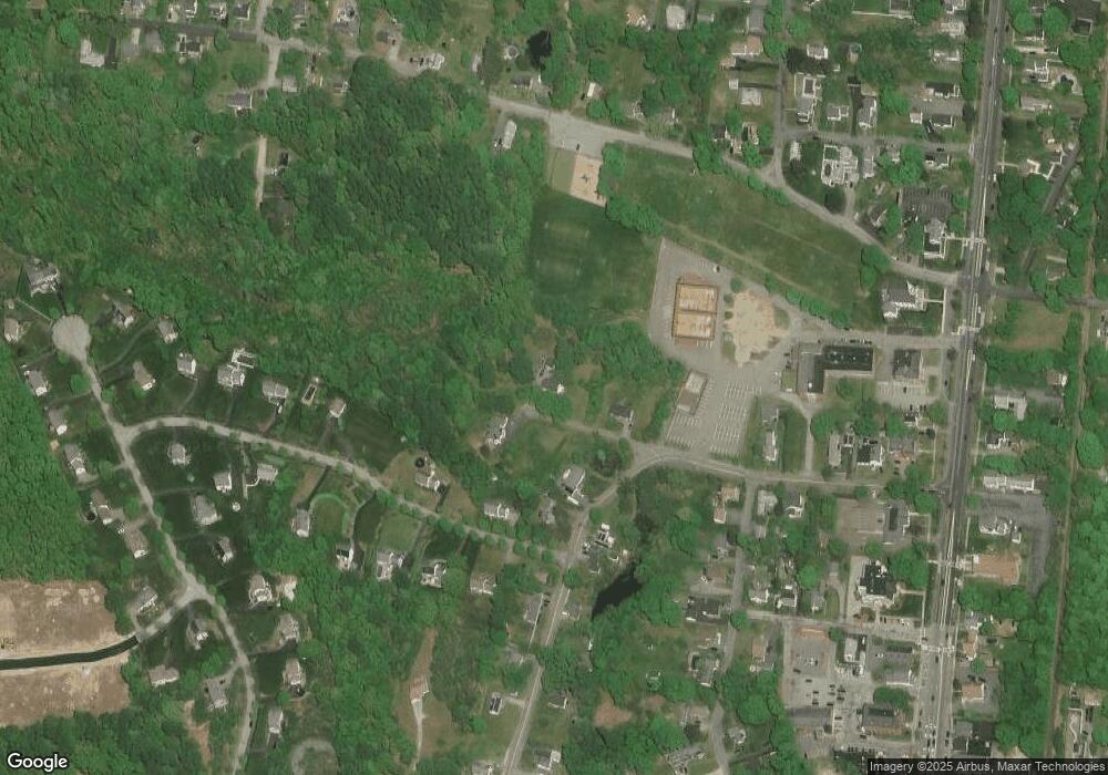
18 Maple Rd Oxford, MA 01540
Estimated Value: $285,000 - $502,000
1
Bed
1
Bath
952
Sq Ft
$399/Sq Ft
Est. Value
About This Home
This home is located at 18 Maple Rd, Oxford, MA 01540 and is currently estimated at $379,764, approximately $398 per square foot. 18 Maple Rd is a home located in Worcester County with nearby schools including Alfred M Chaffee, Oxford High School, and Clara Barton Elementary School.
Ownership History
Date
Name
Owned For
Owner Type
Purchase Details
Closed on
Sep 24, 2014
Sold by
Worster Anthony K and Worster Heather A
Bought by
Wegener Paul R and Gawlak Kerry A
Current Estimated Value
Home Financials for this Owner
Home Financials are based on the most recent Mortgage that was taken out on this home.
Original Mortgage
$177,551
Outstanding Balance
$135,826
Interest Rate
4.12%
Mortgage Type
New Conventional
Estimated Equity
$243,938
Purchase Details
Closed on
Mar 31, 2004
Sold by
Morin David E and Morin Donald P
Bought by
Worster Anthony K and Very Heather A
Home Financials for this Owner
Home Financials are based on the most recent Mortgage that was taken out on this home.
Original Mortgage
$143,920
Interest Rate
5.56%
Mortgage Type
Purchase Money Mortgage
Create a Home Valuation Report for This Property
The Home Valuation Report is an in-depth analysis detailing your home's value as well as a comparison with similar homes in the area
Home Values in the Area
Average Home Value in this Area
Purchase History
| Date | Buyer | Sale Price | Title Company |
|---|---|---|---|
| Wegener Paul R | $174,000 | -- | |
| Worster Anthony K | $179,900 | -- |
Source: Public Records
Mortgage History
| Date | Status | Borrower | Loan Amount |
|---|---|---|---|
| Open | Wegener Paul R | $177,551 | |
| Previous Owner | Worster Anthony K | $143,920 |
Source: Public Records
Tax History
| Year | Tax Paid | Tax Assessment Tax Assessment Total Assessment is a certain percentage of the fair market value that is determined by local assessors to be the total taxable value of land and additions on the property. | Land | Improvement |
|---|---|---|---|---|
| 2025 | $54 | $339,800 | $85,200 | $254,600 |
| 2024 | $4,021 | $298,300 | $79,100 | $219,200 |
| 2023 | $3,984 | $292,100 | $70,600 | $221,500 |
| 2022 | $3,820 | $236,400 | $63,600 | $172,800 |
| 2021 | $3,547 | $214,600 | $60,400 | $154,200 |
| 2020 | $3,420 | $205,300 | $60,400 | $144,900 |
| 2019 | $2,883 | $169,300 | $60,400 | $108,900 |
| 2018 | $2,736 | $158,400 | $60,400 | $98,000 |
| 2017 | $2,735 | $162,300 | $60,400 | $101,900 |
| 2016 | $2,748 | $162,300 | $60,400 | $101,900 |
| 2015 | $2,563 | $162,300 | $60,400 | $101,900 |
| 2014 | $2,469 | $164,600 | $60,400 | $104,200 |
Source: Public Records
Map
Nearby Homes
