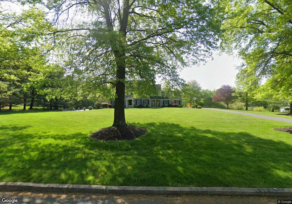
18 Michael Way Pennington, NJ 08534
Estimated Value: $998,129 - $1,273,000
--
Bed
--
Bath
3,239
Sq Ft
$359/Sq Ft
Est. Value
About This Home
This home is located at 18 Michael Way, Pennington, NJ 08534 and is currently estimated at $1,161,782, approximately $358 per square foot. 18 Michael Way is a home located in Mercer County with nearby schools including Hopewell Valley Central High School, Pennington Montessori School, and The Laurel School of Princeton.
Ownership History
Date
Name
Owned For
Owner Type
Purchase Details
Closed on
May 15, 2018
Sold by
Husami Ziyad I and Husami Carol A
Bought by
Kazior Steven Christopher and Kazior Jacqueline
Current Estimated Value
Home Financials for this Owner
Home Financials are based on the most recent Mortgage that was taken out on this home.
Original Mortgage
$544,000
Outstanding Balance
$468,402
Interest Rate
4.4%
Mortgage Type
New Conventional
Estimated Equity
$693,380
Purchase Details
Closed on
Jun 21, 1987
Bought by
Husami Ziyad and Husami Carol
Create a Home Valuation Report for This Property
The Home Valuation Report is an in-depth analysis detailing your home's value as well as a comparison with similar homes in the area
Home Values in the Area
Average Home Value in this Area
Purchase History
| Date | Buyer | Sale Price | Title Company |
|---|---|---|---|
| Kazior Steven Christopher | $700,000 | Foundation Title Llc | |
| Husami Ziyad | $331,500 | -- |
Source: Public Records
Mortgage History
| Date | Status | Borrower | Loan Amount |
|---|---|---|---|
| Open | Kazior Steven Christopher | $544,000 |
Source: Public Records
Tax History Compared to Growth
Tax History
| Year | Tax Paid | Tax Assessment Tax Assessment Total Assessment is a certain percentage of the fair market value that is determined by local assessors to be the total taxable value of land and additions on the property. | Land | Improvement |
|---|---|---|---|---|
| 2025 | $21,187 | $671,100 | $313,300 | $357,800 |
| 2024 | $20,509 | $671,100 | $313,300 | $357,800 |
| 2023 | $20,509 | $671,100 | $313,300 | $357,800 |
| 2022 | $20,086 | $671,100 | $313,300 | $357,800 |
| 2021 | $19,559 | $639,400 | $313,300 | $326,100 |
| 2020 | $19,086 | $639,400 | $313,300 | $326,100 |
| 2019 | $18,619 | $639,400 | $313,300 | $326,100 |
| 2018 | $18,274 | $639,400 | $313,300 | $326,100 |
| 2017 | $17,775 | $639,400 | $313,300 | $326,100 |
| 2016 | $18,265 | $695,000 | $368,900 | $326,100 |
| 2015 | $18,452 | $695,000 | $368,900 | $326,100 |
| 2014 | $18,070 | $695,000 | $368,900 | $326,100 |
Source: Public Records
Map
Nearby Homes
- 1 Michael Way
- 540 Scotch Rd
- 20 Hunters Ridge Dr
- 325 Sked St
- 6 Timberlane Dr
- 444 Sked St
- 118 Leona Stewart Ln
- 120 Leona Stewart Ln
- 0 Penn Titusville Rd Unit BLK 62.01. LOT 80.01
- 0 Penn Titusville Rd Unit BLK 62.01. LOT 80.02
- 117 Fred Clark Dr
- 116 Leona Stewart Ln
- 134 Leona Stewart Ln
- 138 Leona Stewart Ln
- 132 Leona Stewart Ln
- 136 Leona Stewart Ln
- 140 Leona Stewart Ln
- 126 Leona Stewart Ln
- 130 Leona Stewart Ln
- 5104 Mary Ashby Way