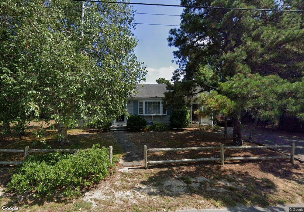
18 Michaels Ave Dennis Port, MA 02639
Dennis Port NeighborhoodEstimated Value: $547,000 - $626,000
3
Beds
1
Bath
1,034
Sq Ft
$569/Sq Ft
Est. Value
About This Home
This home is located at 18 Michaels Ave, Dennis Port, MA 02639 and is currently estimated at $588,178, approximately $568 per square foot. 18 Michaels Ave is a home located in Barnstable County with nearby schools including Dennis-Yarmouth Regional High School and St. Pius X. School.
Ownership History
Date
Name
Owned For
Owner Type
Purchase Details
Closed on
Oct 14, 2004
Sold by
Odea Gerald F and Odea Janet E
Bought by
Woolley Josephine
Current Estimated Value
Purchase Details
Closed on
Oct 3, 1997
Sold by
Keefe Eleanor W
Bought by
Odea Gerald F and Odea Janet E
Home Financials for this Owner
Home Financials are based on the most recent Mortgage that was taken out on this home.
Original Mortgage
$99,750
Interest Rate
7.41%
Mortgage Type
Purchase Money Mortgage
Create a Home Valuation Report for This Property
The Home Valuation Report is an in-depth analysis detailing your home's value as well as a comparison with similar homes in the area
Home Values in the Area
Average Home Value in this Area
Purchase History
| Date | Buyer | Sale Price | Title Company |
|---|---|---|---|
| Woolley Josephine | $319,900 | -- | |
| Odea Gerald F | $105,000 | -- |
Source: Public Records
Mortgage History
| Date | Status | Borrower | Loan Amount |
|---|---|---|---|
| Previous Owner | Odea Gerald F | $145,000 | |
| Previous Owner | Odea Gerald F | $99,750 |
Source: Public Records
Tax History Compared to Growth
Tax History
| Year | Tax Paid | Tax Assessment Tax Assessment Total Assessment is a certain percentage of the fair market value that is determined by local assessors to be the total taxable value of land and additions on the property. | Land | Improvement |
|---|---|---|---|---|
| 2025 | $2,228 | $514,500 | $205,700 | $308,800 |
| 2024 | $2,100 | $478,400 | $197,800 | $280,600 |
| 2023 | $2,031 | $434,900 | $179,800 | $255,100 |
| 2022 | $1,968 | $351,400 | $162,000 | $189,400 |
| 2021 | $2,038 | $338,000 | $181,500 | $156,500 |
| 2020 | $1,834 | $300,700 | $158,800 | $141,900 |
| 2019 | $1,739 | $281,800 | $155,700 | $126,100 |
| 2018 | $1,656 | $261,200 | $148,200 | $113,000 |
| 2017 | $2,963 | $254,700 | $137,600 | $117,100 |
| 2016 | $1,606 | $245,900 | $148,200 | $97,700 |
| 2015 | $1,574 | $245,900 | $148,200 | $97,700 |
| 2014 | $1,427 | $224,700 | $127,000 | $97,700 |
Source: Public Records
Map
Nearby Homes
- 19 Standish Way
- 80 Michaels Ave
- 71 Main St
- 12 Spoonbill Rd
- 4 Coffey Ln
- 125 Main St Unit 3
- 22 Wixon Rd
- 31 Easy St
- 15 Woodside Park Rd
- 72 Bassett Ln
- 268 Main St
- 95 Center St
- 26 Center St
- 61 Trotters Ln
- 37 Ocean Dr Unit 2
- 3 Pinefield Ln
- 64 Beaten Rd
- 112 Old Wharf Rd Unit E4
- 112 Old Wharf Rd Unit E1
- 154 Old Wharf Rd Unit 26