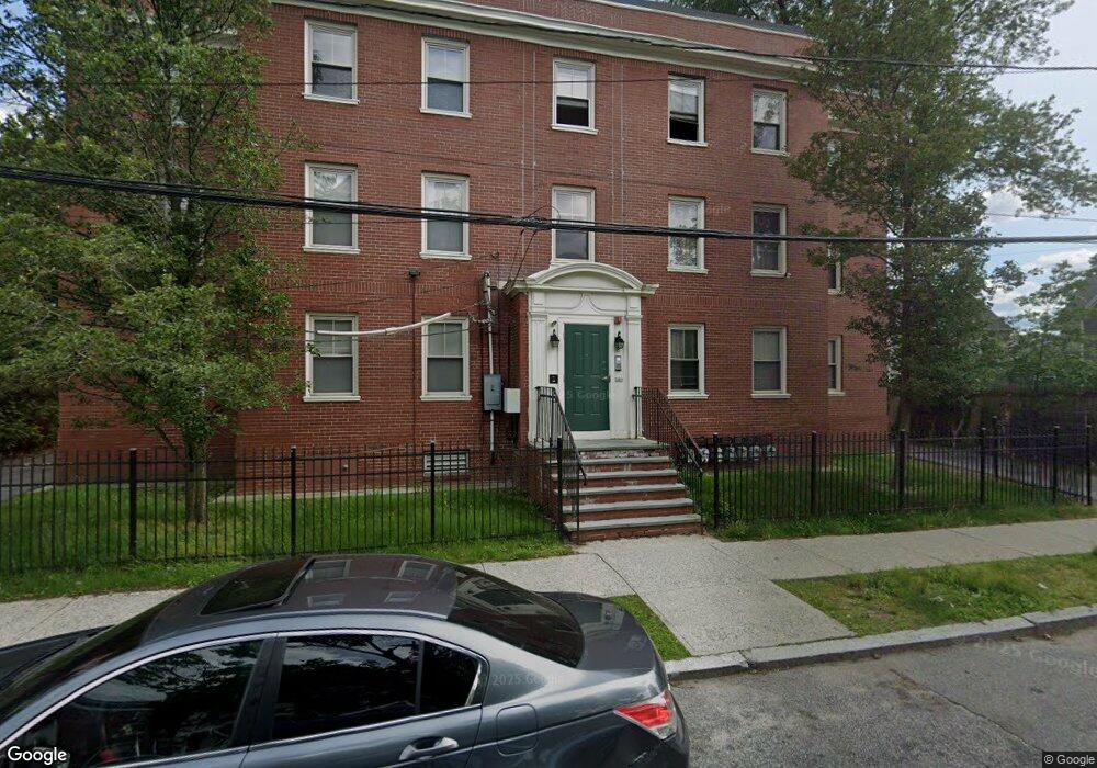
18 Mitchell St Providence, RI 02907
Elmwood NeighborhoodEstimated Value: $584,000 - $3,736,000
6
Beds
4
Baths
4,995
Sq Ft
$387/Sq Ft
Est. Value
About This Home
This home is located at 18 Mitchell St, Providence, RI 02907 and is currently estimated at $1,931,601, approximately $386 per square foot. 18 Mitchell St is a home located in Providence County with nearby schools including Highlander Charter School, Paul Cuffee High School, and Bishop Mcvinney Elementary School.
Ownership History
Date
Name
Owned For
Owner Type
Purchase Details
Closed on
Apr 30, 2020
Sold by
State Of Ri Hsng Resourcs
Bought by
King Street Commons Lp
Current Estimated Value
Home Financials for this Owner
Home Financials are based on the most recent Mortgage that was taken out on this home.
Original Mortgage
$2,000,000
Outstanding Balance
$1,764,496
Interest Rate
3.3%
Mortgage Type
Unknown
Estimated Equity
$167,105
Purchase Details
Closed on
Apr 29, 2020
Sold by
Elmwood Neighborhood
Bought by
King Street Commons Lp
Home Financials for this Owner
Home Financials are based on the most recent Mortgage that was taken out on this home.
Original Mortgage
$2,000,000
Outstanding Balance
$1,764,496
Interest Rate
3.3%
Mortgage Type
Unknown
Estimated Equity
$167,105
Purchase Details
Closed on
Dec 31, 1997
Sold by
Baskin Aron and Baskin Tsilya
Bought by
Elmwood Neighborhood
Create a Home Valuation Report for This Property
The Home Valuation Report is an in-depth analysis detailing your home's value as well as a comparison with similar homes in the area
Home Values in the Area
Average Home Value in this Area
Purchase History
| Date | Buyer | Sale Price | Title Company |
|---|---|---|---|
| King Street Commons Lp | -- | None Available | |
| King Street Commons Lp | -- | None Available | |
| Elmwood Neighborhood | $63,000 | -- |
Source: Public Records
Mortgage History
| Date | Status | Borrower | Loan Amount |
|---|---|---|---|
| Open | King Street Commons Lp | $2,000,000 | |
| Closed | King Street Commons Lp | $2,000,000 | |
| Open | King Street Commons Lp | $9,210,000 | |
| Closed | King Street Commons Lp | $9,210,000 | |
| Previous Owner | Elmwood Neighborhood | $225,127 |
Source: Public Records
Map
Nearby Homes
- 38 Mitchell St
- 296 Potters Ave
- 136 Houston St
- 8 Atlantic Ave
- 33 Adelaide Ave
- 171 Reynolds Ave
- 61 Stanwood St
- 131 Mitchell St
- 75 Sumter St
- 664 Public St
- 218 Hamilton St
- 462 Prairie Ave
- 183 Congress Ave
- 110 Gallup St
- 182 Adelaide Ave Unit 2
- 99 Colfax St
- 3 Mount Vernon St
- 14 Burnside St
- 24 Reynolds Ave
- 61 Whitmarsh St
- 821 Broad St
- 26 Mitchell St
- 11 Congress Ave
- 19 Congress Ave
- 839 Broad St
- 34 Mitchell St
- 37 Congress Ave Unit 2
- 37 Congress Ave Unit 1
- 20 Congress Ave
- 16 Congress Ave
- 824 Broad St
- 828 Broad St
- 826 Broad St
- 26 Congress Ave
- 91 Niagara St
- 808 Broad St
- 100 Niagara St
- 69 Niagara St
- 840 Broad St
- 41 Mitchell St
Your Personal Tour Guide
Ask me questions while you tour the home.