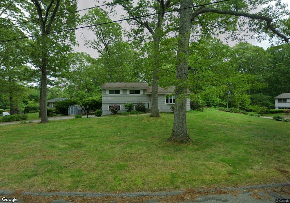
18 N Glenwoods Rd Gales Ferry, CT 06335
Estimated Value: $332,000 - $401,000
3
Beds
3
Baths
1,158
Sq Ft
$322/Sq Ft
Est. Value
About This Home
This home is located at 18 N Glenwoods Rd, Gales Ferry, CT 06335 and is currently estimated at $372,734, approximately $321 per square foot. 18 N Glenwoods Rd is a home located in New London County with nearby schools including Ledyard Middle School, Ledyard High School, and Integrated Day Charter School.
Ownership History
Date
Name
Owned For
Owner Type
Purchase Details
Closed on
Apr 24, 2000
Sold by
Derda Robert C
Bought by
Astuti Giuseppe and Astuti Michelle A
Current Estimated Value
Home Financials for this Owner
Home Financials are based on the most recent Mortgage that was taken out on this home.
Original Mortgage
$133,947
Interest Rate
8.21%
Purchase Details
Closed on
Nov 21, 1988
Sold by
Dinardo Gregory
Bought by
Derda Robert
Create a Home Valuation Report for This Property
The Home Valuation Report is an in-depth analysis detailing your home's value as well as a comparison with similar homes in the area
Home Values in the Area
Average Home Value in this Area
Purchase History
| Date | Buyer | Sale Price | Title Company |
|---|---|---|---|
| Astuti Giuseppe | $139,000 | -- | |
| Derda Robert | $149,900 | -- |
Source: Public Records
Mortgage History
| Date | Status | Borrower | Loan Amount |
|---|---|---|---|
| Open | Derda Robert | $156,042 | |
| Closed | Derda Robert | $30,000 | |
| Closed | Derda Robert | $150,000 | |
| Closed | Derda Robert | $133,947 |
Source: Public Records
Tax History Compared to Growth
Tax History
| Year | Tax Paid | Tax Assessment Tax Assessment Total Assessment is a certain percentage of the fair market value that is determined by local assessors to be the total taxable value of land and additions on the property. | Land | Improvement |
|---|---|---|---|---|
| 2025 | $4,864 | $130,970 | $46,340 | $84,630 |
| 2024 | $4,599 | $130,620 | $46,340 | $84,280 |
| 2023 | $4,514 | $130,620 | $46,340 | $84,280 |
| 2022 | $4,418 | $130,620 | $46,340 | $84,280 |
| 2021 | $4,389 | $130,620 | $46,340 | $84,280 |
| 2020 | $4,440 | $126,980 | $48,510 | $78,470 |
| 2019 | $4,452 | $126,980 | $48,510 | $78,470 |
| 2018 | $4,354 | $126,980 | $48,510 | $78,470 |
| 2017 | $4,132 | $126,980 | $48,510 | $78,470 |
| 2016 | $4,051 | $126,980 | $48,510 | $78,470 |
| 2015 | $3,860 | $126,980 | $48,510 | $78,470 |
| 2014 | $3,952 | $132,160 | $48,510 | $83,650 |
Source: Public Records
Map
Nearby Homes
- 28 N Glenwoods Rd
- 5 Bittersweet Dr
- 18 Stonybrook Rd
- 44 Overlook Rd
- 145 Massapeag Side Rd
- 16 Marlene Dr
- 3 Holdsworth Rd
- 0 Clarks Falls Unit 24089817
- 154 Stoddards Wharf Rd
- 38 Avery Hill Road Extension
- 17B Massapeag Point Rd
- 11 Stone Ct
- 3 Kerrie Ct
- 8 Tanglewood Dr
- 9 Sunset Ave
- 11 Queen Eleanor Dr
- 150 Park Avenue Extension
- 3 Johnnie Ct
- 24 Queen Eleanor Dr
- 178 Route 2a
- 20 N Glenwoods Rd
- 7 Forest Ln
- 2 Forest Ln
- 22 N Glenwoods Rd
- 17 N Glenwoods Rd
- 15 N Glenwoods Rd
- 21 N Glenwoods Rd
- 9 Forest Ln
- 11 N Glenwoods Rd
- 8 Forest Ln
- 22 Brewster Dr
- 13 Forest Ln
- 34 Brewster Dr
- 6 Brewster Dr
- 18 Brewster Dr
- 26 N Glenwoods Rd
- 8 N Glenwoods Rd
- 26 Brewster Dr
- 5 Brewster Dr
- 30 Brewster Dr