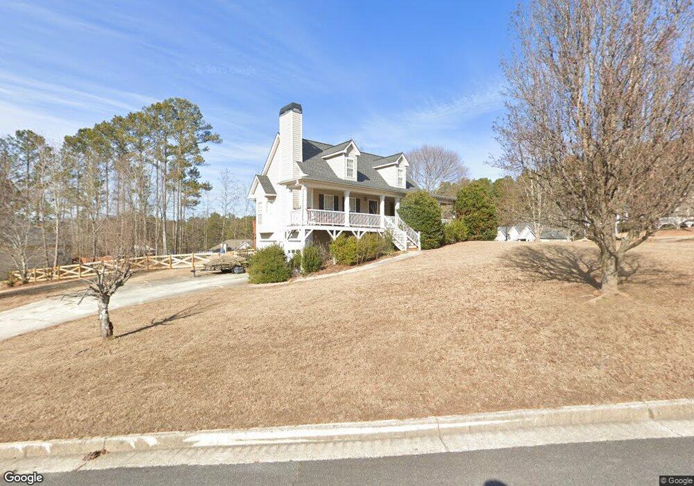
18 Newport Ln Dallas, GA 30132
Cedarcrest NeighborhoodEstimated Value: $345,280 - $358,000
3
Beds
3
Baths
1,584
Sq Ft
$222/Sq Ft
Est. Value
About This Home
This home is located at 18 Newport Ln, Dallas, GA 30132 and is currently estimated at $351,570, approximately $221 per square foot. 18 Newport Ln is a home located in Paulding County with nearby schools including W.C. Abney Elementary School, Lena Mae Moses Middle School, and North Paulding High School.
Ownership History
Date
Name
Owned For
Owner Type
Purchase Details
Closed on
Dec 30, 2005
Sold by
Strickland Scotty
Bought by
Rogers Dana
Current Estimated Value
Home Financials for this Owner
Home Financials are based on the most recent Mortgage that was taken out on this home.
Original Mortgage
$176,600
Outstanding Balance
$98,792
Interest Rate
6.19%
Mortgage Type
FHA
Estimated Equity
$252,778
Create a Home Valuation Report for This Property
The Home Valuation Report is an in-depth analysis detailing your home's value as well as a comparison with similar homes in the area
Home Values in the Area
Average Home Value in this Area
Purchase History
| Date | Buyer | Sale Price | Title Company |
|---|---|---|---|
| Rogers Dana | $178,400 | -- |
Source: Public Records
Mortgage History
| Date | Status | Borrower | Loan Amount |
|---|---|---|---|
| Open | Rogers Dana | $176,600 |
Source: Public Records
Tax History Compared to Growth
Tax History
| Year | Tax Paid | Tax Assessment Tax Assessment Total Assessment is a certain percentage of the fair market value that is determined by local assessors to be the total taxable value of land and additions on the property. | Land | Improvement |
|---|---|---|---|---|
| 2024 | $3,210 | $132,280 | $12,000 | $120,280 |
| 2023 | $3,373 | $131,892 | $12,000 | $119,892 |
| 2022 | $2,796 | $109,136 | $12,000 | $97,136 |
| 2021 | $2,655 | $93,224 | $12,000 | $81,224 |
| 2020 | $2,379 | $81,960 | $12,000 | $69,960 |
| 2019 | $2,356 | $80,040 | $12,000 | $68,040 |
| 2018 | $1,991 | $67,960 | $10,000 | $57,960 |
| 2017 | $2,020 | $68,000 | $10,000 | $58,000 |
| 2016 | $1,814 | $61,840 | $10,000 | $51,840 |
| 2015 | $1,554 | $52,360 | $10,000 | $42,360 |
| 2014 | $1,718 | $56,280 | $10,000 | $46,280 |
| 2013 | -- | $50,400 | $10,000 | $40,400 |
Source: Public Records
Map
Nearby Homes
- 0 Newport Ln Unit 8621502
- 0 Newport Ln Unit 8012792
- 141 Harborside Dr
- 44 Newport Ln Unit 21
- 44 Newport Ln
- 11 Newport Ln
- 102 Harborside Dr
- 31 Newport Ln
- 82 Harborside Dr
- 181 Harborside Dr
- 48 Newport Ln
- 122 Harborside Dr
- 201 Harborside Dr
- 51 Newport Ln
- 56 Harborside Dr Unit 36
- 56 Harborside Dr
- 136 Harborside Dr
- 43 Newport Ln
- 219 Harborside Dr
- 178 Harborside Dr