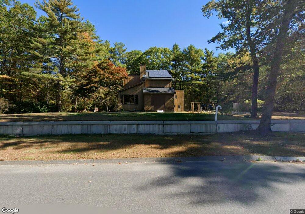
18 Newton Rd Westminster, MA 01473
Estimated Value: $681,000 - $866,000
4
Beds
4
Baths
3,296
Sq Ft
$230/Sq Ft
Est. Value
About This Home
This home is located at 18 Newton Rd, Westminster, MA 01473 and is currently estimated at $759,642, approximately $230 per square foot. 18 Newton Rd is a home located in Worcester County with nearby schools including Oakmont Regional High School.
Ownership History
Date
Name
Owned For
Owner Type
Purchase Details
Closed on
Jun 20, 2018
Sold by
Leger Donald R and Leger Jessica S
Bought by
Westhub Rt
Current Estimated Value
Purchase Details
Closed on
Jun 12, 1975
Bought by
Leger Donald R and Leger Jessica S
Create a Home Valuation Report for This Property
The Home Valuation Report is an in-depth analysis detailing your home's value as well as a comparison with similar homes in the area
Home Values in the Area
Average Home Value in this Area
Purchase History
| Date | Buyer | Sale Price | Title Company |
|---|---|---|---|
| Westhub Rt | -- | -- | |
| Leger Donald R | -- | -- |
Source: Public Records
Mortgage History
| Date | Status | Borrower | Loan Amount |
|---|---|---|---|
| Previous Owner | Leger Donald R | $245,000 | |
| Previous Owner | Leger Donald R | $90,000 | |
| Previous Owner | Leger Donald R | $73,200 |
Source: Public Records
Tax History
| Year | Tax Paid | Tax Assessment Tax Assessment Total Assessment is a certain percentage of the fair market value that is determined by local assessors to be the total taxable value of land and additions on the property. | Land | Improvement |
|---|---|---|---|---|
| 2025 | $8,166 | $663,900 | $146,900 | $517,000 |
| 2024 | $7,754 | $632,500 | $146,900 | $485,600 |
| 2023 | $8,059 | $617,100 | $137,300 | $479,800 |
| 2022 | $8,415 | $532,600 | $122,500 | $410,100 |
| 2021 | $8,429 | $502,900 | $108,700 | $394,200 |
| 2020 | $8,241 | $469,600 | $100,100 | $369,500 |
| 2019 | $8,286 | $454,000 | $84,500 | $369,500 |
| 2018 | $8,329 | $449,000 | $84,500 | $364,500 |
| 2017 | $8,011 | $440,400 | $84,500 | $355,900 |
| 2016 | $8,205 | $436,900 | $72,400 | $364,500 |
| 2015 | $8,357 | $441,000 | $72,400 | $368,600 |
| 2014 | $8,370 | $441,000 | $72,400 | $368,600 |
Source: Public Records
Map
Nearby Homes
- 11 Lighthouse Ln
- 0 Minott Rd
- 8 Park St
- 37 Madison Way Unit 37
- 9 Knower Rd
- Lot 6 Shady Ave
- 61 Shady Ave
- Lot 3 Sunset Rd
- Lot 5 Sunset Rd
- 25 Sunset Rd
- 6 Plum Tree Ln
- 14 Chicopee Dr
- 17 Leominster St
- 2 Seaver St
- 14 Travers St
- 126 Dyer St
- 23 Hager Park Rd
- 51 Olde Colonial Dr Unit 1
- 0 Warwick Rd
- 13 Stephanie Dr
- 16 Newton Rd
- 22 Newton Rd
- Lot B Newton Rd
- 10 Newton Rd
- 15 Newton Rd
- 24 Newton Rd
- 3 Lighthouse Ln
- 3 Lighthouse Ln
- 3 Lighthouse Ln
- 5 Mark Newton Rd
- 5 Mark Newton Rd Unit L
- 5 Lighthouse Ln
- 5 Lighthouse Ln
- 5 Lighthouse Ln
- Lot A Mark Newton Rd
- Lot B Mark Newton Rd
- 26 Newton Rd
- 1 Mark Newton Rd
- 1 Mark Newton Rd
- 9 Newton Rd
Your Personal Tour Guide
Ask me questions while you tour the home.