18 Nichols Rd Naugatuck, CT 06770
Estimated Value: $486,000 - $571,000
3
Beds
2
Baths
2,114
Sq Ft
$249/Sq Ft
Est. Value
About This Home
This home is located at 18 Nichols Rd, Naugatuck, CT 06770 and is currently estimated at $525,487, approximately $248 per square foot. 18 Nichols Rd is a home located in New Haven County with nearby schools including City Hill Middle School and Naugatuck High School.
Ownership History
Date
Name
Owned For
Owner Type
Purchase Details
Closed on
Jul 8, 2025
Sold by
Edna N Clark Lt and Clark
Bought by
Kimberly C Clark Lt and Clark
Current Estimated Value
Purchase Details
Closed on
Apr 5, 2002
Sold by
Nichols Way Llc
Bought by
Clark Jerry and Clark Edna
Create a Home Valuation Report for This Property
The Home Valuation Report is an in-depth analysis detailing your home's value as well as a comparison with similar homes in the area
Home Values in the Area
Average Home Value in this Area
Purchase History
| Date | Buyer | Sale Price | Title Company |
|---|---|---|---|
| Kimberly C Clark Lt | -- | -- | |
| Kimberly C Clark Lt | -- | -- | |
| Clark Jerry | $75,000 | -- | |
| Clark Jerry | $75,000 | -- |
Source: Public Records
Mortgage History
| Date | Status | Borrower | Loan Amount |
|---|---|---|---|
| Previous Owner | Clark Jerry | $132,000 | |
| Previous Owner | Clark Jerry | $25,000 |
Source: Public Records
Tax History Compared to Growth
Tax History
| Year | Tax Paid | Tax Assessment Tax Assessment Total Assessment is a certain percentage of the fair market value that is determined by local assessors to be the total taxable value of land and additions on the property. | Land | Improvement |
|---|---|---|---|---|
| 2025 | $11,364 | $285,600 | $45,850 | $239,750 |
| 2024 | $11,935 | $285,600 | $45,850 | $239,750 |
| 2023 | $12,781 | $285,600 | $45,850 | $239,750 |
| 2022 | $9,324 | $195,260 | $48,180 | $147,080 |
| 2021 | $9,324 | $195,260 | $48,180 | $147,080 |
| 2020 | $9,324 | $195,260 | $48,180 | $147,080 |
| 2019 | $9,226 | $195,260 | $48,180 | $147,080 |
| 2018 | $9,068 | $187,540 | $66,590 | $120,950 |
| 2017 | $9,105 | $187,540 | $66,590 | $120,950 |
| 2016 | $8,940 | $187,540 | $66,590 | $120,950 |
| 2015 | $8,546 | $187,540 | $66,590 | $120,950 |
| 2014 | $8,451 | $187,540 | $66,590 | $120,950 |
| 2012 | $8,738 | $260,450 | $72,900 | $187,550 |
Source: Public Records
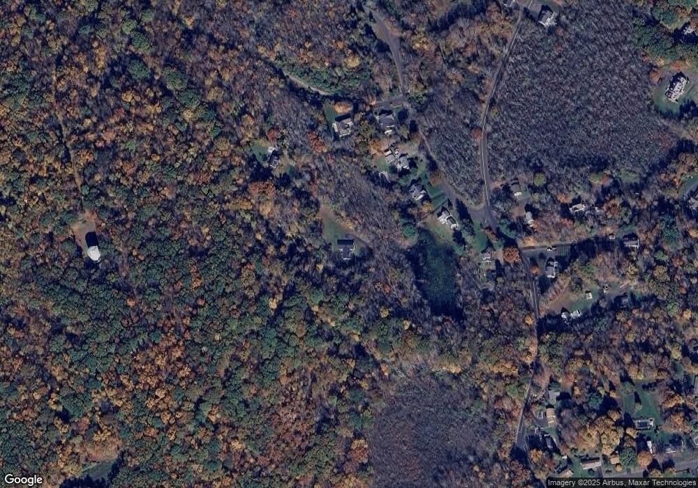
Map
Nearby Homes
- 117 Stonefence Rd
- 243 Stonefence Rd
- 31 Pilgrim Ln
- 151 Timothy Rd
- 0 Evelyn Dr Unit 24124911
- 587 Shadduck Rd
- 75 Allerton Rd
- 96 Round Hill Rd
- 0 Westover Dr
- 35 Crofut Rd
- 146 Coach Cir Unit 5
- 383 Leonard Rd
- 65 Round Tree Dr Unit 5
- 101 Ridge Rd Unit 5
- 627 Millville Ave Unit 9-8
- 48 Round Tree Dr Unit 5
- 40 Ridge Rd Unit 3
- 92 Birch Ln
- 49 Damson Ln
- 53 Mill St
- 22 Nichols Rd
- 16 Nichols Rd
- 76 Nichols Rd
- 06770 Evelyn Dr
- 88 Nichols Rd
- 78 Nichols Rd
- 362 Allerton Farms Rd
- 84 Nichols Rd
- 379 Allerton Farms Rd
- 387 Allerton Rd
- 356 Allerton Rd
- 356 Allerton Rd
- 375 Allerton Rd
- 375 Allerton Rd
- 325 Allerton Rd
- 319 Allerton Rd
- 319 Allerton Rd
- 341 Allerton Rd
- 361 Allerton Rd
- 426 Jones Rd