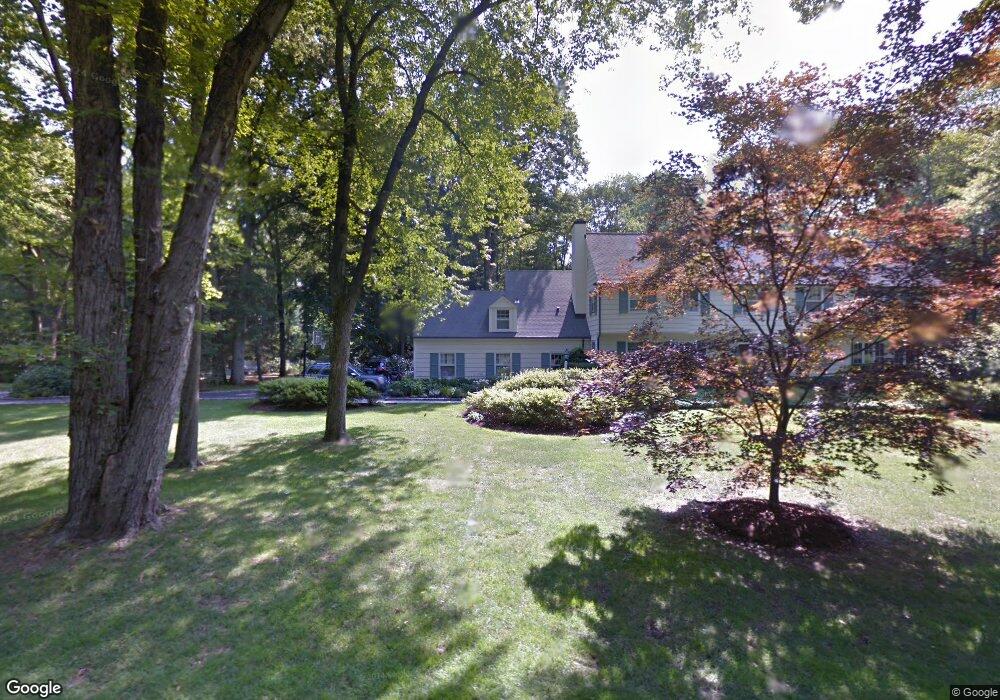
18 Nolen Ln Darien, CT 06820
Estimated Value: $4,136,000 - $5,056,000
6
Beds
6
Baths
6,260
Sq Ft
$728/Sq Ft
Est. Value
About This Home
This home is located at 18 Nolen Ln, Darien, CT 06820 and is currently estimated at $4,558,413, approximately $728 per square foot. 18 Nolen Ln is a home located in Fairfield County with nearby schools including Ox Ridge Elementary School, Middlesex Middle School, and Darien High School.
Ownership History
Date
Name
Owned For
Owner Type
Purchase Details
Closed on
May 16, 1997
Sold by
Gauss Tr Calvin J
Bought by
Traver Douglas and Traver Jean P
Current Estimated Value
Home Financials for this Owner
Home Financials are based on the most recent Mortgage that was taken out on this home.
Original Mortgage
$1,000,000
Outstanding Balance
$129,667
Interest Rate
7.38%
Mortgage Type
Unknown
Estimated Equity
$4,428,746
Create a Home Valuation Report for This Property
The Home Valuation Report is an in-depth analysis detailing your home's value as well as a comparison with similar homes in the area
Home Values in the Area
Average Home Value in this Area
Purchase History
| Date | Buyer | Sale Price | Title Company |
|---|---|---|---|
| Traver Douglas | $1,525,000 | -- |
Source: Public Records
Mortgage History
| Date | Status | Borrower | Loan Amount |
|---|---|---|---|
| Open | Traver Douglas | $1,000,000 | |
| Previous Owner | Traver Douglas | $257,000 | |
| Previous Owner | Traver Douglas | $256,000 |
Source: Public Records
Tax History Compared to Growth
Tax History
| Year | Tax Paid | Tax Assessment Tax Assessment Total Assessment is a certain percentage of the fair market value that is determined by local assessors to be the total taxable value of land and additions on the property. | Land | Improvement |
|---|---|---|---|---|
| 2025 | $40,948 | $2,645,230 | $999,600 | $1,645,630 |
| 2024 | $38,858 | $2,645,230 | $999,600 | $1,645,630 |
| 2023 | $35,618 | $2,022,580 | $833,000 | $1,189,580 |
| 2022 | $34,849 | $2,022,580 | $833,000 | $1,189,580 |
| 2021 | $34,060 | $2,022,580 | $833,000 | $1,189,580 |
| 2020 | $33,089 | $2,022,580 | $833,000 | $1,189,580 |
| 2019 | $33,312 | $2,022,580 | $833,000 | $1,189,580 |
| 2018 | $35,127 | $2,184,490 | $714,000 | $1,470,490 |
| 2017 | $35,301 | $2,184,490 | $714,000 | $1,470,490 |
| 2016 | $34,449 | $2,184,490 | $714,000 | $1,470,490 |
| 2015 | $33,532 | $2,184,490 | $714,000 | $1,470,490 |
| 2014 | $32,789 | $2,184,490 | $714,000 | $1,470,490 |
Source: Public Records
Map
Nearby Homes
- 11 Old Oak Rd
- 41 Wakemore St
- 32 Kensett Ln Unit 32
- 72 Kensett Ln
- 910 Hope St Unit 5B
- 900 Hope St Unit 8C
- 16 Columbus Place
- 970 Hope St Unit 4J
- 76 Deepwood Rd
- 825 Hope St Unit 4
- 95 Columbus Place Unit 6
- 358 Hoyt St
- 17 Oenoke Place
- 23 Oenoke Place
- 30 Lake Dr
- 31 Chatfield St
- 1157 Hope St
- 261 Hollow Tree Ridge Rd
- 1148 Hope St
- 19 Woodway Rd Unit 14