18 Oceanview Terrace South Thomaston, ME 04858
Estimated Value: $1,412,000 - $1,912,905
3
Beds
3
Baths
3,232
Sq Ft
$514/Sq Ft
Est. Value
About This Home
This home is located at 18 Oceanview Terrace, South Thomaston, ME 04858 and is currently estimated at $1,662,453, approximately $514 per square foot. 18 Oceanview Terrace is a home located in Knox County with nearby schools including Gilford Butler School, Owls Head Central School, and Oceanside High School East.
Ownership History
Date
Name
Owned For
Owner Type
Purchase Details
Closed on
Jan 29, 2021
Sold by
Bonenfant John C and Bonenfant Nancy
Bought by
Choyt Brad and Choyt Charlotte
Current Estimated Value
Home Financials for this Owner
Home Financials are based on the most recent Mortgage that was taken out on this home.
Original Mortgage
$700,000
Outstanding Balance
$643,811
Interest Rate
4.5%
Mortgage Type
Adjustable Rate Mortgage/ARM
Estimated Equity
$1,018,642
Purchase Details
Closed on
Sep 25, 2008
Sold by
Bailey Robert W and Bailey Rita C
Bought by
Bonenfant John C and Bonenfant Nancy
Create a Home Valuation Report for This Property
The Home Valuation Report is an in-depth analysis detailing your home's value as well as a comparison with similar homes in the area
Home Values in the Area
Average Home Value in this Area
Purchase History
| Date | Buyer | Sale Price | Title Company |
|---|---|---|---|
| Choyt Brad | -- | None Available | |
| Bonenfant John C | -- | -- |
Source: Public Records
Mortgage History
| Date | Status | Borrower | Loan Amount |
|---|---|---|---|
| Open | Choyt Brad | $700,000 |
Source: Public Records
Tax History Compared to Growth
Tax History
| Year | Tax Paid | Tax Assessment Tax Assessment Total Assessment is a certain percentage of the fair market value that is determined by local assessors to be the total taxable value of land and additions on the property. | Land | Improvement |
|---|---|---|---|---|
| 2024 | $19,841 | $1,526,200 | $774,800 | $751,400 |
| 2023 | $18,951 | $1,271,900 | $645,700 | $626,200 |
| 2022 | $17,862 | $1,106,000 | $561,500 | $544,500 |
| 2021 | $26,046 | $1,106,000 | $561,500 | $544,500 |
| 2019 | $15,484 | $1,106,000 | $561,500 | $544,500 |
| 2018 | $14,854 | $1,106,000 | $561,500 | $544,500 |
| 2017 | $14,577 | $1,106,000 | $561,500 | $544,500 |
| 2016 | $14,577 | $1,106,000 | $561,500 | $544,500 |
| 2015 | $14,135 | $1,106,000 | $561,500 | $544,500 |
| 2014 | $13,781 | $1,106,000 | $561,500 | $544,500 |
Source: Public Records
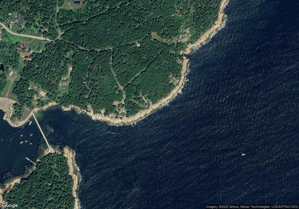
Map
Nearby Homes
- 8 Powder House Cove Rd
- 85 Patten Point Rd
- 527 Island Ave
- 683 Spruce Head Rd
- 169 Island Ave
- 391 Waterman Beach Rd
- 00 Cline Rd
- 531 Spruce Head Rd
- Lot 55 Calf Island
- 22 Sawblade Rd
- M5L13-3 Lot Unit WP001
- M5L13-3 Spruce Head Rd
- 93 Waterman Beach Rd
- 17 Spring St
- Lot 1 Birch Point Ln Unit 1
- 156 Scraggle Point Rd
- 133 Scraggle Point Rd
- 27 Rein Rd
- 0 Maker Cove Rd
- 260 Clark Island Rd
- 18 Ocean View Terrace
- 18 Oceanview Terrace
- 0 Ocean View Terrace
- 17 Headlands Dr
- 35 Headlands Dr
- 51 Rockledge Rd
- 58 Headlands Dr
- 54 Headlands Dr
- 21 Maker Dr
- 84 Rockledge Rd
- S/S Rockledge Rd
- 332 Island Rd
- 555 Island Rd
- 329 Island Rd
- 9 Merchants Landing Rd
- 41 Rockledge Rd
- 333 Island Rd
- 10 Maker Dr
- 306 Island Rd
- 34 Rockledge Rd