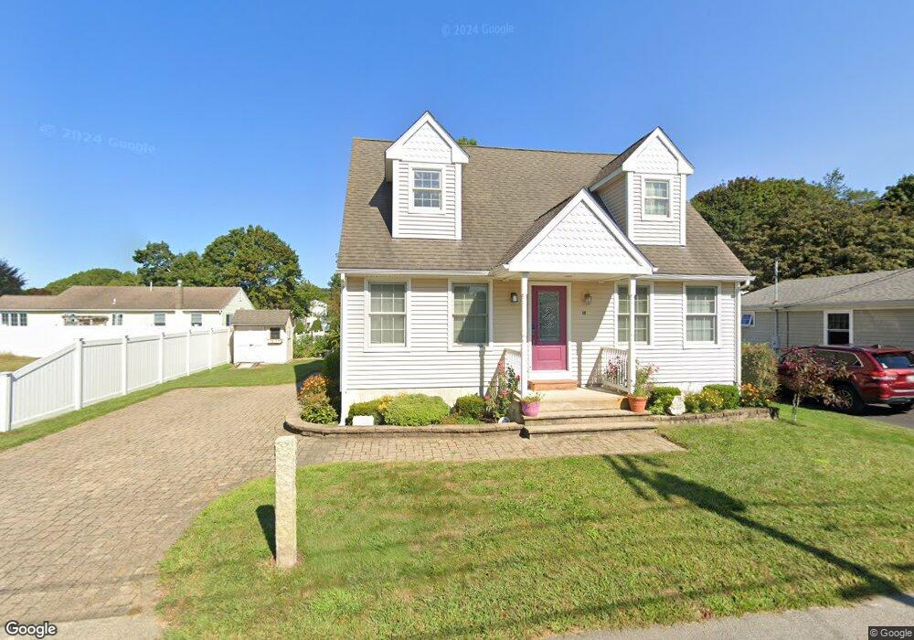
18 Perigee Ln Westbrook, CT 06498
Estimated Value: $650,835 - $968,000
2
Beds
2
Baths
1,523
Sq Ft
$494/Sq Ft
Est. Value
About This Home
This home is located at 18 Perigee Ln, Westbrook, CT 06498 and is currently estimated at $751,709, approximately $493 per square foot. 18 Perigee Ln is a home located in Middlesex County with nearby schools including Daisy Ingraham School, Westbrook Middle School, and Westbrook High School.
Ownership History
Date
Name
Owned For
Owner Type
Purchase Details
Closed on
Oct 18, 2023
Sold by
Larocca
Bought by
Teresina Larocca T and Teresina Larocca
Current Estimated Value
Purchase Details
Closed on
Aug 4, 1995
Sold by
Anastasia Daisy E Est and Anastasia
Bought by
Alaimo Matthew J and Alaimo Teresa E
Home Financials for this Owner
Home Financials are based on the most recent Mortgage that was taken out on this home.
Original Mortgage
$78,800
Interest Rate
7.48%
Mortgage Type
Purchase Money Mortgage
Create a Home Valuation Report for This Property
The Home Valuation Report is an in-depth analysis detailing your home's value as well as a comparison with similar homes in the area
Home Values in the Area
Average Home Value in this Area
Purchase History
| Date | Buyer | Sale Price | Title Company |
|---|---|---|---|
| Teresina Larocca T | -- | None Available | |
| Alaimo Matthew J | $98,500 | -- |
Source: Public Records
Mortgage History
| Date | Status | Borrower | Loan Amount |
|---|---|---|---|
| Previous Owner | Alaimo Matthew J | $78,800 |
Source: Public Records
Tax History
| Year | Tax Paid | Tax Assessment Tax Assessment Total Assessment is a certain percentage of the fair market value that is determined by local assessors to be the total taxable value of land and additions on the property. | Land | Improvement |
|---|---|---|---|---|
| 2025 | $6,463 | $287,260 | $166,320 | $120,940 |
| 2024 | $6,234 | $287,260 | $166,320 | $120,940 |
| 2023 | $6,124 | $287,260 | $166,320 | $120,940 |
| 2022 | $5,964 | $287,260 | $166,320 | $120,940 |
| 2021 | $5,525 | $220,980 | $100,800 | $120,180 |
| 2020 | $5,525 | $220,980 | $100,800 | $120,180 |
| 2019 | $5,452 | $220,980 | $100,800 | $120,180 |
| 2018 | $5,385 | $220,980 | $100,800 | $120,180 |
| 2017 | $5,385 | $220,980 | $100,800 | $120,180 |
| 2016 | $4,581 | $197,990 | $68,040 | $129,950 |
| 2015 | $4,457 | $197,990 | $68,040 | $129,950 |
| 2014 | $4,314 | $197,990 | $68,040 | $129,950 |
Source: Public Records
Map
Nearby Homes
- 166 Fiske Ln
- 328 Hammock Rd N
- 41 Trolley Rd
- 1020 Old Clinton Rd
- 0 Boston Post Rd Unit 24080344
- 29 Salt Island Rd
- 951 Old Clinton Rd Unit 15
- 40 Hammock Rd S
- 11a/11b Pond Circle Rd
- 87 McVeagh Rd
- 1 Spencer Plains Rd
- 86 Grove Beach Rd N
- 8 Cook Terrace
- 14 Chestnut Dr
- 407 Grove Beach Rd N
- 10 Winterberry Cir
- 37 Nolin Rd
- 5 Robin Ln
- 1780 Boston Post Rd
- 40 Beach Rd