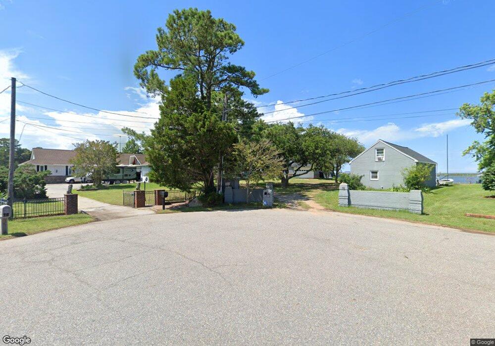
18 Phillips Rd Poquoson, VA 23662
Poquoson Shores NeighborhoodEstimated Value: $940,000 - $1,733,000
3
Beds
3
Baths
6,929
Sq Ft
$190/Sq Ft
Est. Value
About This Home
This home is located at 18 Phillips Rd, Poquoson, VA 23662 and is currently estimated at $1,318,997, approximately $190 per square foot. 18 Phillips Rd is a home located in Poquoson City with nearby schools including Summit Christian Academy - Upper School.
Ownership History
Date
Name
Owned For
Owner Type
Purchase Details
Closed on
Jun 14, 2010
Sold by
Michel Janie C
Bought by
Farrell Terrance H
Current Estimated Value
Home Financials for this Owner
Home Financials are based on the most recent Mortgage that was taken out on this home.
Original Mortgage
$350,000
Outstanding Balance
$231,467
Interest Rate
4.78%
Mortgage Type
New Conventional
Estimated Equity
$1,087,530
Create a Home Valuation Report for This Property
The Home Valuation Report is an in-depth analysis detailing your home's value as well as a comparison with similar homes in the area
Home Values in the Area
Average Home Value in this Area
Purchase History
| Date | Buyer | Sale Price | Title Company |
|---|---|---|---|
| Farrell Terrance H | $640,000 | -- |
Source: Public Records
Mortgage History
| Date | Status | Borrower | Loan Amount |
|---|---|---|---|
| Open | Farrell Terrance H | $350,000 |
Source: Public Records
Tax History
| Year | Tax Paid | Tax Assessment Tax Assessment Total Assessment is a certain percentage of the fair market value that is determined by local assessors to be the total taxable value of land and additions on the property. | Land | Improvement |
|---|---|---|---|---|
| 2025 | $14,146 | $1,240,900 | $324,000 | $916,900 |
| 2024 | $12,482 | $1,094,900 | $309,900 | $785,000 |
| 2023 | $12,153 | $1,094,900 | $309,900 | $785,000 |
| 2022 | $10,665 | $943,800 | $309,900 | $633,900 |
| 2021 | $10,665 | $943,800 | $309,900 | $633,900 |
| 2020 | -- | $885,100 | $309,900 | $575,200 |
| 2019 | -- | $685,600 | $309,900 | $375,700 |
| 2018 | -- | $625,000 | $309,900 | $315,100 |
| 2017 | -- | $595,200 | $309,900 | $285,300 |
| 2016 | -- | $595,200 | $309,900 | $285,300 |
| 2015 | -- | $569,500 | $309,900 | $259,600 |
| 2013 | -- | $569,500 | $309,900 | $259,600 |
Source: Public Records
Map
Nearby Homes
- 1 Phillips Rd
- 15+AC Browns Neck Rd
- 28 Pasture Rd
- 105 Rens Rd Unit 74
- 105 Rens Rd Unit 2
- 8 White House Dr
- 4 Wendell Cir
- 106 Blue Crab Dr
- 104 Blue Crab Dr
- 11 Valmoore (Lot #10) Dr
- 11 Valmoore Dr
- 20 Wornom Farm Rd
- 14 Valmoore Dr
- 21 Rens Rd
- 11 Dorothy Dr
- 246 Hunts Neck Rd
- 812 Poquoson Ave
- 31 Bayview Dr
- 718C Poquoson Ave
- 5 Quail Cove
- 19 Phillips Rd
- 16 Phillips Rd
- 15 Phillips Rd
- 14 Phillips Rd
- 13 Phillips Rd
- 8 Phillips Rd
- 109 Browns Neck Rd
- 109 Browns Neck Rd
- 109 Browns Neck Rd Unit A
- 109A Browns Neck Rd
- 109A Browns Neck Rd
- 23 E Sandy Point Rd
- 12 Phillips Rd
- 25 E Sandy Point Rd
- LOT Phillips Rd
- Lot 36 Phillips Rd
- 21 E Sandy Point Rd
- 26 Rosewood Ln
- 16 Henleys Way
- 19 E Sandy Point Rd
Your Personal Tour Guide
Ask me questions while you tour the home.