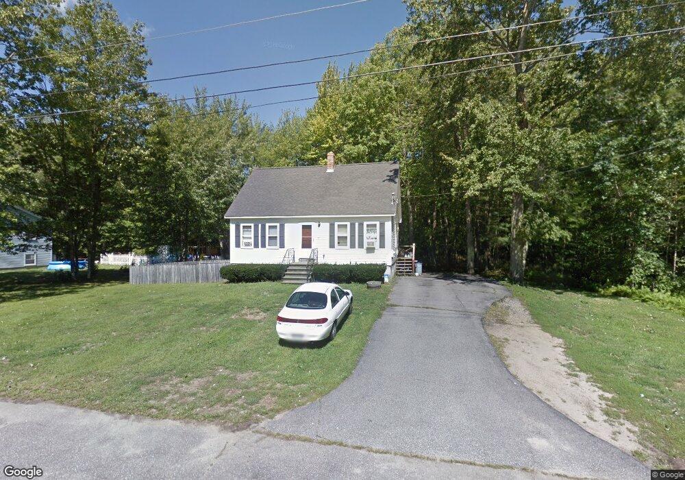
18 Pierce Ave Sanford, ME 04073
South Sanford NeighborhoodEstimated Value: $304,000 - $343,000
4
Beds
1
Bath
810
Sq Ft
$393/Sq Ft
Est. Value
About This Home
This home is located at 18 Pierce Ave, Sanford, ME 04073 and is currently estimated at $318,070, approximately $392 per square foot. 18 Pierce Ave is a home located in York County.
Ownership History
Date
Name
Owned For
Owner Type
Purchase Details
Closed on
Apr 8, 2008
Sold by
Brooks 3Rd Harold E
Bought by
Brooks 3Rd Harold E and Brooks Brandye
Current Estimated Value
Home Financials for this Owner
Home Financials are based on the most recent Mortgage that was taken out on this home.
Original Mortgage
$156,310
Outstanding Balance
$98,596
Interest Rate
6.06%
Mortgage Type
FHA
Estimated Equity
$219,474
Create a Home Valuation Report for This Property
The Home Valuation Report is an in-depth analysis detailing your home's value as well as a comparison with similar homes in the area
Home Values in the Area
Average Home Value in this Area
Purchase History
| Date | Buyer | Sale Price | Title Company |
|---|---|---|---|
| Brooks 3Rd Harold E | -- | -- |
Source: Public Records
Mortgage History
| Date | Status | Borrower | Loan Amount |
|---|---|---|---|
| Open | Brooks 3Rd Harold E | $156,310 |
Source: Public Records
Tax History Compared to Growth
Tax History
| Year | Tax Paid | Tax Assessment Tax Assessment Total Assessment is a certain percentage of the fair market value that is determined by local assessors to be the total taxable value of land and additions on the property. | Land | Improvement |
|---|---|---|---|---|
| 2025 | $3,148 | $184,100 | $40,000 | $144,100 |
| 2024 | $2,971 | $184,100 | $40,000 | $144,100 |
| 2023 | $2,765 | $182,600 | $40,000 | $142,600 |
| 2022 | $2,702 | $182,600 | $40,000 | $142,600 |
| 2021 | $2,783 | $153,100 | $40,000 | $113,100 |
| 2020 | $2,732 | $135,500 | $40,000 | $95,500 |
| 2019 | $2,614 | $126,300 | $40,000 | $86,300 |
| 2018 | $2,519 | $122,900 | $40,000 | $82,900 |
| 2017 | $2,532 | $122,100 | $40,000 | $82,100 |
| 2016 | $2,529 | $111,200 | $40,000 | $71,200 |
| 2015 | $2,413 | $109,500 | $41,000 | $68,500 |
| 2014 | $2,367 | $109,500 | $41,000 | $68,500 |
| 2013 | -- | $109,500 | $41,000 | $68,500 |
Source: Public Records
Map
Nearby Homes
- 28 Brunelle Ave
- 25 Brunell Ave
- 245 Kennebunk Rd
- 56 Sam Allen Rd
- 12 Marsh Brook Crossing
- 664 New Dam Rd
- Lot 4 Gatehouse Rd
- Lot 2 Gatehouse Rd
- Lot 3 Gatehouse Rd
- Lot 1 Gatehouse Rd
- 0 Airport Rd Unit 1634997
- 0 Airport Rd Unit 1624305
- 247 Sam Allen Rd
- 17 Airport Rd
- 2 Windsor Dr
- 93 Natanis Ridge Cir
- 10 Balsam Ln
- TBD Pheasant Ln
- 0 Pheasant Ln Unit 1633461
- 0 Pheasant Ln Unit 1611370