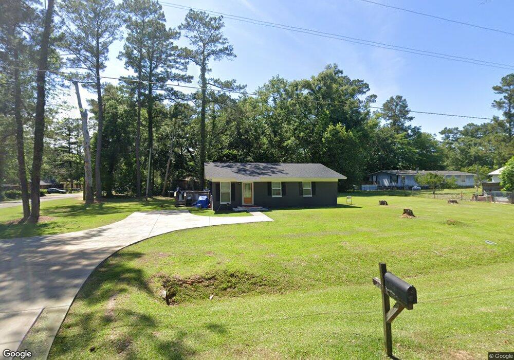
18 Pine Tree Ln Quincy, FL 32351
Estimated Value: $125,000 - $161,000
3
Beds
2
Baths
1,216
Sq Ft
$123/Sq Ft
Est. Value
About This Home
This home is located at 18 Pine Tree Ln, Quincy, FL 32351 and is currently estimated at $148,966, approximately $122 per square foot. 18 Pine Tree Ln is a home located in Gadsden County.
Ownership History
Date
Name
Owned For
Owner Type
Purchase Details
Closed on
Dec 28, 2018
Sold by
Davis Patsey Sherman and Sherman Alicia Lashon
Bought by
Davis Shynedra Shantel
Current Estimated Value
Purchase Details
Closed on
Mar 30, 2016
Sold by
Sherman Oliver Linda Diane and Sherman Moye Devora Lunette
Bought by
Sherman Davis Palsey Marie and Sherman Alicia Lashom
Purchase Details
Closed on
Mar 1, 2016
Bought by
Davis Patsey M Sherman
Purchase Details
Closed on
Nov 12, 2015
Sold by
Hopkins Emma Jean and Sherman John Lewis
Bought by
Moye Debora Lynette Sherman and Oliver Linda Diane Sherman
Create a Home Valuation Report for This Property
The Home Valuation Report is an in-depth analysis detailing your home's value as well as a comparison with similar homes in the area
Purchase History
| Date | Buyer | Sale Price | Title Company |
|---|---|---|---|
| Davis Shynedra Shantel | -- | Attorney | |
| Sherman Davis Palsey Marie | -- | Attorney | |
| Davis Patsey M Sherman | $100 | -- | |
| Moye Debora Lynette Sherman | -- | Attorney |
Source: Public Records
Tax History
| Year | Tax Paid | Tax Assessment Tax Assessment Total Assessment is a certain percentage of the fair market value that is determined by local assessors to be the total taxable value of land and additions on the property. | Land | Improvement |
|---|---|---|---|---|
| 2025 | $414 | $60,895 | -- | -- |
| 2024 | $410 | $59,179 | -- | -- |
| 2023 | $403 | $57,456 | $0 | $0 |
| 2022 | $395 | $55,783 | $0 | $0 |
| 2021 | $397 | $54,159 | $0 | $0 |
| 2020 | $424 | $53,560 | $5,000 | $48,560 |
| 2019 | $445 | $54,323 | $5,000 | $49,323 |
| 2018 | $837 | $54,323 | $0 | $0 |
| 2017 | $841 | $54,323 | $0 | $0 |
| 2016 | $866 | $55,086 | $0 | $0 |
| 2015 | $894 | $55,848 | $0 | $0 |
| 2014 | $910 | $56,611 | $0 | $0 |
Source: Public Records
Map
Nearby Homes
- 470 Frank Jackson Rd
- xxx Ln
- 456 Drakes Rd
- xxx Serenity Ln
- 26070 Blue Star Hwy
- 0 Mainline Dr Unit 784729
- xxx Cleveland St
- 1738 Martin Luther King Blvd
- 447 S Shelfer St
- XX Pat Thomas Pkwy
- 1636-B M l King Blvd
- 1310 Osceola St
- 516 Thomas St
- 18701 Blue Star Hwy
- 422 Thomas St
- 1513 Live Oak St
- 1903 W King St
- XXXX W Jefferson St
- 1734 W King St
- 918 7th St