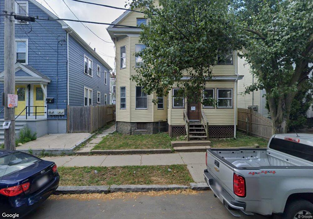
18 Pingree St Salem, MA 01970
The Point NeighborhoodEstimated Value: $620,543 - $815,000
4
Beds
2
Baths
2,392
Sq Ft
$305/Sq Ft
Est. Value
About This Home
This home is located at 18 Pingree St, Salem, MA 01970 and is currently estimated at $729,886, approximately $305 per square foot. 18 Pingree St is a home located in Essex County with nearby schools including Saltonstall School, Carlton Elementary School, and Bates Elementary School.
Ownership History
Date
Name
Owned For
Owner Type
Purchase Details
Closed on
Jul 1, 2024
Sold by
Charest Anna M
Bought by
Anna Charest Childrens T and Charest
Current Estimated Value
Purchase Details
Closed on
Jan 1, 1977
Bought by
Charest Ronald R and Charest Anna M
Create a Home Valuation Report for This Property
The Home Valuation Report is an in-depth analysis detailing your home's value as well as a comparison with similar homes in the area
Home Values in the Area
Average Home Value in this Area
Purchase History
| Date | Buyer | Sale Price | Title Company |
|---|---|---|---|
| Anna Charest Childrens T | -- | None Available | |
| Anna Charest Childrens T | -- | None Available | |
| Charest Ronald R | $22,000 | -- |
Source: Public Records
Tax History Compared to Growth
Tax History
| Year | Tax Paid | Tax Assessment Tax Assessment Total Assessment is a certain percentage of the fair market value that is determined by local assessors to be the total taxable value of land and additions on the property. | Land | Improvement |
|---|---|---|---|---|
| 2025 | $6,232 | $549,600 | $144,600 | $405,000 |
| 2024 | $6,034 | $519,300 | $144,600 | $374,700 |
| 2023 | $5,748 | $459,500 | $127,600 | $331,900 |
| 2022 | $5,863 | $442,500 | $119,100 | $323,400 |
| 2021 | $5,549 | $402,100 | $111,100 | $291,000 |
| 2020 | $5,111 | $353,700 | $81,900 | $271,800 |
| 2019 | $4,974 | $329,400 | $72,300 | $257,100 |
| 2018 | $4,616 | $300,100 | $72,300 | $227,800 |
| 2017 | $4,358 | $274,800 | $61,700 | $213,100 |
| 2016 | $4,306 | $274,800 | $61,700 | $213,100 |
| 2015 | $3,633 | $221,400 | $53,000 | $168,400 |
Source: Public Records
Map
Nearby Homes
- 25 Perkins St
- 32 Park St
- 39 1/2 Harbor St Unit 1
- 86 Wharf St Unit 6
- 90 Wharf St Unit 10
- 288-292 Washington & 5 Porter St Ct
- 59 Leach St Unit 2
- 7 Fairfield St
- 9 Glover St Unit 1
- 7 Curtis St Unit 1
- 69 Essex St Unit 2
- 67 Essex St Unit 2
- 9 Lyme St
- 140 Washington St Unit 1C
- 7 Forrester St
- 4 Willow Ave Unit 2
- 22 Prescott St Unit 2
- 10 Hazel St Unit 2
- 57 Endicott St Unit 2
- 15 Lynde St Unit 26
- 16 Pingree St
- 16 Pingree St
- 16 Pingree St Unit 2
- 16 Pingree St Unit 1
- 20 Pingree St
- 14 Pingree St
- 25 Perkins St Unit 3
- 25 Perkins St Unit 2
- 25 Perkins St Unit 1
- 22 Pingree St
- 31 Perkins St Unit 3
- 31 Perkins St Unit 4
- 31 Perkins St Unit 8
- 31 Perkins St Unit 7
- 31 Perkins St Unit 6
- 31 Perkins St
- 31 Perkins St Unit 1
- 32 Pingree St
- 32 Pingree St Unit 2
- 32 Pingree St Unit 1