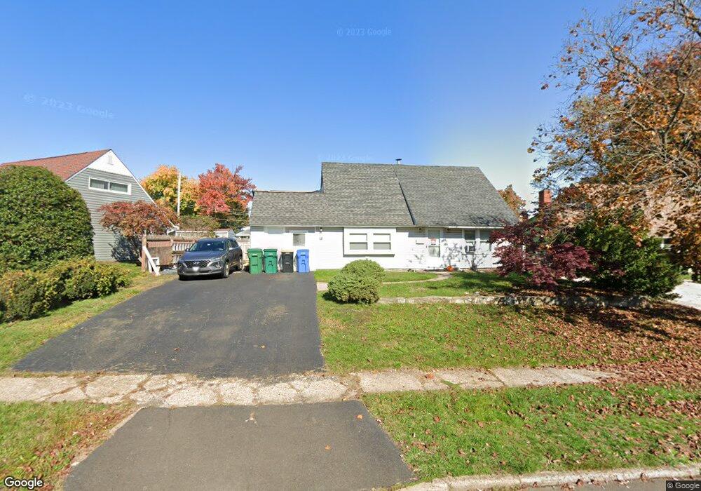
18 Plumtree Rd Levittown, PA 19056
Plumbridge NeighborhoodEstimated Value: $379,000 - $459,000
3
Beds
2
Baths
1,716
Sq Ft
$238/Sq Ft
Est. Value
About This Home
This home is located at 18 Plumtree Rd, Levittown, PA 19056 and is currently estimated at $408,626, approximately $238 per square foot. 18 Plumtree Rd is a home located in Bucks County with nearby schools including Truman Senior High School, First Presbyterian Church School, and Emilie Christian Day School.
Ownership History
Date
Name
Owned For
Owner Type
Purchase Details
Closed on
Jan 14, 2021
Sold by
Coluccio Lenore S
Bought by
Coluccio Lenore S and Coluccio Michael Anthony
Current Estimated Value
Purchase Details
Closed on
Apr 21, 1993
Sold by
Elliott Anna J
Bought by
Coluccio Michael A and Coluccio Lenore S
Purchase Details
Closed on
Feb 24, 1955
Bought by
Elliott Anna J
Create a Home Valuation Report for This Property
The Home Valuation Report is an in-depth analysis detailing your home's value as well as a comparison with similar homes in the area
Home Values in the Area
Average Home Value in this Area
Purchase History
| Date | Buyer | Sale Price | Title Company |
|---|---|---|---|
| Coluccio Lenore S | -- | Title Services | |
| Coluccio Michael A | $82,900 | -- | |
| Elliott Anna J | -- | -- |
Source: Public Records
Tax History Compared to Growth
Tax History
| Year | Tax Paid | Tax Assessment Tax Assessment Total Assessment is a certain percentage of the fair market value that is determined by local assessors to be the total taxable value of land and additions on the property. | Land | Improvement |
|---|---|---|---|---|
| 2025 | $5,372 | $19,780 | $4,360 | $15,420 |
| 2024 | $5,372 | $19,780 | $4,360 | $15,420 |
| 2023 | $5,332 | $19,780 | $4,360 | $15,420 |
| 2022 | $5,332 | $19,780 | $4,360 | $15,420 |
| 2021 | $5,332 | $19,780 | $4,360 | $15,420 |
| 2020 | $5,332 | $19,780 | $4,360 | $15,420 |
| 2019 | $5,312 | $19,780 | $4,360 | $15,420 |
| 2018 | $5,227 | $19,780 | $4,360 | $15,420 |
| 2017 | $5,147 | $19,780 | $4,360 | $15,420 |
| 2016 | $5,147 | $19,780 | $4,360 | $15,420 |
| 2015 | $3,718 | $19,780 | $4,360 | $15,420 |
| 2014 | $3,718 | $19,780 | $4,360 | $15,420 |
Source: Public Records
Map
Nearby Homes
- 16 Plumtree Rd
- 24 Plumtree Rd
- 19 Pine Needle Rd
- 26 Plumtree Rd
- 21 Pine Needle Rd
- 10 Plumtree Rd
- 17 Pine Needle Rd
- 15 Plumtree Rd
- 17 Plumtree Rd
- 30 Plumtree Rd
- 21 Plumtree Rd
- 23 Plumtree Rd
- 15 Pine Needle Rd
- 8 Plumtree Rd
- 23 Pine Needle Rd
- 25 Plumtree Rd
- 9 Plumtree Rd
- 27 Plumtree Rd
- 9 Pine Needle Rd
- 34 Plumtree Rd