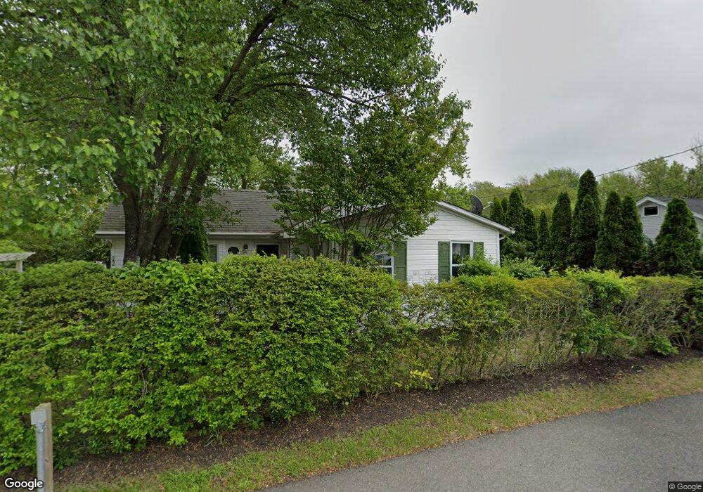
18 Powell Ln Barnegat, NJ 08005
Barnegat Township NeighborhoodEstimated Value: $510,238 - $567,000
4
Beds
3
Baths
2,306
Sq Ft
$234/Sq Ft
Est. Value
About This Home
This home is located at 18 Powell Ln, Barnegat, NJ 08005 and is currently estimated at $539,310, approximately $233 per square foot. 18 Powell Ln is a home located in Ocean County with nearby schools including Barnegat High School.
Ownership History
Date
Name
Owned For
Owner Type
Purchase Details
Closed on
Dec 28, 2000
Sold by
H U D
Bought by
Montgomery Joel and Montgomery Wanda
Current Estimated Value
Purchase Details
Closed on
Aug 15, 1997
Sold by
Kyme Richard and Kyme Theresa
Bought by
Landry James J
Home Financials for this Owner
Home Financials are based on the most recent Mortgage that was taken out on this home.
Original Mortgage
$139,550
Interest Rate
7.41%
Mortgage Type
FHA
Create a Home Valuation Report for This Property
The Home Valuation Report is an in-depth analysis detailing your home's value as well as a comparison with similar homes in the area
Home Values in the Area
Average Home Value in this Area
Purchase History
| Date | Buyer | Sale Price | Title Company |
|---|---|---|---|
| Montgomery Joel | $157,019 | -- | |
| Montgomery Joel | $157,019 | -- | |
| -- | $157,000 | -- | |
| Landry James J | $82,000 | First American Title Ins Co |
Source: Public Records
Mortgage History
| Date | Status | Borrower | Loan Amount |
|---|---|---|---|
| Previous Owner | Landry James J | $139,550 |
Source: Public Records
Tax History Compared to Growth
Tax History
| Year | Tax Paid | Tax Assessment Tax Assessment Total Assessment is a certain percentage of the fair market value that is determined by local assessors to be the total taxable value of land and additions on the property. | Land | Improvement |
|---|---|---|---|---|
| 2025 | $6,549 | $220,000 | $98,000 | $122,000 |
| 2024 | $6,404 | $220,000 | $98,000 | $122,000 |
| 2023 | $6,197 | $220,000 | $98,000 | $122,000 |
| 2022 | $6,197 | $220,000 | $98,000 | $122,000 |
| 2021 | $6,169 | $220,000 | $98,000 | $122,000 |
| 2020 | $6,140 | $220,000 | $98,000 | $122,000 |
| 2019 | $6,050 | $220,000 | $98,000 | $122,000 |
| 2018 | $6,004 | $220,000 | $98,000 | $122,000 |
| 2017 | $5,905 | $220,000 | $98,000 | $122,000 |
| 2016 | $7,771 | $295,600 | $98,000 | $197,600 |
| 2015 | $7,526 | $295,600 | $98,000 | $197,600 |
| 2014 | $7,334 | $295,600 | $98,000 | $197,600 |
Source: Public Records
Map
Nearby Homes
- 100 Cedar Ln
- 635 E Bay Ave
- 647 E Bay Ave
- 146 Brook St
- 19 Center St
- 26 Ridgeway St
- 441 E Bay Ave Unit 9
- 408 N Main St
- 68 Memorial Dr
- 401 Bayshore Dr Unit 2A
- 401 Bay Shore Dr Unit 8B
- 389 Bay Shore Dr Unit 3
- 389 Bayshore Dr
- 379 Bayshore Dr
- 54 Bayview Blvd
- 3 Whisper Way
- 27 Gibraltar Ct
- 280 Burr St Unit EXT
- 23 Mediterranean Ct Unit 43D