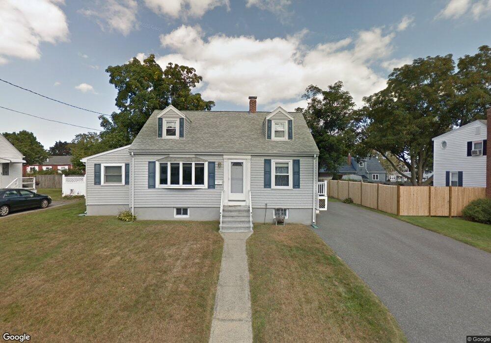
18 Regis Rd Arlington, MA 02474
East Arlington NeighborhoodEstimated Value: $964,169 - $1,143,000
3
Beds
2
Baths
1,639
Sq Ft
$639/Sq Ft
Est. Value
About This Home
This home is located at 18 Regis Rd, Arlington, MA 02474 and is currently estimated at $1,046,792, approximately $638 per square foot. 18 Regis Rd is a home located in Middlesex County with nearby schools including Thompson School, Ottoson Middle School, and Arlington High School.
Ownership History
Date
Name
Owned For
Owner Type
Purchase Details
Closed on
Sep 21, 1990
Sold by
Johnson Natalie T
Bought by
Jamgochian Charles R
Current Estimated Value
Create a Home Valuation Report for This Property
The Home Valuation Report is an in-depth analysis detailing your home's value as well as a comparison with similar homes in the area
Home Values in the Area
Average Home Value in this Area
Purchase History
| Date | Buyer | Sale Price | Title Company |
|---|---|---|---|
| Jamgochian Charles R | $172,500 | -- |
Source: Public Records
Mortgage History
| Date | Status | Borrower | Loan Amount |
|---|---|---|---|
| Open | Jamgochian Charles R | $220,000 | |
| Closed | Jamgochian Charles R | $130,000 | |
| Closed | Jamgochian Charles R | $130,000 |
Source: Public Records
Tax History
| Year | Tax Paid | Tax Assessment Tax Assessment Total Assessment is a certain percentage of the fair market value that is determined by local assessors to be the total taxable value of land and additions on the property. | Land | Improvement |
|---|---|---|---|---|
| 2025 | $8,690 | $806,900 | $491,500 | $315,400 |
| 2024 | $7,974 | $753,000 | $466,900 | $286,100 |
| 2023 | $7,406 | $660,700 | $417,800 | $242,900 |
| 2022 | $7,138 | $625,000 | $393,200 | $231,800 |
| 2021 | $6,998 | $617,100 | $393,200 | $223,900 |
| 2020 | $6,826 | $617,200 | $393,200 | $224,000 |
| 2019 | $6,093 | $541,100 | $356,400 | $184,700 |
| 2018 | $6,339 | $522,600 | $337,900 | $184,700 |
| 2017 | $6,024 | $479,600 | $294,900 | $184,700 |
| 2016 | $5,588 | $436,600 | $251,900 | $184,700 |
| 2015 | $5,500 | $405,900 | $233,500 | $172,400 |
Source: Public Records
Map
Nearby Homes
- 199 Everett St Unit 199
- 29 Dartmouth St Unit 29
- 27-29 Dartmouth St Unit 1
- 120 Broadway
- 53 Warren St Unit 53
- 80 Broadway Unit PH
- 52 Warren St
- 89 Cleveland St Unit 89
- 145 Jerome St
- 111 Sharon St Unit 1
- 44 Sherman St
- 132 Warren St Unit B
- 165 Franklin St Unit 167
- 69 Sterling St
- 251 Massachusetts Ave Unit 1
- 325A Alewife Brook Pkwy Unit A
- 327 Alewife Brook Pkwy Unit A
- 327 Alewife Brook Pkwy Unit B
- 166 Franklin St Unit 1
- 59A High St Unit A
Your Personal Tour Guide
Ask me questions while you tour the home.