18 Rolling Ave North East, MD 21901
Estimated Value: $310,398 - $352,000
--
Bed
2
Baths
1,222
Sq Ft
$273/Sq Ft
Est. Value
About This Home
This home is located at 18 Rolling Ave, North East, MD 21901 and is currently estimated at $333,600, approximately $272 per square foot. 18 Rolling Ave is a home located in Cecil County with nearby schools including North East Elementary School, North East Middle School, and North East High School.
Ownership History
Date
Name
Owned For
Owner Type
Purchase Details
Closed on
May 27, 1999
Sold by
Moonland Construction Co
Bought by
Bamford David R and Tracy Karen L
Current Estimated Value
Purchase Details
Closed on
Jun 11, 1998
Sold by
Walsh William and Walsh Carole N
Bought by
Moonland Construction Co
Purchase Details
Closed on
Oct 12, 1989
Sold by
Astfalk Mark T and Astfalk Frank P
Bought by
Walsh William and Walsh Carole N
Create a Home Valuation Report for This Property
The Home Valuation Report is an in-depth analysis detailing your home's value as well as a comparison with similar homes in the area
Home Values in the Area
Average Home Value in this Area
Purchase History
| Date | Buyer | Sale Price | Title Company |
|---|---|---|---|
| Bamford David R | $131,208 | -- | |
| Moonland Construction Co | $34,900 | -- | |
| Walsh William | $40,000 | -- |
Source: Public Records
Mortgage History
| Date | Status | Borrower | Loan Amount |
|---|---|---|---|
| Closed | Bamford David R | -- |
Source: Public Records
Tax History Compared to Growth
Tax History
| Year | Tax Paid | Tax Assessment Tax Assessment Total Assessment is a certain percentage of the fair market value that is determined by local assessors to be the total taxable value of land and additions on the property. | Land | Improvement |
|---|---|---|---|---|
| 2025 | $2,442 | $231,067 | $0 | $0 |
| 2024 | $1,993 | $215,433 | $0 | $0 |
| 2023 | $1,567 | $199,800 | $80,400 | $119,400 |
| 2022 | $2,285 | $197,533 | $0 | $0 |
| 2021 | $2,239 | $195,267 | $0 | $0 |
| 2020 | $2,286 | $193,000 | $80,400 | $112,600 |
| 2019 | $2,286 | $193,000 | $80,400 | $112,600 |
| 2018 | $2,286 | $193,000 | $80,400 | $112,600 |
| 2017 | $2,308 | $194,900 | $0 | $0 |
| 2016 | $2,172 | $193,233 | $0 | $0 |
| 2015 | $2,172 | $191,567 | $0 | $0 |
| 2014 | $2,366 | $189,900 | $0 | $0 |
Source: Public Records
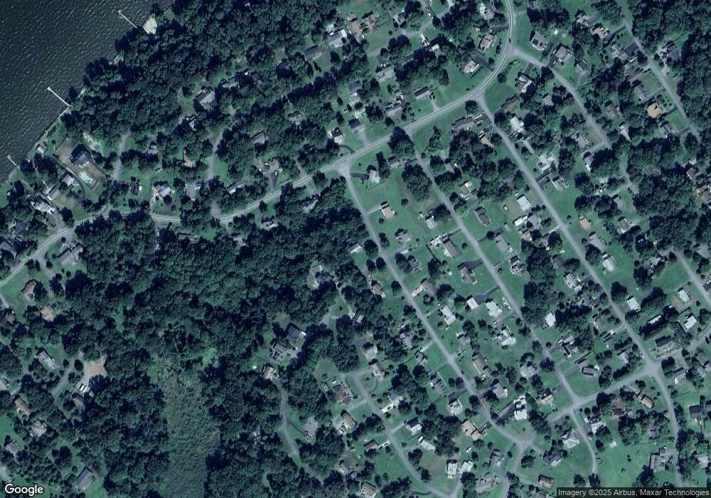
Map
Nearby Homes
- 5185 Turkey Point Rd
- 159 Park Dr
- 2 Glenwood St
- 47 Birch Rd
- 2926 Crystal Beach Rd
- 113 Midway Dr
- 63 North Dr
- 75 South Dr
- 100 Midway Dr
- Lot 111 Old Barn Ln
- Lot 113 Old Barn Ln
- 5 Old Barn Ln
- 3929 Turkey Point Rd
- 67 Chesapeake Cir
- 148 Bay Cir
- 10 Maryland Dr
- 85 Edgewater Dr
- 0 Pond Creek Ln
- 177 Pearce Creek Dr
- 152 Wickwire Dr