Estimated Value: $779,468 - $1,029,000
--
Bed
--
Bath
2,248
Sq Ft
$396/Sq Ft
Est. Value
About This Home
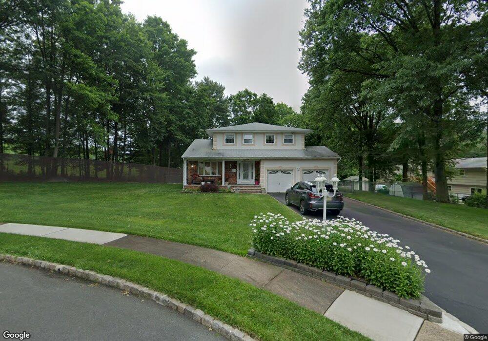
This home is located at 18 Rolling Hill Way, Clark, NJ 07066 and is currently estimated at $891,117, approximately $396 per square foot. 18 Rolling Hill Way is a home located in Union County with nearby schools including Frank K. Hehnly Elementary School, Carl H. Kumpf Middle School, and Arthur L. Johnson High School.
Ownership History
Date
Name
Owned For
Owner Type
Purchase Details
Closed on
Jul 27, 2001
Sold by
Puljanowski Jan and Puljanowski Mary A
Bought by
Polichronis Ilias and Polichronis Anna
Current Estimated Value
Home Financials for this Owner
Home Financials are based on the most recent Mortgage that was taken out on this home.
Original Mortgage
$228,000
Interest Rate
7.1%
Create a Home Valuation Report for This Property
The Home Valuation Report is an in-depth analysis detailing your home's value as well as a comparison with similar homes in the area
Home Values in the Area
Average Home Value in this Area
Purchase History
| Date | Buyer | Sale Price | Title Company |
|---|---|---|---|
| Polichronis Ilias | $408,000 | Chicago Title Insurance Co |
Source: Public Records
Mortgage History
| Date | Status | Borrower | Loan Amount |
|---|---|---|---|
| Closed | Polichronis Ilias | $228,000 |
Source: Public Records
Tax History Compared to Growth
Tax History
| Year | Tax Paid | Tax Assessment Tax Assessment Total Assessment is a certain percentage of the fair market value that is determined by local assessors to be the total taxable value of land and additions on the property. | Land | Improvement |
|---|---|---|---|---|
| 2025 | $11,918 | $538,300 | $240,600 | $297,700 |
| 2024 | $11,740 | $538,300 | $240,600 | $297,700 |
| 2023 | $11,740 | $538,300 | $240,600 | $297,700 |
| 2022 | $11,401 | $538,300 | $240,600 | $297,700 |
| 2021 | $14,677 | $165,100 | $52,000 | $113,100 |
| 2020 | $14,438 | $165,100 | $52,000 | $113,100 |
| 2019 | $14,293 | $165,100 | $52,000 | $113,100 |
| 2018 | $14,121 | $165,100 | $52,000 | $113,100 |
| 2017 | $13,895 | $165,100 | $52,000 | $113,100 |
| 2016 | $13,383 | $165,100 | $52,000 | $113,100 |
| 2015 | $13,248 | $165,100 | $52,000 | $113,100 |
| 2014 | $12,969 | $165,100 | $52,000 | $113,100 |
Source: Public Records
Map
Nearby Homes
- 19 State St
- 44 Post Rd
- 39 Mildred Terrace
- 5 Elizabeth Ct
- 116 Arthur Ave
- 24 Frederick Ave
- 741 Brookside Rd
- 78 Patricia Ave
- 205 Patricia Ave
- 442 Stalevicz Ln
- 1095 Elm Terrace
- 53 Richard St
- 992 Milton Blvd
- 1169 Briarcliff Dr
- 150 Carolyn Ave
- 1081 Madison Hill Rd
- 789 Hillside Rd
- 675 Raritan Rd Unit 33
- 478 Cornell Ave
- 1126 Stone St
- 10 Grouse Ln
- 8 Grouse Ln
- 19 Rolling Hill Way
- 17 Rolling Hill Way
- 21 Rolling Hill Way
- 6 Grouse Ln
- 7 Grouse Ln
- 15 Rolling Hill Way
- 133 Hayes Ave
- 4 Grouse Ln
- 13 Rolling Hill Way
- 137 Hayes Ave
- 127 Hayes Ave
- 12 Rolling Hill Way
- 121 Hayes Ave
- 2 Grouse Ln
- 11 Rolling Hill Way
- 115 Hayes Ave
- 143 Hayes Ave
- 136 Hayes Ave