18 Round Pond Rd Little Compton, RI 02837
Estimated Value: $1,828,000 - $2,387,414
3
Beds
3
Baths
1,973
Sq Ft
$1,096/Sq Ft
Est. Value
About This Home
This home is located at 18 Round Pond Rd, Little Compton, RI 02837 and is currently estimated at $2,162,854, approximately $1,096 per square foot. 18 Round Pond Rd is a home located in Newport County with nearby schools including Wilbur & McMahon School.
Ownership History
Date
Name
Owned For
Owner Type
Purchase Details
Closed on
Dec 28, 2010
Sold by
Howe Susan
Bought by
Laible Robert K and Laible Elizabeth B
Current Estimated Value
Home Financials for this Owner
Home Financials are based on the most recent Mortgage that was taken out on this home.
Original Mortgage
$417,000
Outstanding Balance
$273,725
Interest Rate
4.17%
Mortgage Type
Purchase Money Mortgage
Estimated Equity
$1,889,129
Purchase Details
Closed on
Jun 24, 2002
Sold by
Eskelund Martha Est
Bought by
Howe Nathaniel J and Howe Allison
Home Financials for this Owner
Home Financials are based on the most recent Mortgage that was taken out on this home.
Original Mortgage
$395,000
Interest Rate
6.81%
Mortgage Type
Purchase Money Mortgage
Create a Home Valuation Report for This Property
The Home Valuation Report is an in-depth analysis detailing your home's value as well as a comparison with similar homes in the area
Home Values in the Area
Average Home Value in this Area
Purchase History
| Date | Buyer | Sale Price | Title Company |
|---|---|---|---|
| Laible Robert K | $935,000 | -- | |
| Howe Nathaniel J | $850,000 | -- | |
| Laible Robert K | $935,000 | -- | |
| Howe Nathaniel J | $850,000 | -- |
Source: Public Records
Mortgage History
| Date | Status | Borrower | Loan Amount |
|---|---|---|---|
| Open | Howe Nathaniel J | $417,000 | |
| Closed | Howe Nathaniel J | $417,000 | |
| Previous Owner | Howe Nathaniel J | $395,000 |
Source: Public Records
Tax History
| Year | Tax Paid | Tax Assessment Tax Assessment Total Assessment is a certain percentage of the fair market value that is determined by local assessors to be the total taxable value of land and additions on the property. | Land | Improvement |
|---|---|---|---|---|
| 2025 | $9,504 | $1,984,200 | $1,388,200 | $596,000 |
| 2024 | $8,905 | $1,753,000 | $1,207,400 | $545,600 |
| 2023 | $8,595 | $1,732,900 | $1,207,400 | $525,500 |
| 2022 | $8,331 | $1,700,300 | $1,207,400 | $492,900 |
| 2021 | $6,945 | $1,149,800 | $899,900 | $249,900 |
| 2020 | $6,887 | $1,149,800 | $899,900 | $249,900 |
| 2019 | $6,818 | $1,149,800 | $899,900 | $249,900 |
| 2018 | $6,859 | $1,150,900 | $899,900 | $251,000 |
| 2016 | $6,526 | $1,150,900 | $899,900 | $251,000 |
| 2015 | $5,828 | $1,013,600 | $750,100 | $263,500 |
| 2014 | $5,458 | $967,700 | $750,100 | $217,600 |
Source: Public Records
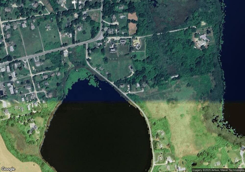
Map
Nearby Homes
- 22 Round Pond Rd
- 16 Round Pond Rd
- 10 Round Pond Rd
- 24 Round Pond Rd
- 8 Round Pond Rd
- 8 Round Pond Rd
- 122 Sakonnet Point Rd
- 118 Sakonnet Point Rd
- 36 Round Pond Rd
- 128 Sakonnet Point Rd
- 116 Sakonnet Point Rd
- 38 Round Pond Rd
- 2 California Rd
- 2 Nevada Rd
- 4 California Rd
- 127 Sakonnet Point Rd
- 127C Sakonnet Point Rd
- 5 California Rd
- 5 Nevada Rd
- 114 Sakonnet Point Rd
Your Personal Tour Guide
Ask me questions while you tour the home.