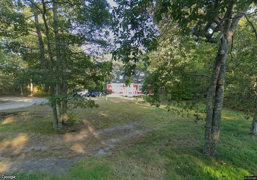
18 S Sandwich Rd Sandwich, MA 02563
Estimated Value: $620,000 - $654,407
3
Beds
2
Baths
1,384
Sq Ft
$462/Sq Ft
Est. Value
About This Home
This home is located at 18 S Sandwich Rd, Sandwich, MA 02563 and is currently estimated at $639,602, approximately $462 per square foot. 18 S Sandwich Rd is a home located in Barnstable County with nearby schools including Sandwich Middle High School and Montessori School of Sandwich.
Ownership History
Date
Name
Owned For
Owner Type
Purchase Details
Closed on
Jun 19, 2015
Sold by
Nader Jeffery S and Gee Danielle
Bought by
Silvia Lisa M
Current Estimated Value
Home Financials for this Owner
Home Financials are based on the most recent Mortgage that was taken out on this home.
Original Mortgage
$260,200
Outstanding Balance
$206,094
Interest Rate
4.4%
Mortgage Type
FHA
Estimated Equity
$433,508
Purchase Details
Closed on
Feb 2, 2010
Sold by
Wolfe Nancy Anne
Bought by
Nader Jeffery S
Home Financials for this Owner
Home Financials are based on the most recent Mortgage that was taken out on this home.
Original Mortgage
$265,000
Interest Rate
4.95%
Mortgage Type
VA
Purchase Details
Closed on
Dec 15, 1994
Sold by
Prestige Prop Inc
Bought by
Richards Rupert and Richards Gloria M
Create a Home Valuation Report for This Property
The Home Valuation Report is an in-depth analysis detailing your home's value as well as a comparison with similar homes in the area
Home Values in the Area
Average Home Value in this Area
Purchase History
| Date | Buyer | Sale Price | Title Company |
|---|---|---|---|
| Silvia Lisa M | $265,000 | -- | |
| Nader Jeffery S | $265,000 | -- | |
| Richards Rupert | $127,900 | -- |
Source: Public Records
Mortgage History
| Date | Status | Borrower | Loan Amount |
|---|---|---|---|
| Open | Silvia Lisa M | $260,200 | |
| Previous Owner | Nader Jeffery S | $265,000 | |
| Previous Owner | Richards Rupert | $137,700 | |
| Previous Owner | Richards Rupert | $25,000 | |
| Previous Owner | Richards Rupert | $10,000 |
Source: Public Records
Tax History Compared to Growth
Tax History
| Year | Tax Paid | Tax Assessment Tax Assessment Total Assessment is a certain percentage of the fair market value that is determined by local assessors to be the total taxable value of land and additions on the property. | Land | Improvement |
|---|---|---|---|---|
| 2025 | $5,318 | $503,100 | $182,900 | $320,200 |
| 2024 | $5,028 | $465,600 | $163,300 | $302,300 |
| 2023 | $4,785 | $416,100 | $148,500 | $267,600 |
| 2022 | $4,589 | $348,700 | $132,600 | $216,100 |
| 2021 | $4,001 | $341,800 | $149,500 | $192,300 |
| 2020 | $4,747 | $331,700 | $149,400 | $182,300 |
| 2019 | $3,701 | $317,500 | $146,600 | $170,900 |
| 2018 | $4,181 | $292,600 | $133,700 | $158,900 |
| 2017 | $4,148 | $277,800 | $129,400 | $148,400 |
| 2016 | $3,852 | $266,200 | $125,000 | $141,200 |
| 2015 | $3,558 | $240,100 | $101,700 | $138,400 |
Source: Public Records
Map
Nearby Homes
- 0 Cotuit Rd
- 63 Fal Sandwich
- 12 S Sandwich Rd
- 16 Cotuit Rd
- 1 Asa Meiggs Rd
- 20 Harlow Rd
- 8 S Sandwich Rd
- 13 Harlow St
- 9 Cotuit Rd
- 1 Woodspring Farm Ln
- 23 Harlow Rd
- 2 Asa Meiggs Rd
- 1 Woodspring Farm Ln
- 2 S Sandwich Rd
- 24 Harlow Rd
- 3 Woodspring Farm Ln
- 31 Cotuit and Harlow
- 28 Harlow Rd
- 4 Sean Cir
- 1 Salt Kettle Ln