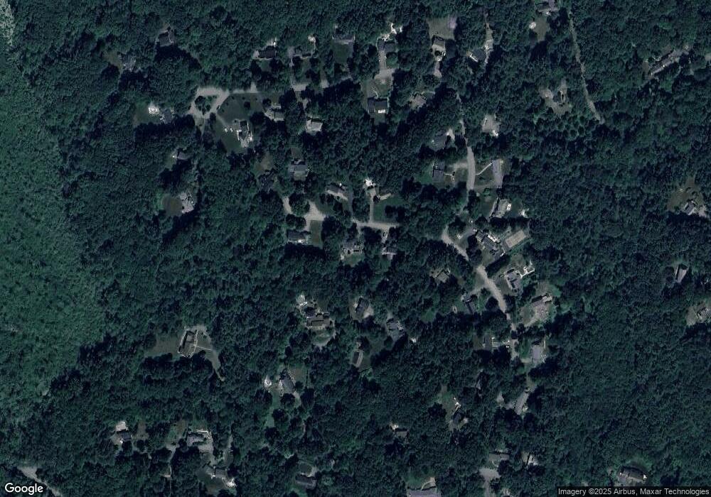
Estimated Value: $1,410,012 - $1,696,000
4
Beds
3
Baths
4,717
Sq Ft
$327/Sq Ft
Est. Value
About This Home
This home is located at 18 Samuel Parlin Dr, Acton, MA 01720 and is currently estimated at $1,542,253, approximately $326 per square foot. 18 Samuel Parlin Dr is a home located in Middlesex County with nearby schools including Acton-Boxborough Regional High School.
Ownership History
Date
Name
Owned For
Owner Type
Purchase Details
Closed on
Dec 1, 2010
Sold by
Freud Elissa L and Willis Steven R
Bought by
Jandl Robert C and Jandi Stefanie S
Current Estimated Value
Home Financials for this Owner
Home Financials are based on the most recent Mortgage that was taken out on this home.
Original Mortgage
$417,000
Outstanding Balance
$273,350
Interest Rate
4.22%
Mortgage Type
Purchase Money Mortgage
Estimated Equity
$1,268,903
Purchase Details
Closed on
May 20, 1992
Sold by
Porter William E and Porter Diane H
Bought by
Freud Elissa L and Willis Steven R
Create a Home Valuation Report for This Property
The Home Valuation Report is an in-depth analysis detailing your home's value as well as a comparison with similar homes in the area
Home Values in the Area
Average Home Value in this Area
Purchase History
| Date | Buyer | Sale Price | Title Company |
|---|---|---|---|
| Jandl Robert C | $880,000 | -- | |
| Freud Elissa L | $370,000 | -- |
Source: Public Records
Mortgage History
| Date | Status | Borrower | Loan Amount |
|---|---|---|---|
| Open | Jandl Robert C | $417,000 | |
| Closed | Freud Elissa L | $125,000 | |
| Previous Owner | Freud Elissa L | $100,000 | |
| Previous Owner | Freud Elissa L | $35,300 |
Source: Public Records
Tax History Compared to Growth
Tax History
| Year | Tax Paid | Tax Assessment Tax Assessment Total Assessment is a certain percentage of the fair market value that is determined by local assessors to be the total taxable value of land and additions on the property. | Land | Improvement |
|---|---|---|---|---|
| 2025 | $24,044 | $1,402,000 | $393,600 | $1,008,400 |
| 2024 | $22,294 | $1,337,400 | $393,600 | $943,800 |
| 2023 | $21,783 | $1,240,500 | $357,800 | $882,700 |
| 2022 | $20,514 | $1,054,700 | $311,200 | $743,500 |
| 2021 | $20,616 | $1,019,100 | $288,200 | $730,900 |
| 2020 | $19,409 | $1,008,800 | $288,200 | $720,600 |
| 2019 | $18,897 | $975,600 | $288,200 | $687,400 |
| 2018 | $18,481 | $953,600 | $288,200 | $665,400 |
| 2017 | $18,747 | $983,600 | $288,200 | $695,400 |
| 2016 | $18,242 | $948,600 | $288,200 | $660,400 |
| 2015 | $17,848 | $936,900 | $288,200 | $648,700 |
| 2014 | $16,976 | $872,800 | $288,200 | $584,600 |
Source: Public Records
Map
Nearby Homes
- 524 Main St
- 23 John Swift Rd
- 159 Skyline Dr Unit 159
- 709 Main St
- 491 Main St
- 4 Huron Rd
- 4 Omega Way
- 9 Breezy Point Rd
- 388 Great Rd Unit B14
- 386 Great Rd Unit A8
- 390 Great Rd Unit A2
- 484 Great Rd
- 484 Great Rd
- 420 Great Rd Unit B3
- 407 Great Rd Unit 9
- 31 Mohawk Dr
- 484 Great Road -3
- 484 Great Road -4
- 484 Great Road -6
- 405 Great Elm Way
- 16 Samuel Parlin Dr
- 20 Samuel Parlin Dr
- 17 Samuel Parlin Dr
- 15 Samuel Parlin Dr
- 52 Hammond St
- 56 Hammond St
- 10 Samuel Parlin Dr
- 19 Samuel Parlin Dr
- 21 Samuel Parlin Dr
- 4 Willis Holden Dr
- 11 Samuel Parlin Dr
- 8 Samuel Parlin Dr
- 6 Willis Holden Dr
- 14 Willis Holden Dr
- 10 Willis Holden Dr
- 1 Willis Holden Dr
- 48 Hammond St
- 6 Samuel Parlin Dr
- 9 Samuel Parlin Dr
- 16 Willis Holden Dr
