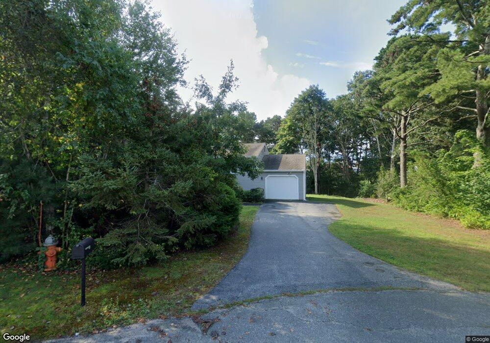
18 Sandy Ln Bourne, MA 2532
Estimated Value: $543,000 - $642,000
3
Beds
3
Baths
1,512
Sq Ft
$390/Sq Ft
Est. Value
About This Home
This home is located at 18 Sandy Ln, Bourne, MA 2532 and is currently estimated at $590,005, approximately $390 per square foot. 18 Sandy Ln is a home located in Barnstable County with nearby schools including Bourne High School, St Margaret Regional School, and Cadence Academy Preschool - Bourne.
Ownership History
Date
Name
Owned For
Owner Type
Purchase Details
Closed on
Nov 23, 1998
Sold by
Travis Howard B and Travis Helen M
Bought by
Boyd G Michael and Boyd Maureen
Current Estimated Value
Home Financials for this Owner
Home Financials are based on the most recent Mortgage that was taken out on this home.
Original Mortgage
$124,600
Interest Rate
6.49%
Mortgage Type
Purchase Money Mortgage
Create a Home Valuation Report for This Property
The Home Valuation Report is an in-depth analysis detailing your home's value as well as a comparison with similar homes in the area
Purchase History
| Date | Buyer | Sale Price | Title Company |
|---|---|---|---|
| Boyd G Michael | $128,500 | -- | |
| Boyd G Michael G | $128,500 | -- |
Source: Public Records
Mortgage History
| Date | Status | Borrower | Loan Amount |
|---|---|---|---|
| Open | Boyd G Michael G | $110,000 | |
| Closed | Boyd G Michael G | $123,900 | |
| Closed | Boyd G Michael G | $124,600 |
Source: Public Records
Tax History
| Year | Tax Paid | Tax Assessment Tax Assessment Total Assessment is a certain percentage of the fair market value that is determined by local assessors to be the total taxable value of land and additions on the property. | Land | Improvement |
|---|---|---|---|---|
| 2025 | $3,555 | $455,200 | $203,100 | $252,100 |
| 2024 | $3,477 | $433,600 | $193,500 | $240,100 |
| 2023 | $3,382 | $383,900 | $171,200 | $212,700 |
| 2022 | $3,232 | $320,300 | $151,500 | $168,800 |
| 2021 | $3,138 | $291,400 | $137,900 | $153,500 |
| 2020 | $3,044 | $283,400 | $136,600 | $146,800 |
| 2019 | $3,125 | $297,300 | $157,100 | $140,200 |
| 2018 | $3,052 | $289,600 | $149,600 | $140,000 |
| 2017 | $2,688 | $261,000 | $122,400 | $138,600 |
| 2016 | $2,586 | $254,500 | $122,400 | $132,100 |
| 2015 | $2,433 | $241,600 | $109,500 | $132,100 |
Source: Public Records
Map
Nearby Homes
- 10 Sandy Ln
- 60 Sandwich Rd
- 44 Cotuit Rd
- 6 Honora Ct
- 38 Old Bridge Rd
- 5 Sea Knoll Ct
- 1 Hollyhock Knoll Ct Unit 1
- 26 Carnoustie Rd
- 4 Hollyhock Knoll Ct Unit 4
- 4 Hollyhock Knoll Ct Unit 4
- 5 Zoli Ln
- 13 Laurel Hill Ct
- 24 Ships View Terrace
- 12 Turnberry Rd Unit 12
- 304 Main St
- 7 Mizzen Ln
- 4 Mainstay Ln
- 29 Weather Deck Rd
- 203 County Rd
- 46 Holt Rd Unit A
Your Personal Tour Guide
Ask me questions while you tour the home.