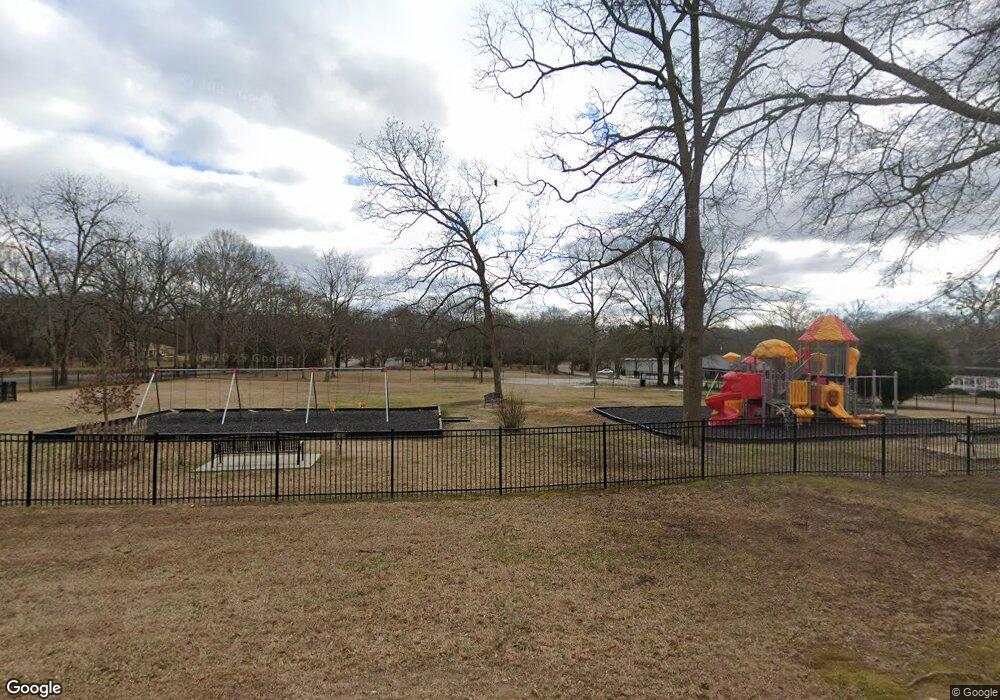
18 Shepherd St W Bethlehem, GA 30620
Estimated Value: $273,278
Studio
2
Baths
--
Sq Ft
1.01
Acres
About This Home
This home is located at 18 Shepherd St W, Bethlehem, GA 30620 and is currently estimated at $273,278. 18 Shepherd St W is a home located in Barrow County with nearby schools including Bethlehem Elementary School, Haymon-Morris Middle School, and Apalachee High School.
Ownership History
Date
Name
Owned For
Owner Type
Purchase Details
Closed on
Sep 28, 2012
Sold by
Maddox Frances Ruth Morris
Bought by
Town Of Bethlehem
Current Estimated Value
Home Financials for this Owner
Home Financials are based on the most recent Mortgage that was taken out on this home.
Original Mortgage
$60,000
Outstanding Balance
$41,210
Interest Rate
3.64%
Mortgage Type
New Conventional
Estimated Equity
$232,478
Create a Home Valuation Report for This Property
The Home Valuation Report is an in-depth analysis detailing your home's value as well as a comparison with similar homes in the area
Home Values in the Area
Average Home Value in this Area
Purchase History
| Date | Buyer | Sale Price | Title Company |
|---|---|---|---|
| Town Of Bethlehem | $90,000 | -- |
Source: Public Records
Mortgage History
| Date | Status | Borrower | Loan Amount |
|---|---|---|---|
| Open | Town Of Bethlehem | $60,000 |
Source: Public Records
Tax History
| Year | Tax Paid | Tax Assessment Tax Assessment Total Assessment is a certain percentage of the fair market value that is determined by local assessors to be the total taxable value of land and additions on the property. | Land | Improvement |
|---|---|---|---|---|
| 2025 | -- | $8,000 | $8,000 | $0 |
| 2024 | -- | $8,000 | $8,000 | $0 |
| 2023 | $0 | $8,000 | $8,000 | $0 |
| 2022 | $223 | $8,000 | $8,000 | $0 |
| 2021 | $253 | $8,000 | $8,000 | $0 |
| 2020 | $255 | $8,000 | $8,000 | $0 |
| 2019 | $258 | $8,000 | $8,000 | $0 |
| 2018 | $258 | $8,000 | $8,000 | $0 |
| 2017 | $233 | $8,000 | $8,000 | $0 |
| 2016 | -- | $8,000 | $8,000 | $0 |
| 2015 | -- | $8,000 | $8,000 | $0 |
| 2014 | -- | $6,272 | $6,272 | $0 |
| 2013 | -- | $5,488 | $5,488 | $0 |
Source: Public Records
Map
Nearby Homes
- 0 Manger Ave E Unit 20154677
- 0 Manger Ave E Unit 20127001
- 53 Rowlett Place
- 54 Rowlett Place
- 73 Rowlett Place
- 784 Manger Ave
- 724 Manger Ave
- 812 Christmas Ave
- 1050 Bethlehem Church Rd
- 449 & 455 Carl-Bethlehem Rd
- 898 Harrison Mill Rd
- 0 Monroe Hwy Unit 7530054
- 0 Monroe Hwy Unit 10466108
- 534 Walton Dr
- 220 Carl Bethlehem Rd SW
- 755 Harry McCarty Rd
- 82 McElhannon Rd SE
- 129 Carnaby St
- 203 Nativity Cove
- 203 Nativity Cove Unit LOT 27
- 16 Angel St
- 742 Manger Ave
- 11 Star St E
- 0 Harry McCarty Rd Gatew NE Unit 3234714
- 118 Elmarry Ln
- 18 Feeney St
- 10 Feeney St
- 20 Elmarry Ln
- 36 Elmarry Ln
- 21 Star St E
- 753 Judea St
- 20 Angel St
- 44 E Star St
- 44 Star St E
- 27 Star St E
- 772 Manger Ave
- 24 Angel St
- 735 Christmas Ave
- 753 Christmas Ave
- 41 Star St E
