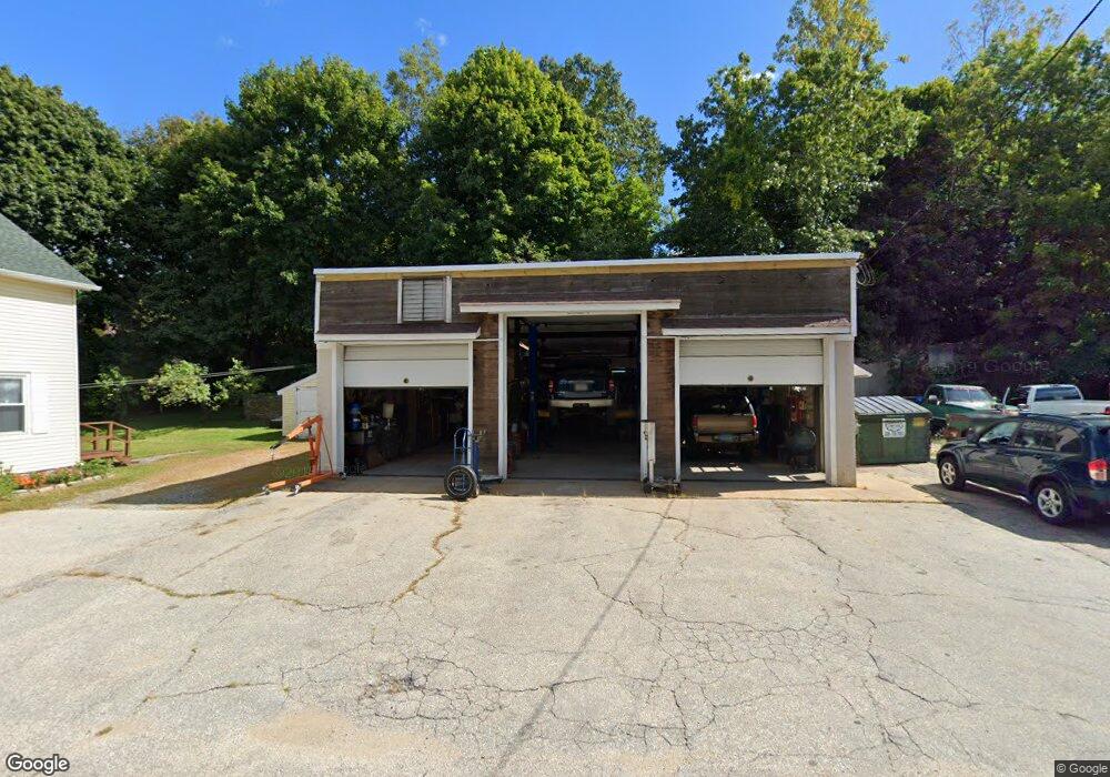
18 Soap St Killingly, CT 06241
Estimated Value: $160,568
--
Bed
--
Bath
1,369
Sq Ft
$117/Sq Ft
Est. Value
About This Home
This home is located at 18 Soap St, Killingly, CT 06241 and is currently estimated at $160,568, approximately $117 per square foot. 18 Soap St is a home located in Windham County with nearby schools including Killingly Central School, Killingly Memorial School, and Killingly Intermediate School.
Ownership History
Date
Name
Owned For
Owner Type
Purchase Details
Closed on
Oct 23, 2024
Sold by
Dayville Garage Llc
Bought by
Rt Dayville Garage Llc
Current Estimated Value
Purchase Details
Closed on
Sep 11, 2015
Sold by
Dayville Garage Llc
Bought by
Provencher Brian C
Purchase Details
Closed on
Aug 29, 2013
Sold by
Provencher Ft and Provencher Ellen M
Bought by
Dayville Garage Llc
Purchase Details
Closed on
Jul 11, 2012
Sold by
Provencher Richard
Bought by
Provencher Ellen M
Create a Home Valuation Report for This Property
The Home Valuation Report is an in-depth analysis detailing your home's value as well as a comparison with similar homes in the area
Home Values in the Area
Average Home Value in this Area
Purchase History
| Date | Buyer | Sale Price | Title Company |
|---|---|---|---|
| Rt Dayville Garage Llc | $150,000 | None Available | |
| Rt Dayville Garage Llc | $150,000 | None Available | |
| Rt Dayville Garage Llc | $150,000 | None Available | |
| Provencher Brian C | -- | -- | |
| Provencher Brian C | -- | -- | |
| Dayville Garage Llc | $60,000 | -- | |
| Dayville Garage Llc | $60,000 | -- | |
| Provencher Ellen M | -- | -- | |
| Provencher Ellen M | -- | -- |
Source: Public Records
Tax History Compared to Growth
Tax History
| Year | Tax Paid | Tax Assessment Tax Assessment Total Assessment is a certain percentage of the fair market value that is determined by local assessors to be the total taxable value of land and additions on the property. | Land | Improvement |
|---|---|---|---|---|
| 2025 | $2,242 | $95,590 | $40,520 | $55,070 |
| 2024 | $2,110 | $95,590 | $40,520 | $55,070 |
| 2023 | $2,160 | $75,390 | $33,530 | $41,860 |
| 2022 | $2,029 | $75,390 | $33,530 | $41,860 |
| 2021 | $2,029 | $75,390 | $33,530 | $41,860 |
| 2020 | $1,986 | $75,390 | $33,530 | $41,860 |
| 2019 | $2,025 | $75,390 | $33,530 | $41,860 |
| 2017 | $2,143 | $73,360 | $33,530 | $39,830 |
| 2016 | $2,136 | $73,360 | $33,530 | $39,830 |
| 2015 | $2,735 | $93,310 | $45,080 | $48,230 |
| 2014 | $2,660 | $93,310 | $45,080 | $48,230 |
Source: Public Records
Map
Nearby Homes
- 85 Soap St
- 11 Kenneth Dr
- 3 Ferland Dr
- 1067 N Main St
- 4 Bluebird Ln
- 98 Williamsville Rd
- 1032 N Main St Unit 9
- 7 Shelby Cir
- 10 Conrad's Park
- 14 Valley View Dr
- 18 Valley View Dr
- 16 Valley View Dr
- 30 Huntley Rd
- 38-82 Ballouville Rd
- 842 Hartford Pike
- 36 Breakneck Hill Rd
- 61 Deerwood Dr
- 420 Putnam Pike
- 165 Breakneck Hill Rd
- 860 N Main St