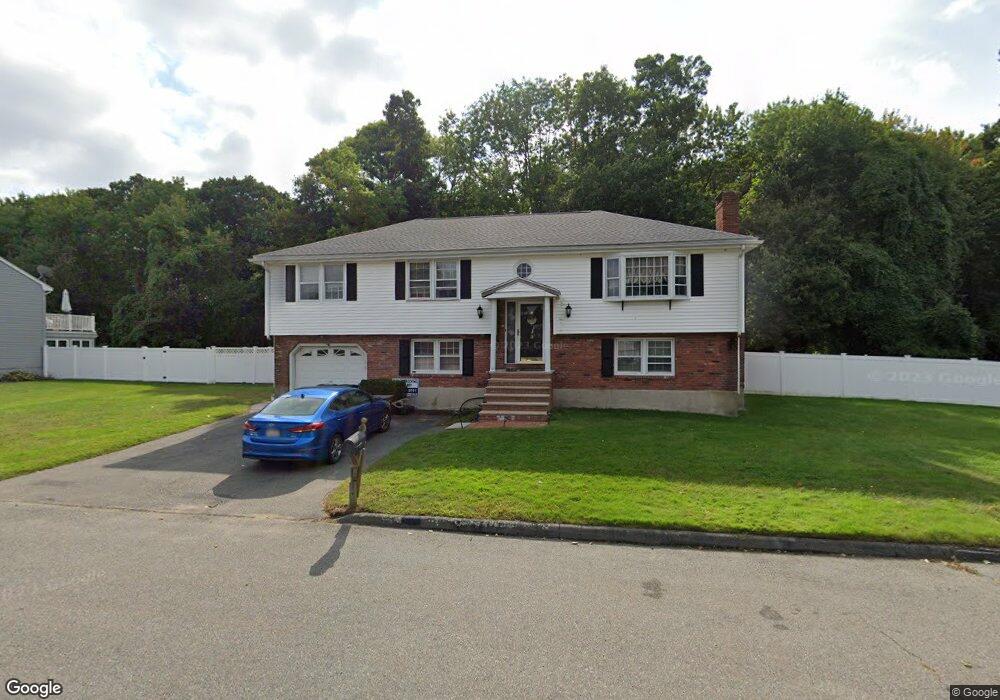
18 Sparhawk Cir Stoneham, MA 02180
Haywardville NeighborhoodEstimated Value: $937,032 - $1,021,000
3
Beds
3
Baths
2,044
Sq Ft
$479/Sq Ft
Est. Value
About This Home
This home is located at 18 Sparhawk Cir, Stoneham, MA 02180 and is currently estimated at $979,508, approximately $479 per square foot. 18 Sparhawk Cir is a home located in Middlesex County with nearby schools including Stoneham High School, St. Patrick Elementary School, and Greater Boston Academy.
Ownership History
Date
Name
Owned For
Owner Type
Purchase Details
Closed on
Mar 21, 2003
Sold by
Doe Lorraine Ann
Bought by
Clough Susan M and Clough John M
Current Estimated Value
Home Financials for this Owner
Home Financials are based on the most recent Mortgage that was taken out on this home.
Original Mortgage
$360,000
Outstanding Balance
$152,236
Interest Rate
5.9%
Mortgage Type
Purchase Money Mortgage
Estimated Equity
$827,272
Create a Home Valuation Report for This Property
The Home Valuation Report is an in-depth analysis detailing your home's value as well as a comparison with similar homes in the area
Home Values in the Area
Average Home Value in this Area
Purchase History
| Date | Buyer | Sale Price | Title Company |
|---|---|---|---|
| Clough Susan M | $450,000 | -- |
Source: Public Records
Mortgage History
| Date | Status | Borrower | Loan Amount |
|---|---|---|---|
| Open | Clough Susan M | $360,000 |
Source: Public Records
Tax History
| Year | Tax Paid | Tax Assessment Tax Assessment Total Assessment is a certain percentage of the fair market value that is determined by local assessors to be the total taxable value of land and additions on the property. | Land | Improvement |
|---|---|---|---|---|
| 2025 | $8,485 | $829,400 | $420,100 | $409,300 |
| 2024 | $8,267 | $780,600 | $400,100 | $380,500 |
| 2023 | $7,950 | $716,200 | $360,100 | $356,100 |
| 2022 | $7,014 | $673,800 | $340,100 | $333,700 |
| 2021 | $7,155 | $630,500 | $320,100 | $310,400 |
| 2020 | $6,747 | $625,300 | $310,100 | $315,200 |
| 2019 | $6,826 | $608,400 | $290,100 | $318,300 |
| 2018 | $6,452 | $551,000 | $270,100 | $280,900 |
| 2017 | $6,367 | $513,900 | $260,100 | $253,800 |
| 2016 | $6,130 | $482,700 | $250,100 | $232,600 |
| 2015 | $6,270 | $483,800 | $250,100 | $233,700 |
| 2014 | $6,173 | $457,600 | $240,100 | $217,500 |
Source: Public Records
Map
Nearby Homes
- 53 Perkins St
- 159 Franklin St Unit D2
- 159 Franklin St Unit C2
- 159 Franklin St Unit E6
- 17 Franklin St
- 137 Franklin St Unit 102
- 33 Lake Ave
- 5 Chapel Way
- 35 Maple Rd
- 7 Carol St
- 300 Park Terrace Dr Unit 354
- 601 Franklin St Unit 2
- 51 Spring St
- 6 Everett St
- 11 Ludlow Ave
- 62 Maple St
- 24 Ellsworth Ave
- 23 Ellsworth Ave
- 8 Common St Unit 3
- 6 Colby Terrace
- 16 Sparhawk Cir
- 20 Sparhawk Cir
- 4 Tedford Dr
- 19 Sparhawk Cir
- 14 Sparhawk Cir
- 2 Tedford Dr
- 15 Citation Ave
- 12 Sparhawk Cir
- 22 Sparhawk Cir
- 22 Sparhawk Cir Unit 1
- 9 Sparhawk Cir
- 21 Sparhawk Cir
- 11 Citation Ave
- 19 Citation Ave
- 16 Citation Ave
- 10 Sparhawk Cir
- 7 Sparhawk Cir
- 14 Citation Ave
- 18 Citation Ave
- 24 Sparhawk Cir
Your Personal Tour Guide
Ask me questions while you tour the home.