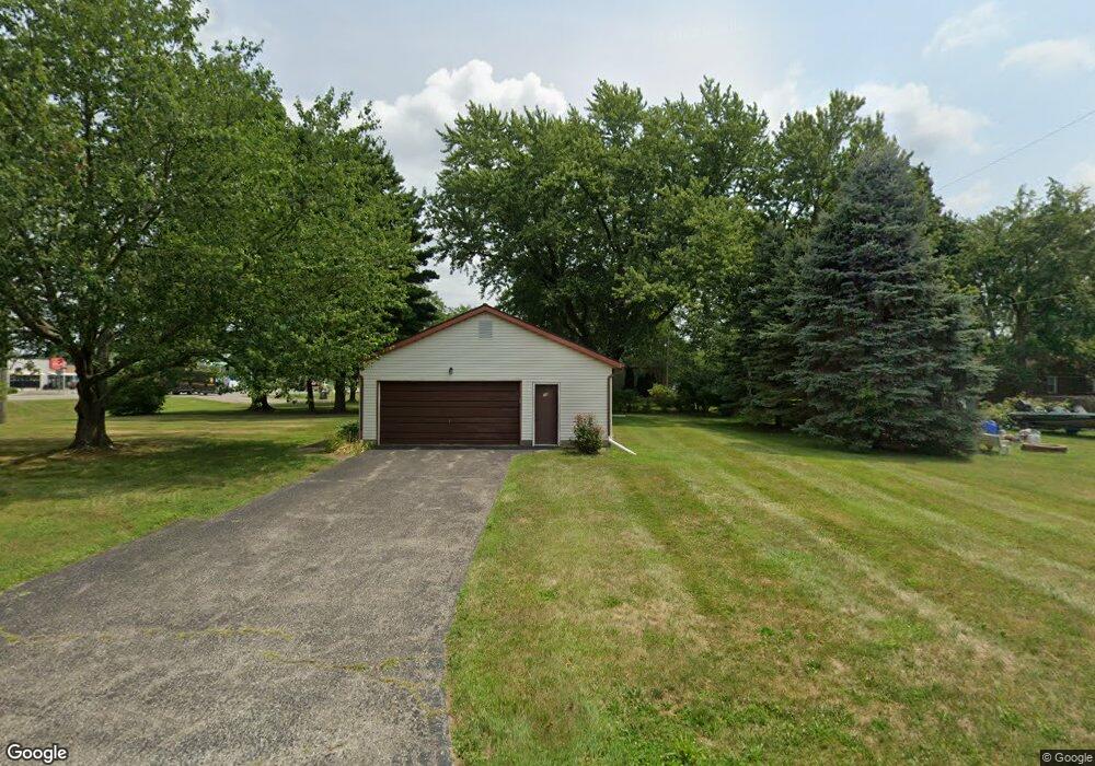
18 Spring St Pataskala, OH 43062
Estimated Value: $203,000 - $244,000
2
Beds
1
Bath
980
Sq Ft
$232/Sq Ft
Est. Value
About This Home
This home is located at 18 Spring St, Pataskala, OH 43062 and is currently estimated at $227,239, approximately $231 per square foot. 18 Spring St is a home located in Licking County with nearby schools including Pataskala Elementary School, Etna Elementary School, and Watkins Middle School.
Ownership History
Date
Name
Owned For
Owner Type
Purchase Details
Closed on
Nov 22, 2024
Sold by
Monroe Linda
Bought by
521 Richwood Drive Llc
Current Estimated Value
Purchase Details
Closed on
Aug 4, 2009
Sold by
Mauger Raymond F and Mauger Nancy Jean
Bought by
Lemay Robert J and Lemay Mary Ann
Home Financials for this Owner
Home Financials are based on the most recent Mortgage that was taken out on this home.
Original Mortgage
$92,297
Interest Rate
5.49%
Mortgage Type
FHA
Create a Home Valuation Report for This Property
The Home Valuation Report is an in-depth analysis detailing your home's value as well as a comparison with similar homes in the area
Home Values in the Area
Average Home Value in this Area
Purchase History
| Date | Buyer | Sale Price | Title Company |
|---|---|---|---|
| 521 Richwood Drive Llc | $205,000 | None Listed On Document | |
| Lemay Robert J | $94,000 | Attorney |
Source: Public Records
Mortgage History
| Date | Status | Borrower | Loan Amount |
|---|---|---|---|
| Previous Owner | Lemay Robert J | $92,297 |
Source: Public Records
Tax History
| Year | Tax Paid | Tax Assessment Tax Assessment Total Assessment is a certain percentage of the fair market value that is determined by local assessors to be the total taxable value of land and additions on the property. | Land | Improvement |
|---|---|---|---|---|
| 2024 | $2,448 | $68,740 | $30,870 | $37,870 |
| 2023 | $2,472 | $68,740 | $30,870 | $37,870 |
| 2022 | $2,114 | $52,400 | $18,520 | $33,880 |
| 2021 | $2,177 | $52,400 | $18,520 | $33,880 |
| 2020 | $2,211 | $52,400 | $18,520 | $33,880 |
| 2019 | $1,743 | $40,540 | $15,440 | $25,100 |
| 2018 | $1,750 | $0 | $0 | $0 |
| 2017 | $1,545 | $0 | $0 | $0 |
| 2016 | $1,407 | $0 | $0 | $0 |
| 2015 | $1,355 | $0 | $0 | $0 |
| 2014 | $2,280 | $0 | $0 | $0 |
| 2013 | $1,506 | $0 | $0 | $0 |
Source: Public Records
Map
Nearby Homes
- 303 Levi Dr Unit Lot 7
- 186 Markway Dr Unit Lot 12
- 188 Markway Dr Unit Lot 13
- 0 E Broad St
- 0 Blacks Rd Unit 215031989
- 0 Blacks Rd Unit Lot 10
- 258 S Main St
- 245 Granville St
- 456 Joseph van Dorn Ct
- 388 S Township Rd
- 218 Blacks Rd
- 411 Broadview Ct
- 263 International Dr
- 366 Isaac Tharp St
- 405 Waterlily Ln
- 360 Isaac Tharp St
- 364 Isaac Tharp St
- 366 Issac Tharp St
- 116 Ruby Rd
- 0 Hazelton-Etna Rd SW Unit 224002323
Your Personal Tour Guide
Ask me questions while you tour the home.