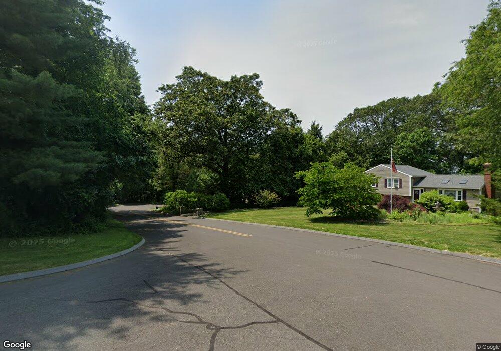
18 Spruce Brook Rd Seymour, CT 06483
Estimated Value: $610,000 - $701,000
4
Beds
3
Baths
3,024
Sq Ft
$215/Sq Ft
Est. Value
About This Home
This home is located at 18 Spruce Brook Rd, Seymour, CT 06483 and is currently estimated at $650,904, approximately $215 per square foot. 18 Spruce Brook Rd is a home located in New Haven County with nearby schools including Bungay Elementary School, Seymour Middle School, and Seymour High School.
Ownership History
Date
Name
Owned For
Owner Type
Purchase Details
Closed on
Jul 28, 1995
Sold by
Petersen Richard M
Bought by
Durette Glenn F and Durette Debra L
Current Estimated Value
Create a Home Valuation Report for This Property
The Home Valuation Report is an in-depth analysis detailing your home's value as well as a comparison with similar homes in the area
Home Values in the Area
Average Home Value in this Area
Purchase History
| Date | Buyer | Sale Price | Title Company |
|---|---|---|---|
| Durette Glenn F | $71,500 | -- | |
| Durette Glenn F | $71,500 | -- |
Source: Public Records
Mortgage History
| Date | Status | Borrower | Loan Amount |
|---|---|---|---|
| Open | Durette Glenn F | $297,600 | |
| Closed | Durette Glenn F | $300,000 | |
| Closed | Durette Glenn F | $82,100 | |
| Closed | Durette Glenn F | $248,150 |
Source: Public Records
Tax History Compared to Growth
Tax History
| Year | Tax Paid | Tax Assessment Tax Assessment Total Assessment is a certain percentage of the fair market value that is determined by local assessors to be the total taxable value of land and additions on the property. | Land | Improvement |
|---|---|---|---|---|
| 2025 | $10,631 | $383,530 | $60,830 | $322,700 |
| 2024 | $9,614 | $260,960 | $62,790 | $198,170 |
| 2023 | $9,389 | $260,960 | $62,790 | $198,170 |
| 2022 | $9,288 | $260,960 | $62,790 | $198,170 |
| 2021 | $9,058 | $260,960 | $62,790 | $198,170 |
| 2020 | $8,878 | $246,610 | $73,570 | $173,040 |
| 2019 | $8,878 | $246,610 | $73,570 | $173,040 |
| 2018 | $8,878 | $246,610 | $73,570 | $173,040 |
| 2017 | $8,878 | $246,610 | $73,570 | $173,040 |
| 2016 | $8,878 | $246,610 | $73,570 | $173,040 |
| 2015 | $8,956 | $258,930 | $77,490 | $181,440 |
| 2014 | $8,814 | $258,930 | $77,490 | $181,440 |
Source: Public Records
Map
Nearby Homes
- 14 Spruce Brook Rd
- 256 Roosevelt Dr
- 7 Spindle Rd
- 181 Great Hill Rd
- 154 S Benham Rd
- 56 Great Hill Rd
- 44 Princess Wenonah Dr
- 12 Deerfield Dr
- 19 Davis Rd
- 25 Davis Rd
- 109 Davis Rd
- 154 Longfellow Rd
- 5 Robert Frost Dr
- 88 Brookfield Rd
- 22 Brookfield Rd
- 70 Brookdale Rd
- 567 Roosevelt Dr
- 73 Brookdale Rd
- 148 Bungay Rd
- 5 Ansmour Rd
- 16 Spruce Brook Rd
- 118 Middle Benham Rd
- 88 N Benham Rd
- 10 High Ridge Rd
- 124 Middle Benham Rd
- 111 Middle Benham Rd
- 16 High Ridge Rd
- 119 Middle Benham Rd
- 15 High Ridge Rd
- 82 N Benham Rd
- 13 Spruce Brook Rd
- 9 High Ridge Rd
- 13 High Ridge Rd
- 6 High Ridge Rd
- 7 High Ridge Rd
- 76 N Benham Rd
- 11 Spruce Brook Rd
- 4 High Ridge Rd
- 13 Great Meadow Rd