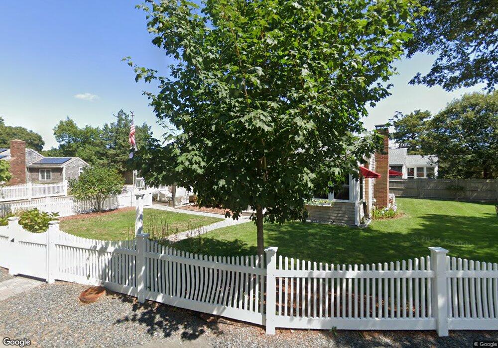
18 Spruce Way Dennis Port, MA 02639
Dennis Port NeighborhoodEstimated Value: $561,000 - $706,000
3
Beds
2
Baths
1,184
Sq Ft
$550/Sq Ft
Est. Value
About This Home
This home is located at 18 Spruce Way, Dennis Port, MA 02639 and is currently estimated at $651,424, approximately $550 per square foot. 18 Spruce Way is a home located in Barnstable County with nearby schools including Dennis-Yarmouth Regional High School and St. Pius X. School.
Ownership History
Date
Name
Owned For
Owner Type
Purchase Details
Closed on
Mar 9, 2021
Sold by
Dunn Scott W and Dunn Ellen
Bought by
Dunn 2021 Rt
Current Estimated Value
Purchase Details
Closed on
Apr 16, 2010
Sold by
Grimsey-Griffin Elizabeth and Crowell William D
Bought by
Dunn Scott W and Dunn Ellen
Home Financials for this Owner
Home Financials are based on the most recent Mortgage that was taken out on this home.
Original Mortgage
$214,000
Interest Rate
4.97%
Mortgage Type
Purchase Money Mortgage
Create a Home Valuation Report for This Property
The Home Valuation Report is an in-depth analysis detailing your home's value as well as a comparison with similar homes in the area
Home Values in the Area
Average Home Value in this Area
Purchase History
| Date | Buyer | Sale Price | Title Company |
|---|---|---|---|
| Dunn 2021 Rt | -- | None Available | |
| Dunn Scott W | $267,500 | -- |
Source: Public Records
Mortgage History
| Date | Status | Borrower | Loan Amount |
|---|---|---|---|
| Previous Owner | Dunn Scott W | $214,000 |
Source: Public Records
Tax History Compared to Growth
Tax History
| Year | Tax Paid | Tax Assessment Tax Assessment Total Assessment is a certain percentage of the fair market value that is determined by local assessors to be the total taxable value of land and additions on the property. | Land | Improvement |
|---|---|---|---|---|
| 2025 | $2,532 | $584,700 | $186,200 | $398,500 |
| 2024 | $2,548 | $580,300 | $179,000 | $401,300 |
| 2023 | $2,463 | $527,500 | $162,700 | $364,800 |
| 2022 | $2,219 | $396,300 | $146,600 | $249,700 |
| 2021 | $2,129 | $353,000 | $143,700 | $209,300 |
| 2020 | $2,078 | $340,700 | $132,700 | $208,000 |
| 2019 | $2,011 | $326,000 | $130,100 | $195,900 |
| 2018 | $2,109 | $332,600 | $134,100 | $198,500 |
| 2017 | $2,124 | $345,300 | $123,800 | $221,500 |
| 2016 | $1,759 | $269,300 | $129,000 | $140,300 |
| 2015 | $1,724 | $269,300 | $129,000 | $140,300 |
| 2014 | $1,612 | $253,800 | $113,500 | $140,300 |
Source: Public Records
Map
Nearby Homes
- 12 Cross St
- 102 Sea St
- 26 Manning Rd
- 159 Center St Unit 22
- 22 Ferncliff Rd
- 402 Old Wharf Rd
- 402 Old Wharf Rd
- 11 Ocean Park W
- 405 Old Wharf Rd Unit B204
- 405 Old Wharf Rd Unit B204
- 10 Candlewood Ln Unit 2-1
- 12 Candlewood Ln Unit 2-9
- 9 Chase Ave Unit 6
- 72 Bassett Ln
- 22 Wixon Rd
- 37-A Beach Hills Rd
- 221 Upper County Rd Unit 2A
- 221 Upper County Rd Unit 2A
- 73 Division St
- 37 Beach Hills Rd