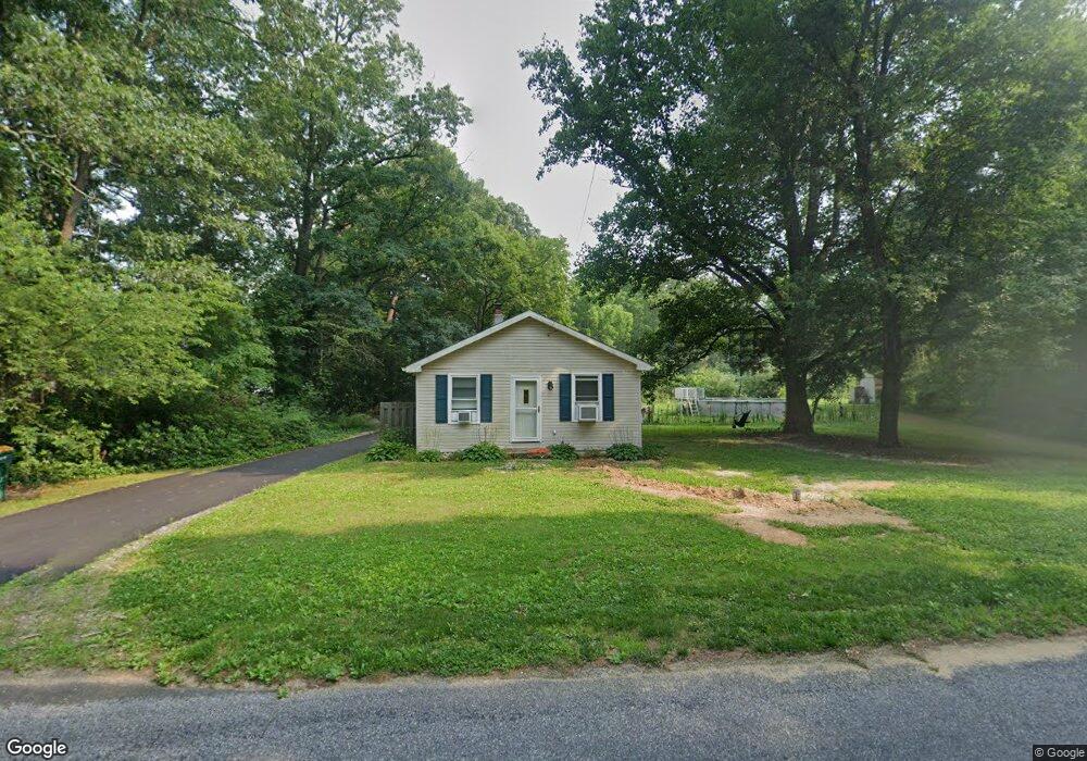
18 Taylor Rd Newfield, NJ 08344
Estimated Value: $154,868 - $280,000
--
Bed
--
Bath
592
Sq Ft
$401/Sq Ft
Est. Value
About This Home
This home is located at 18 Taylor Rd, Newfield, NJ 08344 and is currently estimated at $237,217, approximately $400 per square foot. 18 Taylor Rd is a home located in Salem County with nearby schools including Upper Pittsgrove School.
Ownership History
Date
Name
Owned For
Owner Type
Purchase Details
Closed on
Aug 28, 2002
Sold by
Merriel Brian P and Merriel Veronica
Bought by
Merriel Michelle M
Current Estimated Value
Home Financials for this Owner
Home Financials are based on the most recent Mortgage that was taken out on this home.
Original Mortgage
$76,784
Outstanding Balance
$32,426
Interest Rate
6.39%
Mortgage Type
FHA
Estimated Equity
$204,791
Purchase Details
Closed on
Jul 9, 2001
Sold by
Sullivan Michael F and Sullivan Amber
Bought by
Merriel Brian P and Merriel Veronica
Purchase Details
Closed on
Oct 31, 1997
Sold by
Parente Gregory A
Bought by
Sullivan Michael F
Home Financials for this Owner
Home Financials are based on the most recent Mortgage that was taken out on this home.
Original Mortgage
$63,067
Interest Rate
7.23%
Mortgage Type
FHA
Create a Home Valuation Report for This Property
The Home Valuation Report is an in-depth analysis detailing your home's value as well as a comparison with similar homes in the area
Home Values in the Area
Average Home Value in this Area
Purchase History
| Date | Buyer | Sale Price | Title Company |
|---|---|---|---|
| Merriel Michelle M | $78,000 | West Jersey Title Agency | |
| Merriel Brian P | $69,000 | Stewart Title Guaranty Compa | |
| Sullivan Michael F | $63,100 | -- |
Source: Public Records
Mortgage History
| Date | Status | Borrower | Loan Amount |
|---|---|---|---|
| Open | Merriel Michelle M | $76,784 | |
| Previous Owner | Sullivan Michael F | $63,067 |
Source: Public Records
Tax History Compared to Growth
Tax History
| Year | Tax Paid | Tax Assessment Tax Assessment Total Assessment is a certain percentage of the fair market value that is determined by local assessors to be the total taxable value of land and additions on the property. | Land | Improvement |
|---|---|---|---|---|
| 2025 | $2,877 | $93,400 | $54,300 | $39,100 |
| 2024 | $2,784 | $93,400 | $54,300 | $39,100 |
| 2023 | $2,784 | $93,400 | $54,300 | $39,100 |
| 2022 | $2,723 | $93,400 | $54,300 | $39,100 |
| 2021 | $2,613 | $93,400 | $54,300 | $39,100 |
| 2020 | $2,543 | $93,400 | $54,300 | $39,100 |
| 2019 | $2,237 | $85,000 | $40,000 | $45,000 |
| 2018 | $2,136 | $85,000 | $40,000 | $45,000 |
| 2017 | $2,134 | $85,000 | $40,000 | $45,000 |
| 2016 | $2,041 | $85,000 | $40,000 | $45,000 |
| 2015 | $1,924 | $85,000 | $40,000 | $45,000 |
| 2014 | $1,859 | $85,000 | $40,000 | $45,000 |
Source: Public Records
Map
Nearby Homes
- 29 Elmwood Dr
- 59 Hazelwood Dr
- 6 Hazelwood Dr
- 18 Birchwood Dr
- 3 Cedarwood Dr
- 10 Ashwood Dr
- 3 Cher Place Unit 3Ch
- 9 Cynthia Place
- 265 Harding Hwy
- 461 3 Bridge Rd
- 595 Royal Ave
- 337 Harding Hwy
- 48 Pine St
- 30 2nd St
- 32 5th St
- 124 Idle Lake Rd
- 0 00011 03 Lawrence Corner Rd
- 0 00011 04 Lawrence Corner Rd
- Lot 89 Delsea Dr
- 900 Delsea Dr
- 14 Taylor Rd
- 19 Taylor Rd
- 22 Taylor Rd
- 160 Harding Hwy
- 160 Route 40
- 148 Harding Hwy
- 148 Route 40
- 8 Taylor Rd
- 149 Harding Hwy
- 26 Taylor Rd
- 140 Harding Hwy
- 161 Harding Hwy
- 157 Harding Hwy
- 36 Taylor Rd
- 278 U S 40
- 147 Harding Hwy
- 0 Taylor Rd Unit 1007401182
- 0 Taylor Rd Unit 1007277502
- 0 Taylor Rd Unit 1007010538
- 0 Taylor Rd Unit 1006743094