18 Timberline Trail Dahlonega, GA 30533
Estimated Value: $311,154 - $430,000
--
Bed
2
Baths
1,524
Sq Ft
$253/Sq Ft
Est. Value
About This Home
This home is located at 18 Timberline Trail, Dahlonega, GA 30533 and is currently estimated at $386,289, approximately $253 per square foot. 18 Timberline Trail is a home located in Lumpkin County with nearby schools including Clay County Middle School and Lumpkin County High School.
Ownership History
Date
Name
Owned For
Owner Type
Purchase Details
Closed on
Aug 29, 2001
Sold by
Elliott Janet Leigh
Bought by
Eiland Charles E and Eiland Dianne S
Current Estimated Value
Purchase Details
Closed on
Sep 4, 1998
Sold by
Mariah Construction
Bought by
Elliott Janet Leigh
Purchase Details
Closed on
Jan 4, 1997
Sold by
Chestatee Group Ltd
Bought by
Mariah Construction
Create a Home Valuation Report for This Property
The Home Valuation Report is an in-depth analysis detailing your home's value as well as a comparison with similar homes in the area
Home Values in the Area
Average Home Value in this Area
Purchase History
| Date | Buyer | Sale Price | Title Company |
|---|---|---|---|
| Eiland Charles E | $140,000 | -- | |
| Elliott Janet Leigh | $130,000 | -- | |
| Mariah Construction | $11,700 | -- |
Source: Public Records
Tax History Compared to Growth
Tax History
| Year | Tax Paid | Tax Assessment Tax Assessment Total Assessment is a certain percentage of the fair market value that is determined by local assessors to be the total taxable value of land and additions on the property. | Land | Improvement |
|---|---|---|---|---|
| 2024 | $57 | $107,478 | $13,540 | $93,938 |
| 2023 | $141 | $100,782 | $13,540 | $87,242 |
| 2022 | $174 | $85,328 | $13,540 | $71,788 |
| 2021 | $45 | $72,495 | $13,540 | $58,955 |
| 2020 | $28 | $70,727 | $13,540 | $57,187 |
| 2019 | $29 | $70,727 | $13,540 | $57,187 |
| 2018 | $1,806 | $63,648 | $13,540 | $50,108 |
| 2017 | $1,692 | $60,478 | $13,540 | $46,938 |
| 2016 | $1,616 | $56,036 | $13,540 | $42,496 |
| 2015 | $1,452 | $56,036 | $13,540 | $42,496 |
| 2014 | $1,452 | $57,086 | $13,540 | $43,546 |
| 2013 | -- | $57,610 | $13,540 | $44,070 |
Source: Public Records
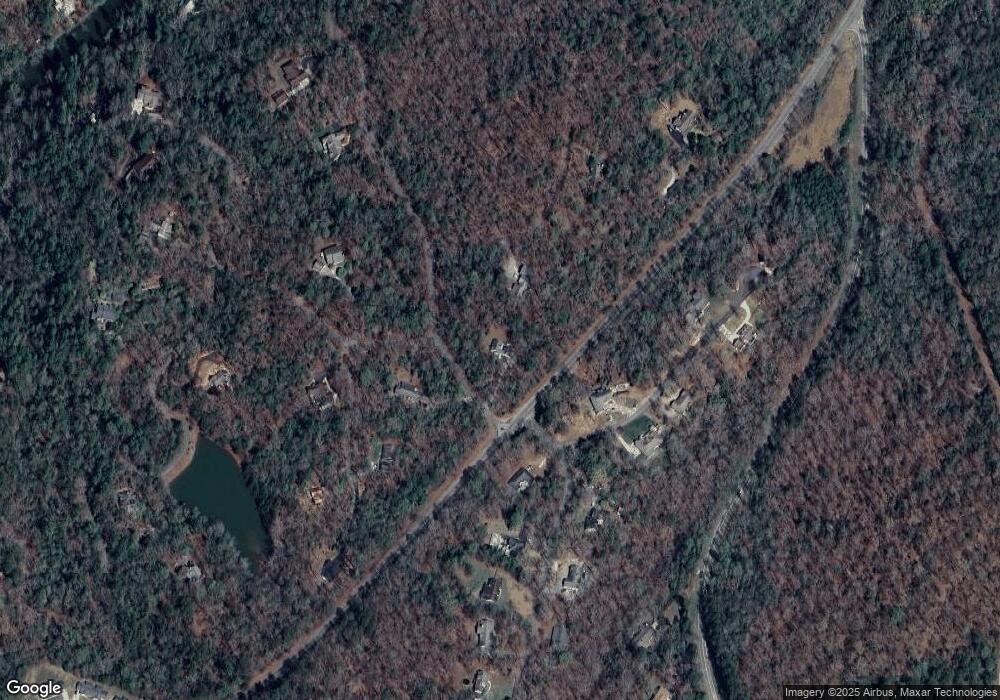
Map
Nearby Homes
- 380 Copper Mill Rd
- 202 Indian Trail
- 128 Young Deer Dr
- 0 Arborwood Dr Unit 10645890
- 87 Tolleffs Trail
- 83 Austin Ct
- 45 Chestatee River Ridge
- 6480 Highway 52 W
- 16 Welch Cir
- 86.99 Acres Mincie Mountain
- 496 Beaver Dam Rd
- 0 Bearden Rd Unit 10598024
- 0 Bearden Rd Unit 7642996
- 23.86 Acres Mincie Mountain
- 20.65 Acres Mincie Mountain
- 42.65 Acres Mincie Mountain
- 600 Chapman Ridge Ln
- 500 Chapman Ridge Ln
- 46 Sunset Trail
- 29 Timberline Trail
- 49 Bilmore Ln
- 22 Bilmore Ln
- 81 Lake Point Dr
- 0 Bilmore Ln Unit 3289132
- 0 Bilmore Ln Unit 7179747
- 0 Bilmore Ln Unit 5067322
- 0 Bilmore Ln Unit 5622954
- 0 Bilmore Ln Unit 7010987
- 0 Bilmore Ln Unit 7044010
- 0 Bilmore Ln Unit 7268794
- TBD Lake Point Dr
- LOT 22 Bilmore Ln
- 90 Copper Mill Rd
- 146 Copper Mill Rd
- 24 Copper Mill Rd
- 53 Lake Point Dr
- 56 Lake Point Dr
- 14 Lake Point Dr Unit 54