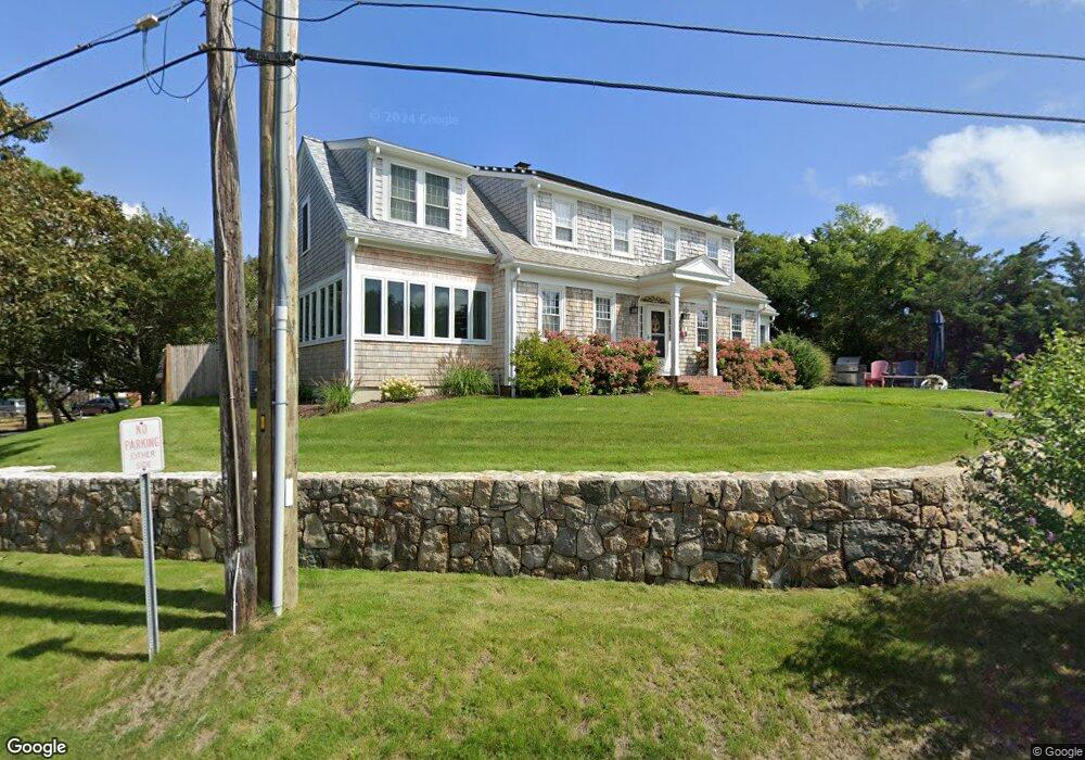
18 Union Wharf Rd Dennis Port, MA 02639
Dennis Port NeighborhoodEstimated Value: $1,035,000 - $1,828,760
4
Beds
2
Baths
2,223
Sq Ft
$598/Sq Ft
Est. Value
About This Home
This home is located at 18 Union Wharf Rd, Dennis Port, MA 02639 and is currently estimated at $1,328,690, approximately $597 per square foot. 18 Union Wharf Rd is a home located in Barnstable County with nearby schools including Dennis-Yarmouth Regional High School and St. Pius X. School.
Ownership History
Date
Name
Owned For
Owner Type
Purchase Details
Closed on
Mar 1, 2019
Sold by
Marianne R Tompkins Ret
Bought by
Union Wharf 2019 T
Current Estimated Value
Purchase Details
Closed on
Feb 11, 2011
Sold by
Kbeaudry Barbara K Est
Bought by
Marianne R Tompkins Re
Purchase Details
Closed on
Sep 8, 2010
Sold by
Beaudry Thomas E
Bought by
Beaudry Barbara K
Create a Home Valuation Report for This Property
The Home Valuation Report is an in-depth analysis detailing your home's value as well as a comparison with similar homes in the area
Home Values in the Area
Average Home Value in this Area
Purchase History
| Date | Buyer | Sale Price | Title Company |
|---|---|---|---|
| Union Wharf 2019 T | -- | -- | |
| Marianne R Tompkins Re | $540,000 | -- | |
| Beaudry Barbara K | -- | -- |
Source: Public Records
Tax History Compared to Growth
Tax History
| Year | Tax Paid | Tax Assessment Tax Assessment Total Assessment is a certain percentage of the fair market value that is determined by local assessors to be the total taxable value of land and additions on the property. | Land | Improvement |
|---|---|---|---|---|
| 2025 | $5,701 | $1,316,600 | $434,500 | $882,100 |
| 2024 | $4,642 | $1,057,400 | $417,900 | $639,500 |
| 2023 | $4,315 | $923,900 | $341,900 | $582,000 |
| 2022 | $4,170 | $744,700 | $308,000 | $436,700 |
| 2021 | $4,103 | $680,400 | $301,900 | $378,500 |
| 2020 | $4,020 | $659,000 | $301,900 | $357,100 |
| 2019 | $3,796 | $615,200 | $296,000 | $319,200 |
| 2018 | $3,770 | $594,700 | $281,800 | $312,900 |
| 2017 | $3,657 | $594,700 | $281,800 | $312,900 |
| 2016 | $3,855 | $590,300 | $322,000 | $268,300 |
| 2015 | $3,778 | $590,300 | $322,000 | $268,300 |
| 2014 | $3,696 | $582,100 | $322,000 | $260,100 |
Source: Public Records
Map
Nearby Homes
- 102 Sea St
- 402 Old Wharf Rd
- 402 Old Wharf Rd
- 405 Old Wharf Rd Unit B204
- 405 Old Wharf Rd Unit B204
- 22 Ferncliff Rd
- 37-A Beach Hills Rd
- 37 Beach Hills Rd
- 262 Old Wharf Rd Unit 67
- 262 Old Wharf Rd Unit 5
- 262 Old Wharf Rd Unit 5
- 262 Old Wharf Rd Unit 20
- 262 Old Wharf Rd Unit 87
- 9 Chase Ave Unit 6
- 11 Ocean Park W
- 241 Old Wharf Rd Unit 82
- 241 Old Wharf Rd Unit 127
- 241 Old Wharf Rd Unit 90
- 217 Old Wharf Rd Unit 64
- 12 Cross St
- 14 Union Wharf Rd
- 353 Old Wharf Rd
- 15 Union Wharf Rd
- 354 Old Wharf Rd
- 356 Old Wharf Rd Unit 2
- 354 Old Wharf Rd Unit 1
- 7 Union Wharf Rd
- 358 Old Wharf Rd
- 25 Union Wharf Rd Unit 29
- 25 Union Wharf Rd Unit 29
- 25 Union Wharf Rd Unit 29
- 25 Union Wharf Rd Unit 3
- 25 Union Wharf Rd Unit 2
- 25 Union Wharf Rd Unit 1
- 25 Union Wharf Rd
- 340 Old Wharf Rd Unit 4
- 30 Union Wharf Rd Unit 4
- 30 Union Wharf Rd Unit 3
- 30 Union Wharf Rd Unit 2
- 30 Union Wharf Rd Unit 1