18 Upland Ln Harpswell, ME 04079
Harpswell NeighborhoodEstimated Value: $729,024 - $1,109,000
3
Beds
4
Baths
2,056
Sq Ft
$441/Sq Ft
Est. Value
About This Home
This home is located at 18 Upland Ln, Harpswell, ME 04079 and is currently estimated at $906,341, approximately $440 per square foot. 18 Upland Ln is a home with nearby schools including Mt Ararat High School.
Create a Home Valuation Report for This Property
The Home Valuation Report is an in-depth analysis detailing your home's value as well as a comparison with similar homes in the area
Home Values in the Area
Average Home Value in this Area
Tax History
| Year | Tax Paid | Tax Assessment Tax Assessment Total Assessment is a certain percentage of the fair market value that is determined by local assessors to be the total taxable value of land and additions on the property. | Land | Improvement |
|---|---|---|---|---|
| 2024 | $3,130 | $492,100 | $103,200 | $388,900 |
| 2023 | $3,002 | $492,100 | $103,200 | $388,900 |
| 2022 | $2,903 | $492,100 | $103,200 | $388,900 |
| 2021 | $2,849 | $421,500 | $99,900 | $321,600 |
| 2020 | $11,397 | $421,500 | $99,900 | $321,600 |
| 2019 | $222 | $421,500 | $99,900 | $321,600 |
| 2018 | $208 | $421,500 | $99,900 | $321,600 |
| 2017 | $9,979 | $421,500 | $99,900 | $321,600 |
| 2016 | $2,698 | $421,500 | $99,900 | $321,600 |
| 2015 | $2,630 | $421,500 | $99,900 | $321,600 |
| 2013 | $2,436 | $421,500 | $99,900 | $321,600 |
Source: Public Records
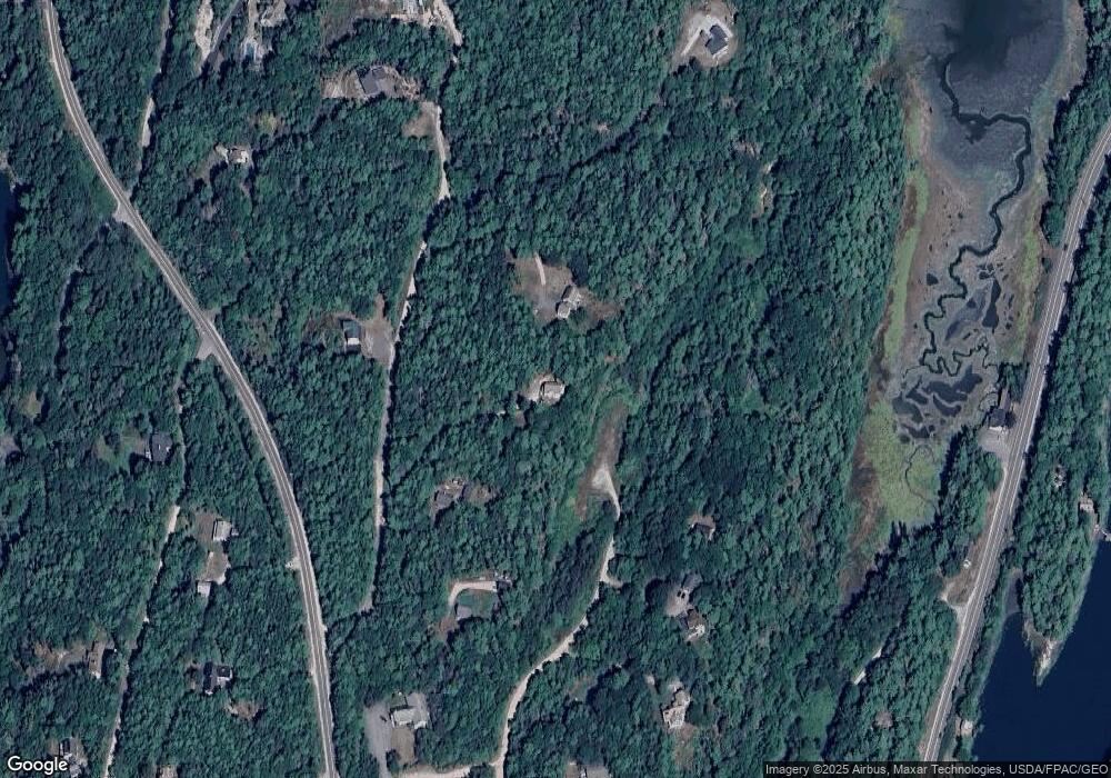
Map
Nearby Homes
- 30 Driftwood Tide Ln
- lot C Long Point Rd
- 242 Long Reach Ln
- 21 Spring Hill Rd
- 0 Bayview Rd Unit 2 1632776
- Lot 2B Allen Point Rd
- 1 Mallard Pond Rd
- Map 80 Lot 18-0 White Island
- 87 Lowells Cove Rd
- 646 Gurnet Rd
- 29 & 30 Nob Hill Ave
- 46 Blackstone Club Rd
- 0 Gundalo Gap Rd Unit 1638108
- 1450 Harpswell Neck Rd
- 83 Central Ave
- 260 Coombs Rd
- 250 Mere Point Rd
- 6 Chebeague Ln
- 291 Maquoit Rd
- 1682 &1676 Main Rd
Your Personal Tour Guide
Ask me questions while you tour the home.