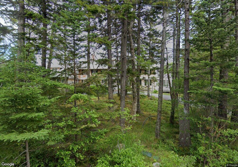
18 Upland Rd Mount Desert, ME 04660
Estimated Value: $805,000 - $3,500,281
9
Beds
5
Baths
6,418
Sq Ft
$335/Sq Ft
Est. Value
About This Home
This home is located at 18 Upland Rd, Mount Desert, ME 04660 and is currently estimated at $2,152,641, approximately $335 per square foot. 18 Upland Rd is a home with nearby schools including Mt Desert Elementary School and Mt. Desert Island High School.
Ownership History
Date
Name
Owned For
Owner Type
Purchase Details
Closed on
Dec 10, 2014
Sold by
Greenan Eleanor
Bought by
Halpern Jon L
Current Estimated Value
Create a Home Valuation Report for This Property
The Home Valuation Report is an in-depth analysis detailing your home's value as well as a comparison with similar homes in the area
Home Values in the Area
Average Home Value in this Area
Purchase History
| Date | Buyer | Sale Price | Title Company |
|---|---|---|---|
| Halpern Jon L | -- | -- |
Source: Public Records
Tax History Compared to Growth
Tax History
| Year | Tax Paid | Tax Assessment Tax Assessment Total Assessment is a certain percentage of the fair market value that is determined by local assessors to be the total taxable value of land and additions on the property. | Land | Improvement |
|---|---|---|---|---|
| 2024 | $21,492 | $2,311,000 | $1,342,700 | $968,300 |
| 2023 | $19,086 | $2,188,800 | $1,220,500 | $968,300 |
| 2022 | $17,598 | $2,188,800 | $1,220,500 | $968,300 |
| 2021 | $17,681 | $2,143,100 | $1,445,300 | $697,800 |
| 2020 | $17,102 | $2,143,100 | $1,445,300 | $697,800 |
| 2019 | $17,038 | $2,143,100 | $1,445,300 | $697,800 |
| 2018 | $16,036 | $2,090,700 | $1,445,300 | $645,400 |
| 2017 | $14,869 | $2,003,900 | $1,445,300 | $558,600 |
| 2016 | $14,092 | $1,938,400 | $1,445,300 | $493,100 |
| 2015 | $17,949 | $2,524,500 | $1,745,900 | $778,600 |
| 2013 | $17,116 | $2,524,500 | $1,745,900 | $778,600 |
Source: Public Records
Map
Nearby Homes
- 0 Rock Garden Dr
- 93 Cooksey Dr
- 6 Cliffhanger
- 52 Rock Garden Dr
- 8 Wildwood-Seal Harbor Rd
- 17 Otter Creek Dr
- 4 Highlands (Northeast Hrbr) Ln
- 20 Main St
- 87 Peabody Drive (Northeast Hrbr)
- 6 Sea St
- 6 Gilpatrick Ln
- 30 Neighborhood Rd
- 49 Summit Rd
- 16 Millbrook-Northeast Harbor Rd
- 65 Summit Rd
- 3 and 5 Graves Lane Harbor NE
- 77 Manchester Rd
- 30 Dog Point Rd
- 463 Seawall Rd
- 332 Seawall Rd
- 18 Upland Road Seal Harbor
- 22 Upland Rd
- 19 Upland Rd
- 14 Upland Rd
- 46 Rowland Rd
- 8 Ocean View Ln
- 1 Upland Rd
- 12 Rowland Rd
- 5 Ocean View Lane-Seal Harbor
- 34 Upland Rd
- 88 Cooksey Dr
- 5 Ocean View Ln
- 66 Rowland Rd
- 20 Rowland Rd
- 25 Rowland Rd
- 5 Rowland Rd
- 21 Rowland Rd
- Lot 4 Rock Garden Way
- 20 New Country Rd
- 95 Cooksey Dr