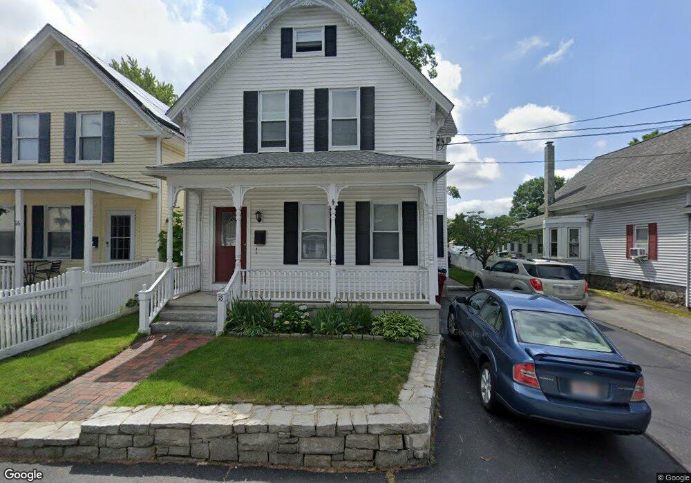
18 W Meadow Rd Unit 101 Lowell, MA 01854
Pawtucketville NeighborhoodEstimated Value: $551,000 - $648,000
1
Bed
1
Bath
610
Sq Ft
$965/Sq Ft
Est. Value
About This Home
This home is located at 18 W Meadow Rd Unit 101, Lowell, MA 01854 and is currently estimated at $588,668, approximately $965 per square foot. 18 W Meadow Rd Unit 101 is a home located in Middlesex County with nearby schools including Joseph McAvinnue Elementary School, Charlotte M. Murkland Elementary School, and Charles W. Morey Elementary School.
Ownership History
Date
Name
Owned For
Owner Type
Purchase Details
Closed on
Jan 5, 1990
Sold by
Sullivan Joseph
Bought by
Leah Walter
Current Estimated Value
Create a Home Valuation Report for This Property
The Home Valuation Report is an in-depth analysis detailing your home's value as well as a comparison with similar homes in the area
Home Values in the Area
Average Home Value in this Area
Purchase History
| Date | Buyer | Sale Price | Title Company |
|---|---|---|---|
| Leah Walter | $139,750 | -- | |
| Leah Walter | $139,750 | -- |
Source: Public Records
Mortgage History
| Date | Status | Borrower | Loan Amount |
|---|---|---|---|
| Open | Leah Walter | $100,000 | |
| Closed | Leah Walter | $130,300 | |
| Closed | Leah Walter | $10,000 |
Source: Public Records
Tax History Compared to Growth
Tax History
| Year | Tax Paid | Tax Assessment Tax Assessment Total Assessment is a certain percentage of the fair market value that is determined by local assessors to be the total taxable value of land and additions on the property. | Land | Improvement |
|---|---|---|---|---|
| 2025 | $5,709 | $497,300 | $121,100 | $376,200 |
| 2024 | $5,307 | $445,600 | $113,100 | $332,500 |
| 2023 | $4,934 | $397,300 | $98,400 | $298,900 |
| 2022 | $4,567 | $359,900 | $89,500 | $270,400 |
| 2021 | $4,235 | $314,600 | $77,800 | $236,800 |
| 2020 | $3,976 | $297,600 | $79,300 | $218,300 |
| 2019 | $3,737 | $266,200 | $69,900 | $196,300 |
| 2018 | $3,487 | $242,300 | $66,500 | $175,800 |
| 2017 | $3,297 | $221,000 | $60,500 | $160,500 |
| 2016 | $3,288 | $216,900 | $56,400 | $160,500 |
| 2015 | $3,022 | $195,200 | $55,200 | $140,000 |
| 2013 | $2,817 | $187,700 | $69,400 | $118,300 |
Source: Public Records
Map
Nearby Homes
- 33 W Meadow Rd
- 49 Tolman Ave
- 1410 Skyline Dr Unit 9
- 1710 Skyline Dr Unit 10
- 1600 Skyline Dr Unit 2
- 61 7th Ave W
- 199 Mammoth Rd
- 382 University Ave
- 1820 Skyline Dr Unit 18
- 380 University Ave
- 25 W 5th Ave
- 81 5th Ave
- 54 Mount Grove St
- 30 4th Ave
- 113 5th Ave
- 35 Honora Ave
- 115 Avon St
- 89 Mammoth Rd
- 10 3rd Ave
- 1 Coburn Ct
- 18 W Meadow Rd
- 16 W Meadow Rd
- 24 W Meadow Rd
- 10 W Meadow Rd
- 30 W Meadow Rd
- 334 Mammoth Rd
- 15 W Meadow Rd
- 27 W Meadow Rd
- 342 Mammoth Rd
- 36 W Meadow Rd
- 328 Mammoth Rd
- 33 W Meadow Rd Unit 57
- 358 Mammoth Rd
- 356A Mammoth Raod
- Lot2 West Meadow
- 1 W Meadow Rd
- 44 W Meadow Rd
- 24 Wellworth St
- 37 W Meadow Rd
- 316 Mammoth Rd