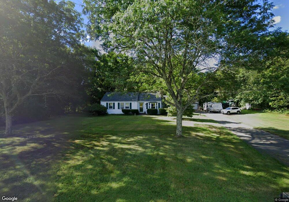
18 W Mountain Rd West Simsbury, CT 06092
Estimated Value: $348,566 - $407,000
3
Beds
2
Baths
1,200
Sq Ft
$320/Sq Ft
Est. Value
About This Home
This home is located at 18 W Mountain Rd, West Simsbury, CT 06092 and is currently estimated at $383,642, approximately $319 per square foot. 18 W Mountain Rd is a home located in Hartford County with nearby schools including Tootin' Hills School, Henry James Memorial School, and Simsbury High School.
Ownership History
Date
Name
Owned For
Owner Type
Purchase Details
Closed on
Apr 19, 2011
Sold by
18 W Mountain Road Llc
Bought by
Vincent Michael J
Current Estimated Value
Home Financials for this Owner
Home Financials are based on the most recent Mortgage that was taken out on this home.
Original Mortgage
$100,000
Outstanding Balance
$38,745
Interest Rate
4.88%
Mortgage Type
Stand Alone Second
Estimated Equity
$344,897
Create a Home Valuation Report for This Property
The Home Valuation Report is an in-depth analysis detailing your home's value as well as a comparison with similar homes in the area
Home Values in the Area
Average Home Value in this Area
Purchase History
| Date | Buyer | Sale Price | Title Company |
|---|---|---|---|
| Vincent Michael J | -- | -- |
Source: Public Records
Mortgage History
| Date | Status | Borrower | Loan Amount |
|---|---|---|---|
| Open | Vincent Michael J | $100,000 | |
| Previous Owner | Vincent Michael J | $82,000 |
Source: Public Records
Tax History Compared to Growth
Tax History
| Year | Tax Paid | Tax Assessment Tax Assessment Total Assessment is a certain percentage of the fair market value that is determined by local assessors to be the total taxable value of land and additions on the property. | Land | Improvement |
|---|---|---|---|---|
| 2025 | $6,796 | $198,940 | $93,590 | $105,350 |
| 2024 | $6,627 | $198,940 | $93,590 | $105,350 |
| 2023 | $6,330 | $198,940 | $93,590 | $105,350 |
| 2022 | $6,422 | $166,250 | $104,120 | $62,130 |
| 2021 | $6,422 | $166,250 | $104,120 | $62,130 |
| 2020 | $6,166 | $166,250 | $104,120 | $62,130 |
| 2019 | $6,204 | $166,250 | $104,120 | $62,130 |
| 2018 | $6,249 | $166,250 | $104,120 | $62,130 |
| 2017 | $5,747 | $148,280 | $88,430 | $59,850 |
| 2016 | $5,504 | $148,280 | $88,430 | $59,850 |
| 2015 | $5,504 | $148,280 | $88,430 | $59,850 |
| 2014 | $5,507 | $148,280 | $88,430 | $59,850 |
Source: Public Records
Map
Nearby Homes
- 18 Meadowlark Rd
- 10 Sachems Trail
- 8 Quorn Hunt Rd
- 143 N Mountain Rd
- 21 Christmas Tree Hill
- 23 Red Fox Run
- 15 Red Fox Run
- 391 Cherry Brook Rd
- 16 Stratton Forest Way
- 537 Cherry Brook Rd
- 35 Rustle Meadow Ln
- 121 Gracey Rd
- 301 Bushy Hill Rd
- 247 Old Farms Rd
- 269 W Mountain Rd
- 265 E Hill Rd
- 42 Garrett Rd
- 40 Firetown Rd Unit 39
- 395 Bushy Hill Rd
- 11 Timbercrest Dr
- 1 Sugar Hollow Ln
- 24 W Mountain Rd
- 3 Sugar Hollow Ln
- 5 Sugar Hollow Ln
- 30 W Mountain Rd
- 2 Sugar Hollow Ln
- 7 Sugar Hollow Ln
- 29 W Mountain Rd
- 1 Westledge Rd
- 265 Farms Village Rd
- 36 W Mountain Rd
- 9 Sugar Hollow Ln
- 33 W Mountain Rd
- 6 Sugar Hollow Ln
- 38 W Mountain Rd
- 257 Farms Village Rd
- 11 Sugar Hollow Ln
- 8 Westledge Rd
- 8 Sugar Hollow Ln
- 261 Farms Village Rd