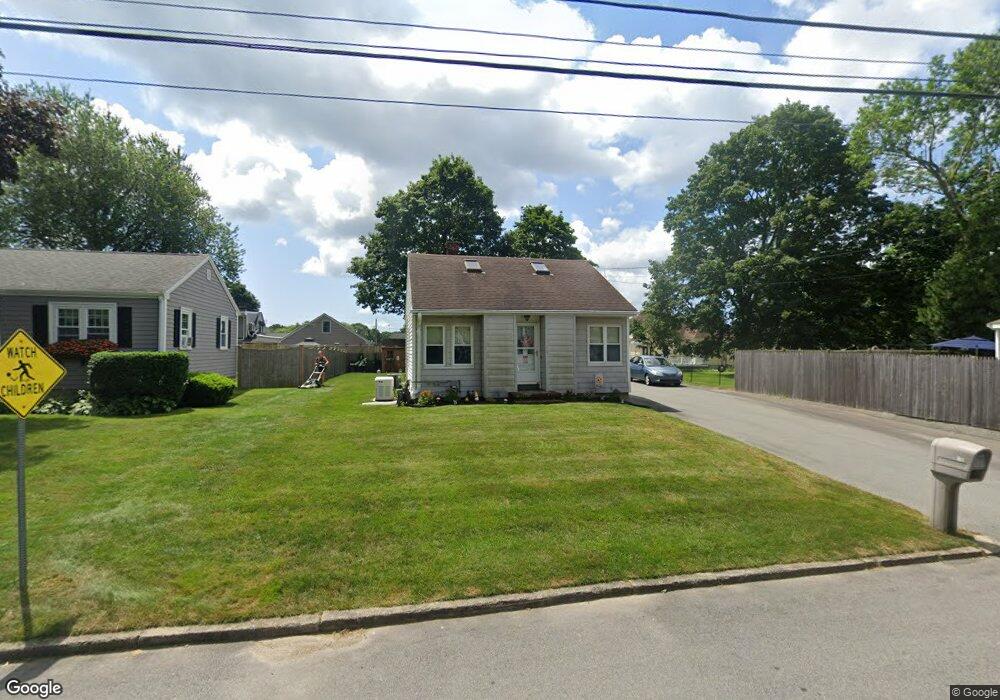
18 Wamsutta Ave Acushnet, MA 02743
Upper Acushnet NeighborhoodEstimated Value: $327,000 - $520,000
1
Bed
1
Bath
600
Sq Ft
$669/Sq Ft
Est. Value
About This Home
This home is located at 18 Wamsutta Ave, Acushnet, MA 02743 and is currently estimated at $401,151, approximately $668 per square foot. 18 Wamsutta Ave is a home located in Bristol County with nearby schools including Acushnet Elementary School, Albert F Ford Middle School, and Alma Del Mar Charter School.
Ownership History
Date
Name
Owned For
Owner Type
Purchase Details
Closed on
Dec 22, 2020
Sold by
Ilene C Nichols Irt and Nichols
Bought by
Nichols Joy L
Current Estimated Value
Purchase Details
Closed on
Mar 18, 2011
Sold by
Nichols Ilene C
Bought by
Lene C Nichols Irt and Nichols
Purchase Details
Closed on
Nov 5, 2009
Sold by
Woodacre Andrew J and Woodacre Dianne Y
Bought by
Nichols Ilene C
Purchase Details
Closed on
Jul 19, 2005
Sold by
Bkb Mgmt Llc
Bought by
Woodacre Andrew J and Woodacre Dianne Y
Purchase Details
Closed on
Feb 14, 2005
Sold by
Camillo Cynthia L and Medeiros Eva E
Bought by
Bkb Mgmt Llc
Create a Home Valuation Report for This Property
The Home Valuation Report is an in-depth analysis detailing your home's value as well as a comparison with similar homes in the area
Home Values in the Area
Average Home Value in this Area
Purchase History
| Date | Buyer | Sale Price | Title Company |
|---|---|---|---|
| Nichols Joy L | -- | None Available | |
| Lene C Nichols Irt | -- | -- | |
| Nichols Ilene C | $219,000 | -- | |
| Woodacre Andrew J | $227,000 | -- | |
| Bkb Mgmt Llc | $150,000 | -- |
Source: Public Records
Mortgage History
| Date | Status | Borrower | Loan Amount |
|---|---|---|---|
| Previous Owner | Bkb Mgmt Llc | $188,000 | |
| Previous Owner | Bkb Mgmt Llc | $21,000 |
Source: Public Records
Tax History Compared to Growth
Tax History
| Year | Tax Paid | Tax Assessment Tax Assessment Total Assessment is a certain percentage of the fair market value that is determined by local assessors to be the total taxable value of land and additions on the property. | Land | Improvement |
|---|---|---|---|---|
| 2025 | $36 | $329,800 | $118,900 | $210,900 |
| 2024 | $3,432 | $300,800 | $112,700 | $188,100 |
| 2023 | $3,298 | $274,800 | $102,200 | $172,600 |
| 2022 | $3,296 | $248,400 | $96,000 | $152,400 |
| 2021 | $3,157 | $228,300 | $96,000 | $132,300 |
| 2020 | $3,095 | $222,000 | $89,700 | $132,300 |
| 2019 | $2,938 | $207,200 | $85,500 | $121,700 |
| 2018 | $2,848 | $197,500 | $85,500 | $112,000 |
| 2017 | $2,679 | $185,500 | $85,500 | $100,000 |
| 2016 | $2,631 | $181,100 | $85,500 | $95,600 |
| 2015 | $2,498 | $174,900 | $85,500 | $89,400 |
Source: Public Records
Map
Nearby Homes
- 20 Wamsutta Ave
- 14 Wamsutta Ave
- 22 Wamsutta Ave
- 25 Harbeck St
- 17 Wamsutta Ave
- 24 Wamsutta Ave
- 27 Harbeck St
- 8 Wamsutta Ave
- 21 Wamsutta Ave
- 13 Harbeck St
- 11 Wamsutta Ave
- 17 Harbeck St
- 22 Harbeck St
- 26 Wamsutta Ave
- 28 Harbeck St
- 23 Wamsutta Ave
- 6 Wamsutta Ave
- 18 Harbeck St
- 30 Harbeck St
- 28 Wamsutta Ave