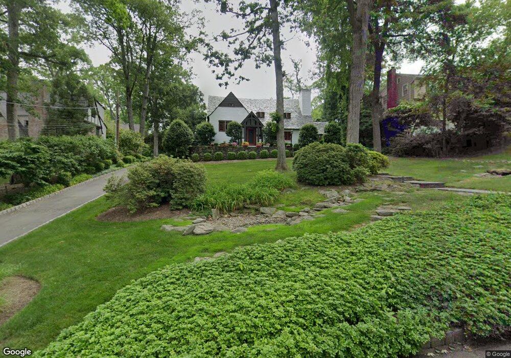
18 Warwick Rd Summit, NJ 07901
Estimated Value: $1,079,000 - $2,263,000
Studio
--
Bath
2,128
Sq Ft
$863/Sq Ft
Est. Value
About This Home
This home is located at 18 Warwick Rd, Summit, NJ 07901 and is currently estimated at $1,835,965, approximately $862 per square foot. 18 Warwick Rd is a home located in Union County with nearby schools including L C Johnson Summit Middle School, Summit Sr High School, and Oak Knoll School of the Holy Child.
Ownership History
Date
Name
Owned For
Owner Type
Purchase Details
Closed on
Aug 30, 2010
Sold by
Ahearn Gregory B and Ahearn Rebecca L
Bought by
Pavalone Joseph A and Grupe Cynthia
Current Estimated Value
Home Financials for this Owner
Home Financials are based on the most recent Mortgage that was taken out on this home.
Original Mortgage
$355,000
Interest Rate
4.39%
Mortgage Type
New Conventional
Purchase Details
Closed on
Sep 16, 2005
Sold by
Kuenstner Nancy Jo
Bought by
Ahearn Gregory B and Ahearn Rebecca L
Home Financials for this Owner
Home Financials are based on the most recent Mortgage that was taken out on this home.
Original Mortgage
$700,000
Interest Rate
5.92%
Mortgage Type
New Conventional
Purchase Details
Closed on
Jun 22, 1995
Sold by
Hanna John H and Hanna Martha G
Bought by
Kuenstner Nancy Jo
Create a Home Valuation Report for This Property
The Home Valuation Report is an in-depth analysis detailing your home's value as well as a comparison with similar homes in the area
Home Values in the Area
Average Home Value in this Area
Purchase History
| Date | Buyer | Sale Price | Title Company |
|---|---|---|---|
| Pavalone Joseph A | $1,130,000 | None Available | |
| Ahearn Gregory B | $1,050,000 | -- | |
| Kuenstner Nancy Jo | $640,000 | Beechwood Title Agency Inc |
Source: Public Records
Mortgage History
| Date | Status | Borrower | Loan Amount |
|---|---|---|---|
| Previous Owner | Pavalone Joseph A | $355,000 | |
| Previous Owner | Ahearn Gregory B | $700,000 |
Source: Public Records
Tax History
| Year | Tax Paid | Tax Assessment Tax Assessment Total Assessment is a certain percentage of the fair market value that is determined by local assessors to be the total taxable value of land and additions on the property. | Land | Improvement |
|---|---|---|---|---|
| 2025 | $22,412 | $514,500 | $303,200 | $211,300 |
| 2024 | $22,262 | $514,500 | $303,200 | $211,300 |
| 2023 | $22,262 | $514,500 | $303,200 | $211,300 |
| 2022 | $22,036 | $514,500 | $303,200 | $211,300 |
| 2021 | $22,211 | $514,500 | $303,200 | $211,300 |
| 2020 | $22,432 | $514,500 | $303,200 | $211,300 |
| 2019 | $22,458 | $514,500 | $303,200 | $211,300 |
| 2018 | $22,314 | $514,500 | $303,200 | $211,300 |
| 2017 | $22,458 | $514,500 | $303,200 | $211,300 |
| 2016 | $22,129 | $514,500 | $303,200 | $211,300 |
| 2015 | $26,209 | $621,500 | $303,200 | $318,300 |
| 2014 | $25,531 | $621,500 | $303,200 | $318,300 |
Source: Public Records
Map
Nearby Homes
- 4 Parkview Terrace
- 709 Springfield Ave Unit One
- 709 Springfield Ave Unit 4
- 709 Springfield Ave Unit 2
- 709 Springfield Ave Unit 3
- 105 Larned Rd
- 67 Tulip St
- 61 Tulip St
- 64 Tulip St
- 25 Division Ave
- 22 Brook Hollow Ln
- 40 Prospect St
- 62 Mountain Ave
- 20 Pittsford Way
- 69 Elm St
- 65 Seven Oaks Dr
- 157 Grant Ave
- 15 Alison Ct
- 49 the Fellsway
- 17 Badgley Dr
Your Personal Tour Guide
Ask me questions while you tour the home.