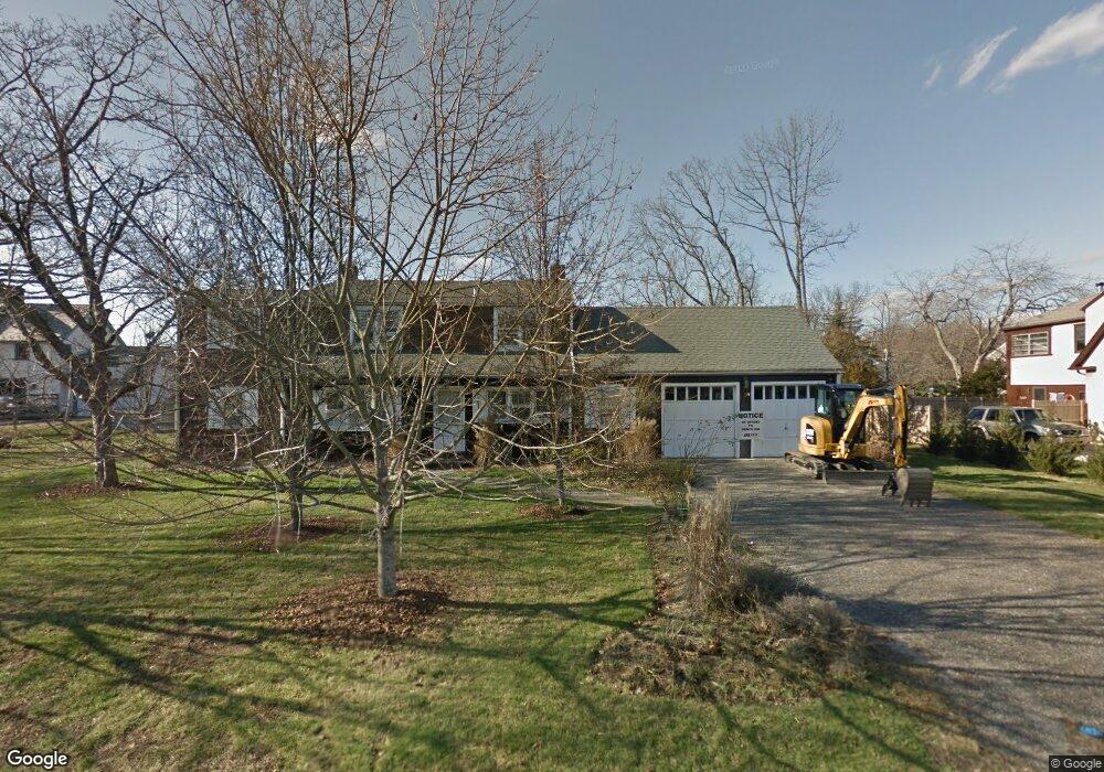
18 Waverly Rd Darien, CT 06820
Estimated Value: $3,154,000 - $4,646,850
5
Beds
6
Baths
4,526
Sq Ft
$890/Sq Ft
Est. Value
About This Home
This home is located at 18 Waverly Rd, Darien, CT 06820 and is currently estimated at $4,029,963, approximately $890 per square foot. 18 Waverly Rd is a home located in Fairfield County with nearby schools including Hindley Elementary School, Middlesex Middle School, and Darien High School.
Ownership History
Date
Name
Owned For
Owner Type
Purchase Details
Closed on
Jul 23, 2015
Sold by
Wharton Charlers J and Wharton Terryl T
Bought by
Franchetti Peter M and Franchetti Megan M
Current Estimated Value
Home Financials for this Owner
Home Financials are based on the most recent Mortgage that was taken out on this home.
Original Mortgage
$1,240,000
Interest Rate
2.88%
Mortgage Type
Adjustable Rate Mortgage/ARM
Purchase Details
Closed on
Sep 5, 2006
Sold by
Wharton Charles J and Wharton Terryl T
Bought by
Wharton Charles J and Wharton Terryl T
Create a Home Valuation Report for This Property
The Home Valuation Report is an in-depth analysis detailing your home's value as well as a comparison with similar homes in the area
Home Values in the Area
Average Home Value in this Area
Purchase History
| Date | Buyer | Sale Price | Title Company |
|---|---|---|---|
| Franchetti Peter M | $1,550,000 | -- | |
| Wharton Charles J | -- | -- |
Source: Public Records
Mortgage History
| Date | Status | Borrower | Loan Amount |
|---|---|---|---|
| Open | Wharton Charles J | $2,000,000 | |
| Closed | Wharton Charles J | $1,240,000 | |
| Previous Owner | Wharton Charles J | $250,000 | |
| Previous Owner | Wharton Charles J | $250,000 |
Source: Public Records
Tax History Compared to Growth
Tax History
| Year | Tax Paid | Tax Assessment Tax Assessment Total Assessment is a certain percentage of the fair market value that is determined by local assessors to be the total taxable value of land and additions on the property. | Land | Improvement |
|---|---|---|---|---|
| 2025 | $35,750 | $2,309,440 | $1,361,150 | $948,290 |
| 2024 | $33,926 | $2,309,440 | $1,361,150 | $948,290 |
| 2023 | $32,508 | $1,845,970 | $972,230 | $873,740 |
| 2022 | $31,806 | $1,845,970 | $972,230 | $873,740 |
| 2021 | $31,086 | $1,845,970 | $972,230 | $873,740 |
| 2020 | $30,200 | $1,845,970 | $972,230 | $873,740 |
| 2019 | $30,403 | $1,845,970 | $972,230 | $873,740 |
| 2018 | $32,095 | $1,995,980 | $972,230 | $1,023,750 |
| 2017 | $15,711 | $972,230 | $972,230 | $0 |
| 2016 | $18,134 | $1,149,890 | $972,230 | $177,660 |
| 2015 | $16,796 | $1,094,170 | $972,230 | $121,940 |
| 2014 | -- | $1,094,170 | $972,230 | $121,940 |
Source: Public Records
Map
Nearby Homes
- 5 Mayflower Rd
- 5 Shipway Rd
- 92 Pear Tree Point Rd
- 88 Pear Tree Point Rd
- 28 Aquila Rd
- 33 Dora St
- 3 Dean St Unit B2
- 86 Wallacks Dr
- 55 Avery St
- 16 Neponsit St
- 214 Seaside Ave
- 214 Seaside Ave Unit 2
- 120 Webb Ave
- 209 Seaside Ave Unit 2
- 15 Robin St
- 105 Houston Terrace
- 114 Sylvan Knoll Rd
- 737 Cove Rd Unit D2
- 53 Noroton Ave
- 697 Cove Rd Unit 1E
- 184 Nearwater Ln
- 22 Waverly Rd
- 17 Waverly Rd
- 186 Nearwater Ln
- 21 Waverly Rd
- 180 Nearwater Ln
- 24 Waverly Rd
- 15 Waverly Rd
- 178 Nearwater Ln
- 18 Mayflower Rd
- 23 Waverly Rd
- 16 Mayflower Rd
- 20 Mayflower Rd
- 26 Waverly Rd
- 188 Nearwater Ln
- 176 Nearwater Ln
- 12 Mayflower Rd
- 11 Waverly Rd
- 12 Waverly Rd
- 11 Mayflower Rd