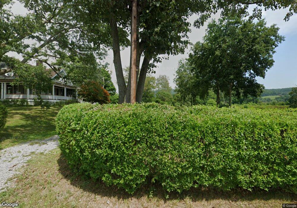
18 Webster Rd Wellsboro, PA 16901
Estimated Value: $462,000 - $668,000
4
Beds
2
Baths
2,830
Sq Ft
$196/Sq Ft
Est. Value
About This Home
This home is located at 18 Webster Rd, Wellsboro, PA 16901 and is currently estimated at $555,289, approximately $196 per square foot. 18 Webster Rd is a home located in Tioga County with nearby schools including Charlotte Lappla Elementary School, Don Gill Elementary School, and Rock L. Butler Middle School.
Ownership History
Date
Name
Owned For
Owner Type
Purchase Details
Closed on
Feb 5, 2007
Sold by
Winsor Stephen A and Winsor Kathleen K
Bought by
Ebersole Morman Lynn and Ebersole Beth Ann
Current Estimated Value
Home Financials for this Owner
Home Financials are based on the most recent Mortgage that was taken out on this home.
Original Mortgage
$268,000
Outstanding Balance
$160,520
Interest Rate
6.16%
Mortgage Type
New Conventional
Estimated Equity
$394,769
Create a Home Valuation Report for This Property
The Home Valuation Report is an in-depth analysis detailing your home's value as well as a comparison with similar homes in the area
Home Values in the Area
Average Home Value in this Area
Purchase History
| Date | Buyer | Sale Price | Title Company |
|---|---|---|---|
| Ebersole Morman Lynn | $335,000 | None Available |
Source: Public Records
Mortgage History
| Date | Status | Borrower | Loan Amount |
|---|---|---|---|
| Open | Ebersole Morman Lynn | $268,000 |
Source: Public Records
Tax History Compared to Growth
Tax History
| Year | Tax Paid | Tax Assessment Tax Assessment Total Assessment is a certain percentage of the fair market value that is determined by local assessors to be the total taxable value of land and additions on the property. | Land | Improvement |
|---|---|---|---|---|
| 2025 | $5,360 | $359,000 | $85,310 | $273,690 |
| 2024 | $8,222 | $359,000 | $85,310 | $273,690 |
| 2023 | $2,473 | $91,540 | $13,000 | $78,540 |
| 2022 | $2,473 | $91,540 | $13,000 | $78,540 |
| 2021 | $2,440 | $91,540 | $13,000 | $78,540 |
| 2020 | $2,443 | $91,540 | $13,000 | $78,540 |
| 2019 | $2,410 | $91,540 | $13,000 | $78,540 |
| 2018 | $2,398 | $91,540 | $13,000 | $78,540 |
| 2017 | -- | $91,540 | $13,000 | $78,540 |
| 2016 | $2,363 | $148,930 | $70,390 | $78,540 |
| 2015 | -- | $91,540 | $13,000 | $78,540 |
| 2014 | -- | $91,540 | $13,000 | $78,540 |
Source: Public Records
Map
Nearby Homes
- 6528 & 6520 Route 6
- 1525 Dutch Hill Rd
- 67 West Ave
- 0 Nichols St Unit 31723064
- 104 Nichols St
- 275 Tioga St
- 265 Tioga St
- 7 Hastings St
- 11 Conway St
- 00 Us Highway 6
- PARCEL 056D Us Highway 6
- - Stony Fork Rd
- 00 Stony Fork Rd
- 00 Buena Vista St Lot 1&2
- 2 Buena Vista St
- 00 Buena Vista St Lot 1 2&3
- 1 Buena Vista St
- 3 Buena Vista St
- 72 East Ave
- 75 Central Ave