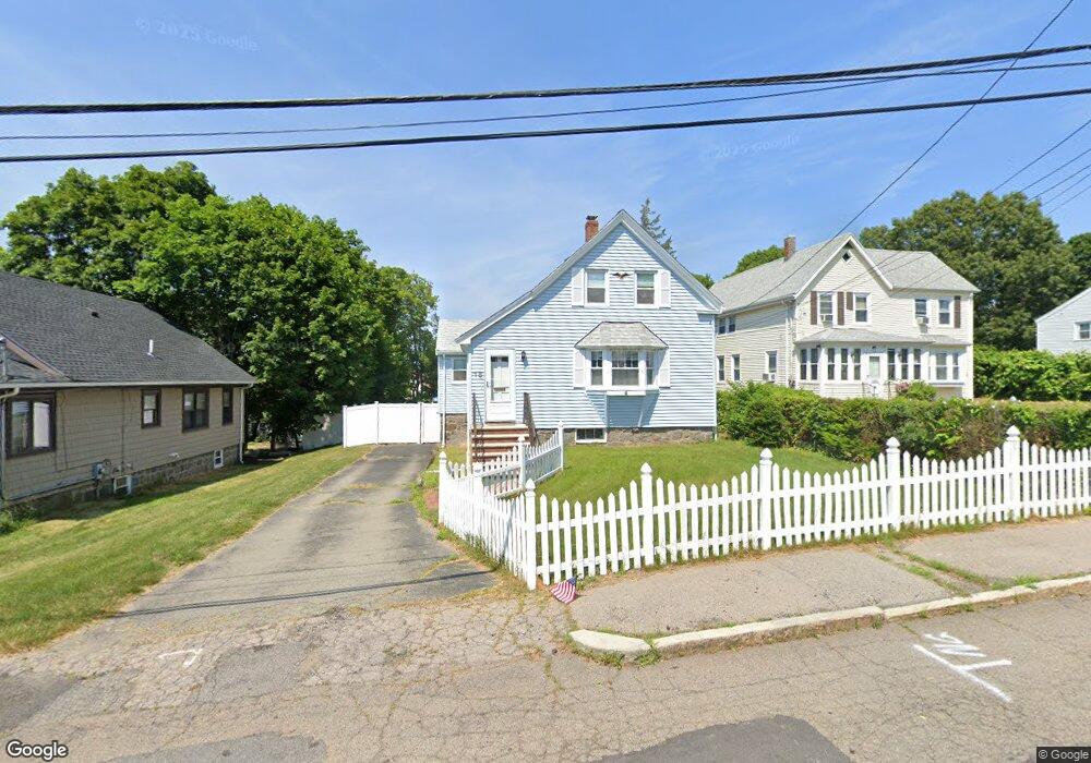
18 Wesson Ave Quincy, MA 02169
Estimated Value: $493,000 - $674,000
2
Beds
1
Bath
718
Sq Ft
$781/Sq Ft
Est. Value
About This Home
This home is located at 18 Wesson Ave, Quincy, MA 02169 and is currently estimated at $560,491, approximately $780 per square foot. 18 Wesson Ave is a home located in Norfolk County with nearby schools including South West Middle School, Lincoln-Hancock Community School, and Quincy High School.
Ownership History
Date
Name
Owned For
Owner Type
Purchase Details
Closed on
Aug 28, 1996
Sold by
Lagasse Kevin J
Bought by
Shaw Michael J
Current Estimated Value
Home Financials for this Owner
Home Financials are based on the most recent Mortgage that was taken out on this home.
Original Mortgage
$113,000
Interest Rate
8.18%
Mortgage Type
Purchase Money Mortgage
Purchase Details
Closed on
Apr 1, 1991
Sold by
Connelly 3D Roderick M and Connelly Lori A
Bought by
Lagasse Kevin J
Create a Home Valuation Report for This Property
The Home Valuation Report is an in-depth analysis detailing your home's value as well as a comparison with similar homes in the area
Purchase History
| Date | Buyer | Sale Price | Title Company |
|---|---|---|---|
| Shaw Michael J | $133,000 | -- | |
| Lagasse Kevin J | $146,000 | -- |
Source: Public Records
Mortgage History
| Date | Status | Borrower | Loan Amount |
|---|---|---|---|
| Open | Lagasse Kevin J | $20,000 | |
| Open | Lagasse Kevin J | $165,000 | |
| Closed | Lagasse Kevin J | $135,000 | |
| Closed | Lagasse Kevin J | $113,000 |
Source: Public Records
Tax History
| Year | Tax Paid | Tax Assessment Tax Assessment Total Assessment is a certain percentage of the fair market value that is determined by local assessors to be the total taxable value of land and additions on the property. | Land | Improvement |
|---|---|---|---|---|
| 2025 | $5,903 | $512,000 | $317,900 | $194,100 |
| 2024 | $5,521 | $489,900 | $303,100 | $186,800 |
| 2023 | $5,187 | $466,000 | $289,000 | $177,000 |
| 2022 | $4,782 | $399,200 | $232,300 | $166,900 |
| 2021 | $4,618 | $380,400 | $232,300 | $148,100 |
| 2020 | $4,477 | $360,200 | $232,300 | $127,900 |
| 2019 | $4,322 | $344,400 | $225,800 | $118,600 |
| 2018 | $4,215 | $316,000 | $209,500 | $106,500 |
| 2017 | $4,230 | $298,500 | $199,800 | $98,700 |
| 2016 | $3,963 | $276,000 | $182,200 | $93,800 |
| 2015 | $3,767 | $258,000 | $172,200 | $85,800 |
| 2014 | $3,654 | $245,900 | $167,700 | $78,200 |
Source: Public Records
Map
Nearby Homes
- 510 Willard St
- 459 Willard St Unit 303
- 36 Village Dr
- 9 Westford St
- 87 Village Dr
- 25 McDonald St
- 51 Branch St Unit 2
- 211 Copeland St
- 132 Centre St
- 57 Buckley St
- 21 Totman St Unit 308
- 21 Totman St Unit 205
- 21 Totman St Unit 404
- 21 Totman St Unit 309
- 21 Totman St Unit 203
- 21 Totman St Unit PH-406
- 21 Totman St Unit 301
- 21 Totman St Unit PH-405
- 21 Totman St Unit 407
- 40 Cross St Unit 1
- 22 Wesson Ave
- 12 Wesson Ave
- 268 West St Unit 8
- 268 West St Unit 3
- 28 Wesson Ave
- 280 West St
- 264R West St
- 264 West St
- 264 West St Unit R
- 260 West St Unit 4
- 260 West St Unit 5
- 260 West St Unit 7
- 260 West St Unit 6
- 260 West St Unit 2
- 260 West St Unit 1
- 260 West St Unit 3
- 17 Wesson Ave
- 32 Wesson Ave
- 21 Wesson Ave
- 27 Wesson Ave
Your Personal Tour Guide
Ask me questions while you tour the home.