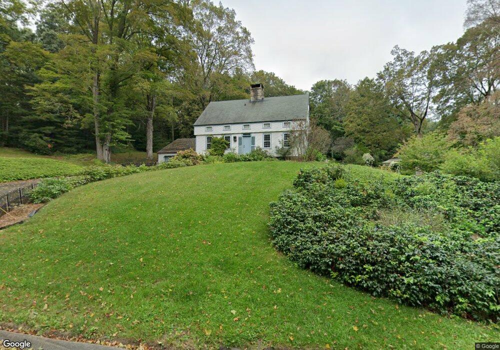
18 Westside Rd Woodbury, CT 06798
Estimated Value: $577,000 - $1,006,000
5
Beds
5
Baths
2,637
Sq Ft
$287/Sq Ft
Est. Value
About This Home
This home is located at 18 Westside Rd, Woodbury, CT 06798 and is currently estimated at $756,170, approximately $286 per square foot. 18 Westside Rd is a home located in Litchfield County with nearby schools including Mitchell Elementary School, Bethlehem Elementary School, and Woodbury Middle School.
Ownership History
Date
Name
Owned For
Owner Type
Purchase Details
Closed on
Jul 28, 2005
Sold by
Palmer Betsey
Bought by
Kaplan Jay and Hoenninger Juan
Current Estimated Value
Home Financials for this Owner
Home Financials are based on the most recent Mortgage that was taken out on this home.
Original Mortgage
$270,000
Interest Rate
5.67%
Purchase Details
Closed on
Jan 2, 2002
Sold by
Est Skinner Howard and Henry Charles
Bought by
Skinner Betsy
Create a Home Valuation Report for This Property
The Home Valuation Report is an in-depth analysis detailing your home's value as well as a comparison with similar homes in the area
Home Values in the Area
Average Home Value in this Area
Purchase History
| Date | Buyer | Sale Price | Title Company |
|---|---|---|---|
| Kaplan Jay | $765,000 | -- | |
| Skinner Betsy | $183,500 | -- |
Source: Public Records
Mortgage History
| Date | Status | Borrower | Loan Amount |
|---|---|---|---|
| Open | Skinner Betsy | $300,000 | |
| Closed | Skinner Betsy | $270,000 |
Source: Public Records
Tax History Compared to Growth
Tax History
| Year | Tax Paid | Tax Assessment Tax Assessment Total Assessment is a certain percentage of the fair market value that is determined by local assessors to be the total taxable value of land and additions on the property. | Land | Improvement |
|---|---|---|---|---|
| 2025 | $10,230 | $433,090 | $88,550 | $344,540 |
| 2024 | $10,035 | $433,090 | $88,550 | $344,540 |
| 2023 | $9,017 | $310,280 | $88,510 | $221,770 |
| 2022 | $9,051 | $310,280 | $88,510 | $221,770 |
| 2021 | $9,051 | $310,280 | $88,510 | $221,770 |
| 2020 | $9,051 | $310,280 | $88,510 | $221,770 |
| 2019 | $9,051 | $310,280 | $88,510 | $221,770 |
| 2018 | $9,413 | $354,150 | $108,360 | $245,790 |
| 2017 | $9,619 | $354,150 | $108,360 | $245,790 |
| 2016 | $9,311 | $354,150 | $108,360 | $245,790 |
| 2015 | $9,233 | $354,150 | $108,360 | $245,790 |
| 2014 | $9,098 | $354,150 | $108,360 | $245,790 |
Source: Public Records
Map
Nearby Homes
- 2 Linden Rd
- 90 Railtree Hill Rd
- 34 Transylvania Rd
- 14 Mountain Rd
- 12 Spring St
- 54 Mountain Rd
- 118 Good Hill Rd
- 5 Old Grassy Hill Rd
- 00-1055 Main St N
- 337 Main St S
- 6 Strong Field Rd
- 31 Woodbury Hill
- 18 Woodbury Hill
- 212 Main St N
- 298 Railtree Hill Rd
- 130 Grassy Hill Rd
- 68 Whittlesey Rd
- 439 Washington Rd
- 229 Bacon Pond Rd Unit 454
- 229 Bacon Pond Rd Unit 332
- 5 Westwood Rd
- 11 Westwood Rd
- 25 Westside Rd
- 7 Westside Rd
- B Westside Rd
- 27 Stone Pit Rd
- 1 Stone Pit Rd
- 0 Westside Rd Unit W1066552
- 0 Westside Rd Unit W10035116
- 0 Westside Rd Unit V10111182
- 00 Westside Rd
- 0 Westside Rd
- 33 Stone Pit Rd
- 139 Judson Ave
- 0 Westwood Rd Unit W1078801
- 0 Westwood Rd
- 7 Stone Pit Rd
- 59 Westside Rd
- 39 River Bend Dr
- 8 Lighthouse Rd