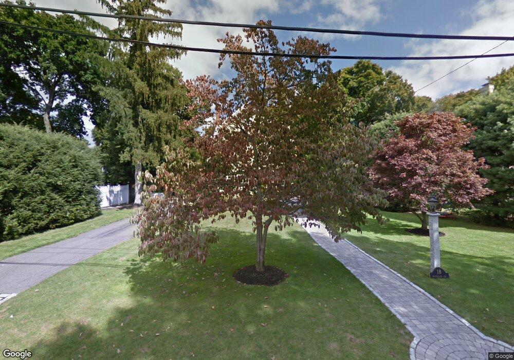
18 Whitelawn Ave Milton, MA 02186
Milton Hill NeighborhoodEstimated Value: $1,710,000 - $2,038,000
4
Beds
3
Baths
3,122
Sq Ft
$598/Sq Ft
Est. Value
About This Home
This home is located at 18 Whitelawn Ave, Milton, MA 02186 and is currently estimated at $1,866,813, approximately $597 per square foot. 18 Whitelawn Ave is a home located in Norfolk County with nearby schools including Milton High School, Conservatory Lab Upper School, and Saint John Paul II Catholic Academy.
Ownership History
Date
Name
Owned For
Owner Type
Purchase Details
Closed on
Sep 10, 2025
Sold by
Robinson Michael B and Robinson Melanie S
Bought by
Michael Bryn Robinson Ft and Robinson
Current Estimated Value
Purchase Details
Closed on
Nov 12, 2009
Sold by
Green David L and Green Patricia D
Bought by
Robinson Michael B and Robinson Melanie S
Create a Home Valuation Report for This Property
The Home Valuation Report is an in-depth analysis detailing your home's value as well as a comparison with similar homes in the area
Home Values in the Area
Average Home Value in this Area
Purchase History
| Date | Buyer | Sale Price | Title Company |
|---|---|---|---|
| Michael Bryn Robinson Ft | -- | -- | |
| Robinson Michael B | $775,000 | -- | |
| Robinson Michael B | $775,000 | -- |
Source: Public Records
Mortgage History
| Date | Status | Borrower | Loan Amount |
|---|---|---|---|
| Previous Owner | Robinson Michael B | $378,000 | |
| Previous Owner | Robinson Michael B | $385,000 |
Source: Public Records
Tax History Compared to Growth
Tax History
| Year | Tax Paid | Tax Assessment Tax Assessment Total Assessment is a certain percentage of the fair market value that is determined by local assessors to be the total taxable value of land and additions on the property. | Land | Improvement |
|---|---|---|---|---|
| 2025 | $15,044 | $1,356,500 | $669,100 | $687,400 |
| 2024 | $14,495 | $1,327,400 | $637,300 | $690,100 |
| 2023 | $14,153 | $1,241,500 | $606,900 | $634,600 |
| 2022 | $13,724 | $1,100,600 | $606,900 | $493,700 |
| 2021 | $12,634 | $962,200 | $492,100 | $470,100 |
| 2020 | $12,535 | $955,400 | $487,300 | $468,100 |
| 2019 | $12,227 | $927,700 | $473,200 | $454,500 |
| 2018 | $12,451 | $901,600 | $454,400 | $447,200 |
| 2017 | $11,658 | $859,700 | $432,700 | $427,000 |
| 2016 | $11,484 | $850,700 | $432,700 | $418,000 |
| 2015 | $11,516 | $826,100 | $419,400 | $406,700 |
Source: Public Records
Map
Nearby Homes
- 20 Herrick Dr
- 4 School St
- 290 Central Ave
- 795 Brook Rd
- 131 Eliot St Unit 312
- 131 Eliot St Unit 408
- 131 Eliot St Unit 305
- 21A High St Unit 2
- 390 Central Ave
- 19 Lantern Ln
- 88 Wharf St Unit 511
- 1245 Adams St Unit B406
- 1245 Adams St Unit B210
- 8-14R Temple St
- 333 Eliot St
- 32 Columbine Rd
- 438 Central Ave Unit 2
- 32-32R Temple St
- 22 Branchfield St Unit D4
- 67 Idaho St
- 22 Whitelawn Ave
- 196 Canton Ave
- 198 Canton Ave
- 194 Canton Ave
- 7 Whitelawn Ave
- 11 Whitelawn Ave
- 192 Canton Ave
- 34 Whitelawn Ave
- 25-27 Whitelawn Ave
- 25 Whitelawn Ave Unit 27
- 230 Canton Ave
- 215 Canton Ave
- 39 Whitelawn Ave
- 180 Canton Ave
- 227 Canton Ave
- 40 Whitelawn Ave
- 242 Canton Ave
- 199 Canton Ave
- 53 Whitelawn Ave
- 167 School St