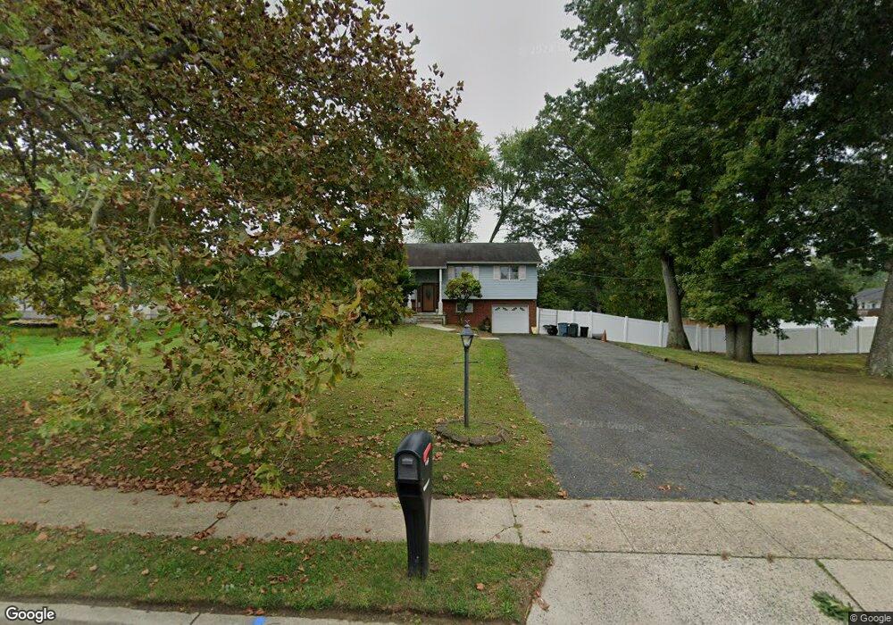
18 Wickatunk Rd Manalapan, NJ 07726
Estimated Value: $693,000 - $774,000
4
Beds
2
Baths
1,960
Sq Ft
$371/Sq Ft
Est. Value
About This Home
This home is located at 18 Wickatunk Rd, Manalapan, NJ 07726 and is currently estimated at $726,578, approximately $370 per square foot. 18 Wickatunk Rd is a home located in Monmouth County with nearby schools including Lafayette Mills Elementary School, Pine Brook Elementary School, and Manalapan-Englishtown Middle School.
Ownership History
Date
Name
Owned For
Owner Type
Purchase Details
Closed on
Jan 3, 2019
Sold by
Gilboy Stephen and Prouty Suzanne
Bought by
Prouty Suzanne and Prouty Scott
Current Estimated Value
Home Financials for this Owner
Home Financials are based on the most recent Mortgage that was taken out on this home.
Original Mortgage
$231,000
Interest Rate
4.4%
Mortgage Type
New Conventional
Purchase Details
Closed on
Apr 16, 2015
Sold by
Gilboy John S
Bought by
Gilboy Stephen and Prouty Suzanne
Home Financials for this Owner
Home Financials are based on the most recent Mortgage that was taken out on this home.
Original Mortgage
$155,000
Interest Rate
3.69%
Mortgage Type
New Conventional
Purchase Details
Closed on
Jan 2, 2014
Sold by
Gilboy Irene
Bought by
Gilboy John and Prouth Suzanne
Create a Home Valuation Report for This Property
The Home Valuation Report is an in-depth analysis detailing your home's value as well as a comparison with similar homes in the area
Home Values in the Area
Average Home Value in this Area
Purchase History
| Date | Buyer | Sale Price | Title Company |
|---|---|---|---|
| Prouty Suzanne | $65,000 | Title Resource Group | |
| Gilboy Stephen | -- | Prestige New Jersey Title Ag | |
| Gilboy John S | -- | Prestige New Jersey Title Ag | |
| Gilboy John | -- | None Available |
Source: Public Records
Mortgage History
| Date | Status | Borrower | Loan Amount |
|---|---|---|---|
| Previous Owner | Prouty Suzanne | $231,000 | |
| Previous Owner | Gilboy John S | $155,000 |
Source: Public Records
Tax History Compared to Growth
Tax History
| Year | Tax Paid | Tax Assessment Tax Assessment Total Assessment is a certain percentage of the fair market value that is determined by local assessors to be the total taxable value of land and additions on the property. | Land | Improvement |
|---|---|---|---|---|
| 2025 | $8,967 | $587,500 | $296,500 | $291,000 |
| 2024 | $7,987 | $531,200 | $296,500 | $234,700 |
| 2023 | $7,987 | $480,000 | $247,000 | $233,000 |
| 2022 | $8,103 | $450,900 | $229,000 | $221,900 |
| 2021 | $7,713 | $390,300 | $193,000 | $197,300 |
| 2020 | $7,713 | $375,700 | $179,500 | $196,200 |
| 2019 | $7,024 | $341,800 | $179,900 | $161,900 |
| 2018 | $6,732 | $325,700 | $156,200 | $169,500 |
| 2017 | $6,580 | $318,500 | $156,200 | $162,300 |
| 2016 | $6,461 | $316,400 | $156,200 | $160,200 |
| 2015 | $5,600 | $271,300 | $131,500 | $139,800 |
| 2014 | $6,381 | $301,000 | $146,600 | $154,400 |
Source: Public Records
Map
Nearby Homes
- 21 Wickatunk Rd
- 25 Highland Dr
- 37 Willow Grove Way
- 11 Woodview Dr
- 23 Eli Cir
- 205 Covered Bridge Blvd Unit K
- 401 Hampton Ct
- 218 Medford Ct Unit A
- 233 Paddington Ct Unit 8-3
- 236 Medford Ct Unit G
- 141 Cross Slope Ct
- 141 Cross Slope Ct Unit A
- 154 Cross Slope Ct Unit G
- 2 Silverleaf Way
- 230 Medford Ct Unit C
- 4 Terrace Dr
- 131 Amberly Dr Unit J
- 162 Cross Slope Ct Unit K
- 150 Amberly Dr Unit A
- 41 Longstreet Rd