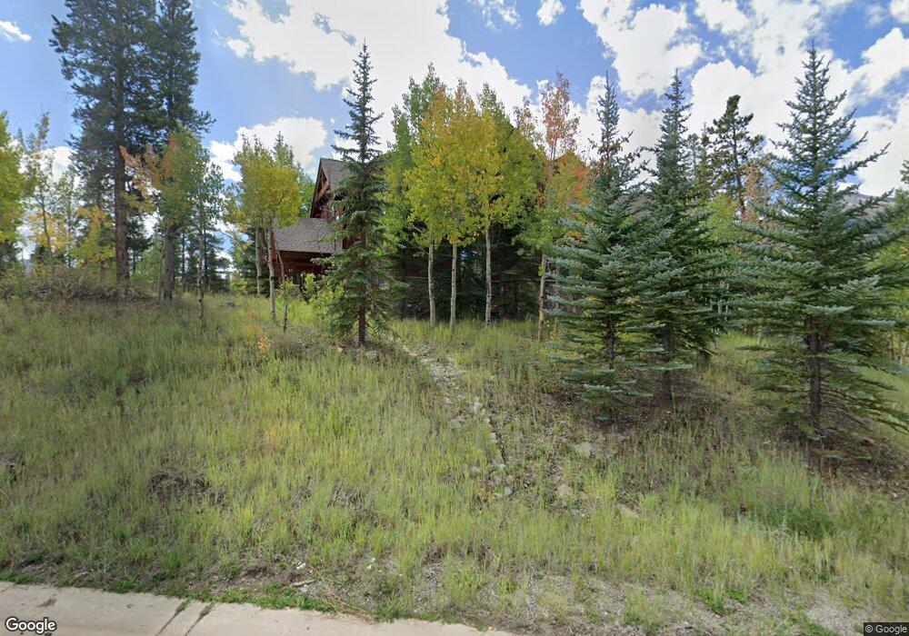
18 Wild Cat Rd Breckenridge, CO 80424
Estimated Value: $5,893,000 - $7,581,000
6
Beds
6
Baths
5,964
Sq Ft
$1,184/Sq Ft
Est. Value
About This Home
This home is located at 18 Wild Cat Rd, Breckenridge, CO 80424 and is currently estimated at $7,063,374, approximately $1,184 per square foot. 18 Wild Cat Rd is a home with nearby schools including Upper Blue Elementary School, Summit Middle School, and Summit High School.
Ownership History
Date
Name
Owned For
Owner Type
Purchase Details
Closed on
Nov 22, 2020
Sold by
Gordon Patrick R and Gordon Laura P
Bought by
Azura Holdings Llc
Current Estimated Value
Purchase Details
Closed on
Jul 29, 2011
Sold by
Day Thomas J and Day Heather
Bought by
The Patrick R Gordon & Laura P Gordon 20
Home Financials for this Owner
Home Financials are based on the most recent Mortgage that was taken out on this home.
Original Mortgage
$1,680,000
Interest Rate
4.25%
Mortgage Type
Adjustable Rate Mortgage/ARM
Purchase Details
Closed on
Oct 12, 2007
Sold by
Blodig Denise M
Bought by
Day Thomas J and Day Heather
Home Financials for this Owner
Home Financials are based on the most recent Mortgage that was taken out on this home.
Original Mortgage
$1,500,000
Interest Rate
6.37%
Mortgage Type
New Conventional
Create a Home Valuation Report for This Property
The Home Valuation Report is an in-depth analysis detailing your home's value as well as a comparison with similar homes in the area
Home Values in the Area
Average Home Value in this Area
Purchase History
| Date | Buyer | Sale Price | Title Company |
|---|---|---|---|
| Azura Holdings Llc | -- | None Available | |
| The Patrick R Gordon & Laura P Gordon 20 | $2,450,000 | Title Company Of The Rockies | |
| Day Thomas J | $2,450,000 | Landamerica |
Source: Public Records
Mortgage History
| Date | Status | Borrower | Loan Amount |
|---|---|---|---|
| Previous Owner | The Patrick R Gordon & Laura P Gordon 20 | $1,680,000 | |
| Previous Owner | Day Thomas J | $1,500,000 |
Source: Public Records
Tax History Compared to Growth
Tax History
| Year | Tax Paid | Tax Assessment Tax Assessment Total Assessment is a certain percentage of the fair market value that is determined by local assessors to be the total taxable value of land and additions on the property. | Land | Improvement |
|---|---|---|---|---|
| 2024 | $24,070 | $447,259 | -- | -- |
| 2023 | $24,070 | $443,574 | $0 | $0 |
| 2022 | $16,141 | $280,078 | $0 | $0 |
| 2021 | $16,454 | $288,138 | $0 | $0 |
| 2020 | $16,294 | $283,184 | $0 | $0 |
| 2019 | $16,082 | $283,184 | $0 | $0 |
| 2018 | $13,710 | $234,555 | $0 | $0 |
| 2017 | $12,641 | $234,555 | $0 | $0 |
| 2016 | $12,903 | $236,110 | $0 | $0 |
| 2015 | $12,528 | $236,110 | $0 | $0 |
| 2014 | $9,606 | $178,884 | $0 | $0 |
| 2013 | -- | $178,884 | $0 | $0 |
Source: Public Records
Map
Nearby Homes
- 111 Brooks and Snider Rd
- 212 Cucumber Creek Rd
- 127 Windwood Cir
- 29 Liberty Ct Unit 16
- 114 Regent Dr
- 62 Liberty Ct Unit 9
- 53 Liberty Ct Unit 13
- 166 Woods Dr Unit 2
- 186 Woods Dr Unit 4
- 204 Woods Dr Unit 5
- 164 Woods Dr Unit 1
- 206 Woods Dr Unit 6
- 27 Liberty Ct Unit 15
- 100 Windwood Cir
- 456 Peerless Dr
- 50 Mountain Thunder Dr Unit 1212
- 115 Willow Ln
- 324 N Main St Unit 5
- 293 Settlers Dr
- 114 Luisa Dr
- 38 Wild Cat Rd
- 31 Wild Cat Rd
- 66 Cucumber Path Unit 4
- 36 Cucumber Path Unit 1
- 60 Cucumber Path
- 60 Cucumber Path Unit 3
- 56 Wild Cat Rd
- 56 Wildcat Rd
- 255 Shock Hill Dr
- 53 Wild Cat Rd
- 71 Cucumber Path Unit 7
- 95 Peerless Dr
- 65 Cucumber Patch Place Unit 8
- 60 Cucumber Patch Place
- 92 Cucumber Path
- 92 Cucumber Path Unit 6
- 76 Cucumber Path
- 86 Cucumber Patch Placer Rd Unit 5 & G1
- 86 Cucumber Patch Placer Rd Unit 5
- 468 Peerless Dr